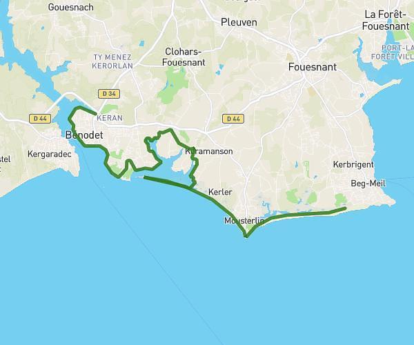
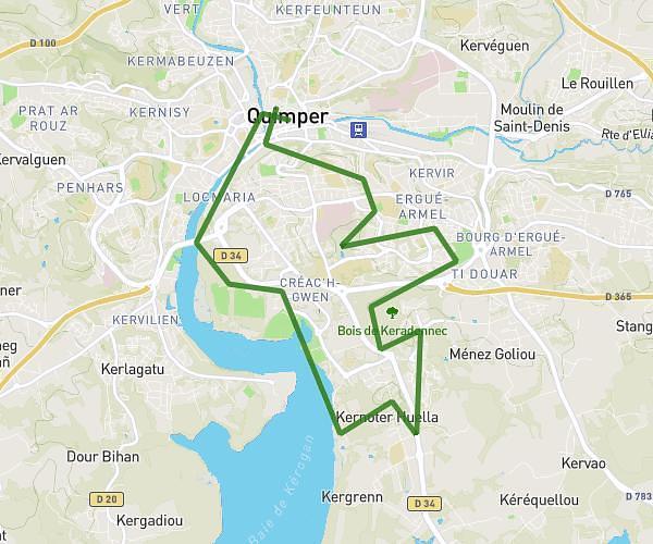
This running route covers 11.371mi starting from Quimper, Finistère. The run is a loop trail and returns to the trailhead. This run is rated as strenuous, expect about 2h2m to complete it. The route has an elevation gain of 154ft and an elevation loss of 148ft.
Kunt
Route details
5.59mph
Speed
1395 kcal
Calories burned
Loop trail
Route type
33ft
Min altitude
187ft
Max altitude
Route profile
154ft
Elevation gain
148ft
Elevation loss
33ft
Min altitude
187ft
Max altitude
How to get there
Trailhead: 1 Place Saint-Corentin, 29000 Quimper, France
GPS coordinates of the trailhead: 47.995683, -4.102322 / 47°59'44'' N, 4°6'8'' W