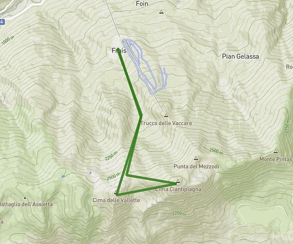
This hiking trail covers 9.322mi starting from Salbertrand, Turin. The hike does not return to the trailhead and ends near . This hike is rated as strenuous, plan for about 6h5m to complete it. The route has an elevation gain of 4833ft and an elevation loss of 4941ft.
Eclause - Monache
Route details
1.74mph
Speed
2977 kcal
Calories burned
19.9%
Avg grade
Point to point
Route type
4688ft
Min altitude
8481ft
Max altitude
High altitude
Steep climb
Route profile
4833ft
Elevation gain
4941ft
Elevation loss
4688ft
Min altitude
8481ft
Max altitude
How to get there
Trailhead: Localita' Peyron 4, 10050 Salbertrand Turin, Italy
GPS coordinates of the trailhead: 45.092063, 6.895022 / 45°5'31'' N, 6°53'42'' E