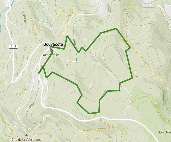
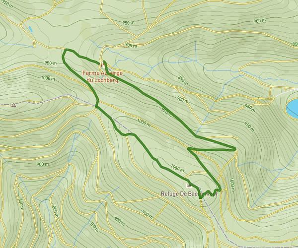
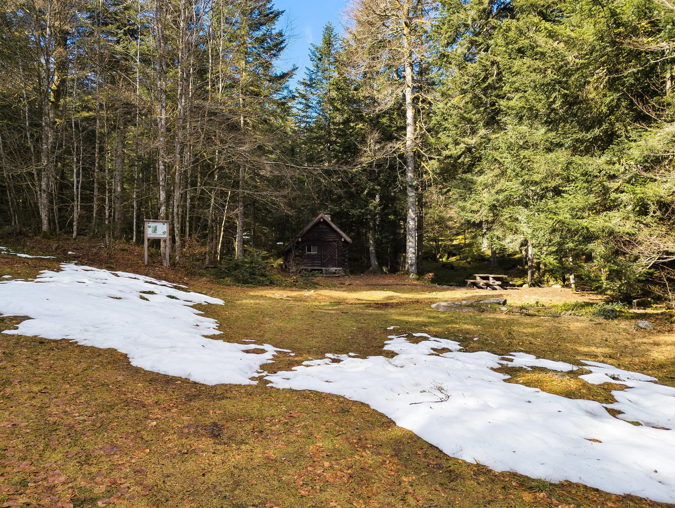
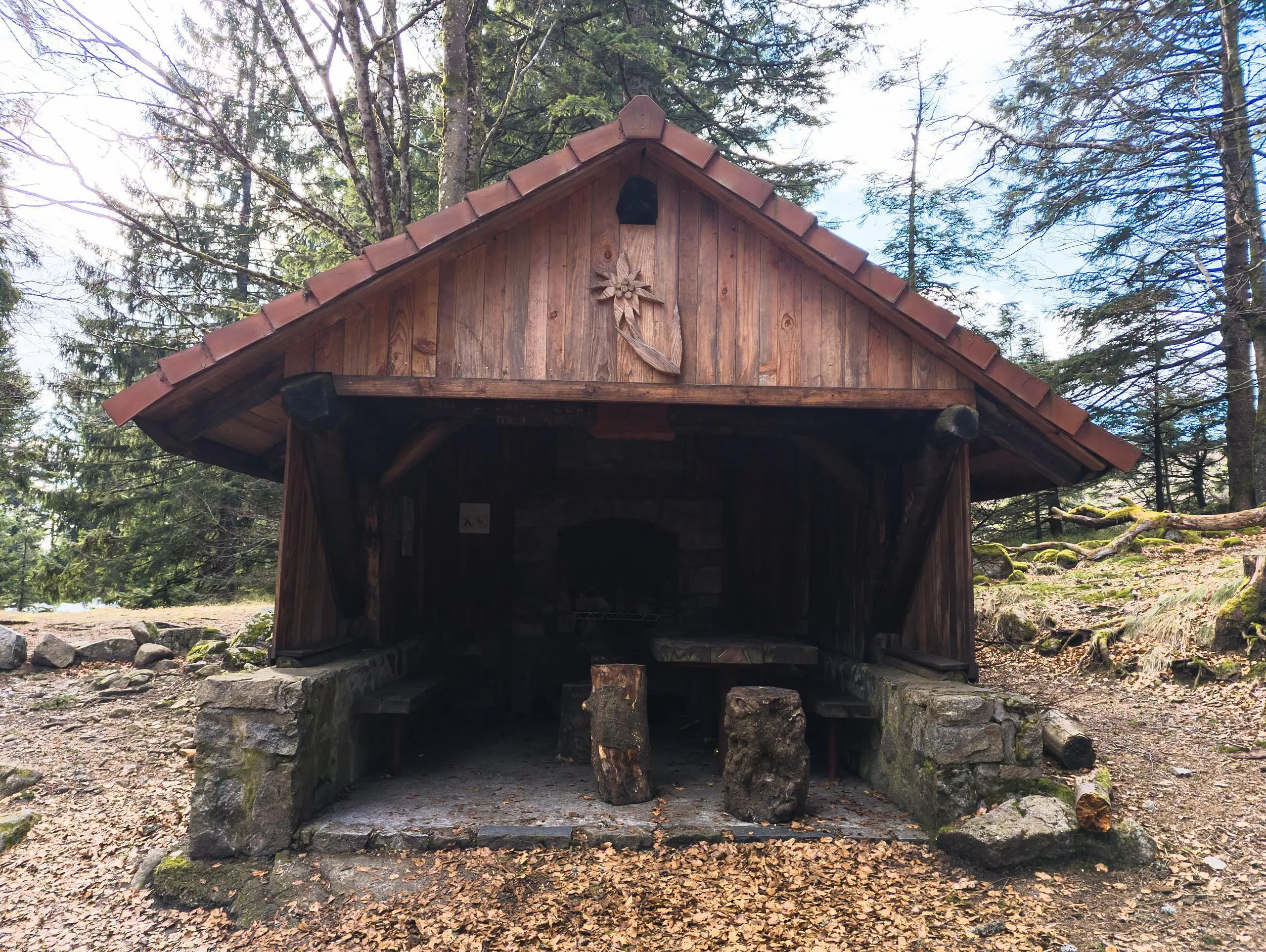
This hiking trail covers 14.361mi starting from Kruth, Fellering, Haut-Rhin. The hike is a loop trail and returns to the trailhead. This hike is rated as strenuous, plan for about 4h41m to complete it. The route has an elevation gain of 4738ft and an elevation loss of 4741ft.
Kruth - Le grand Ventron
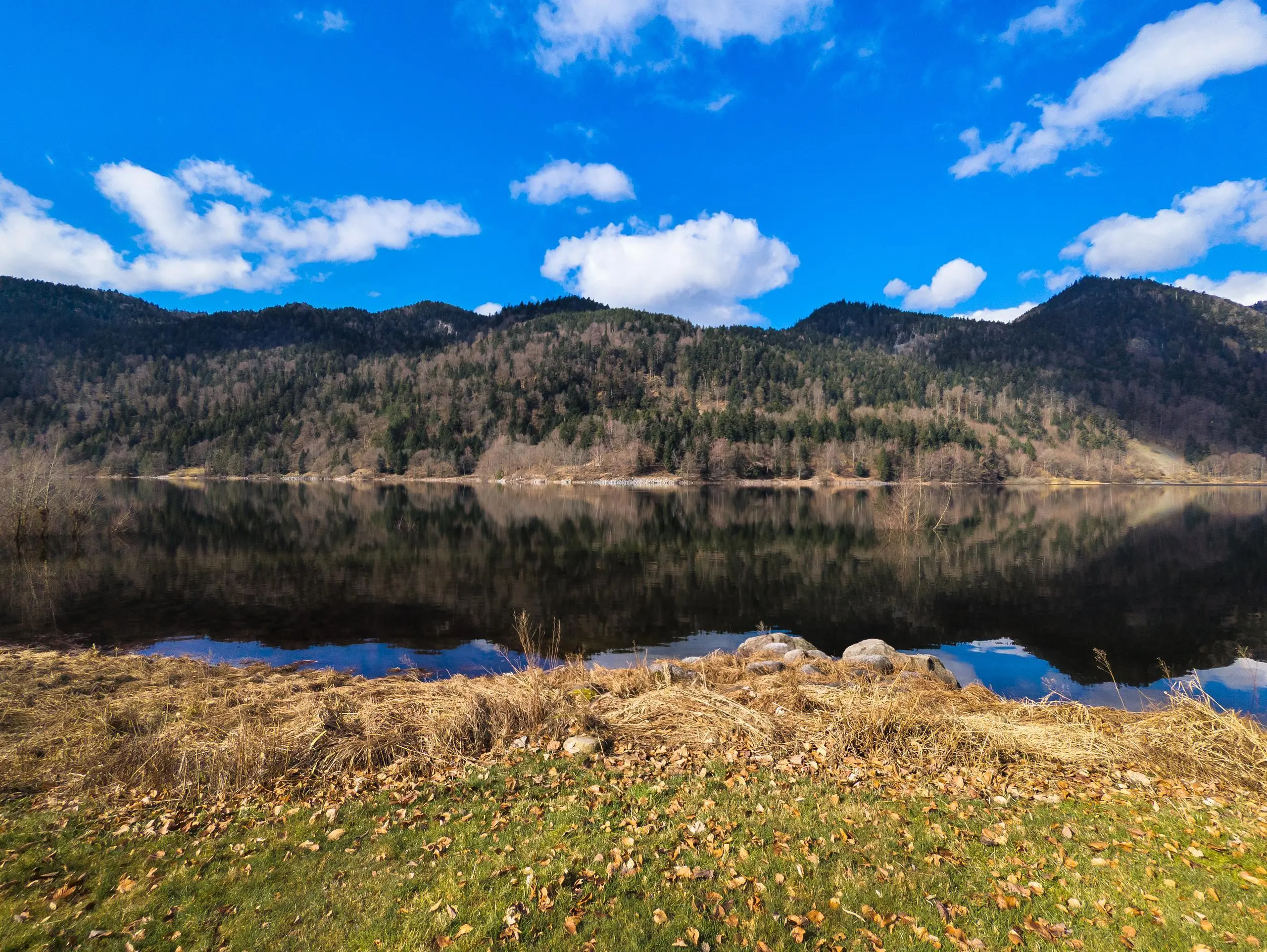
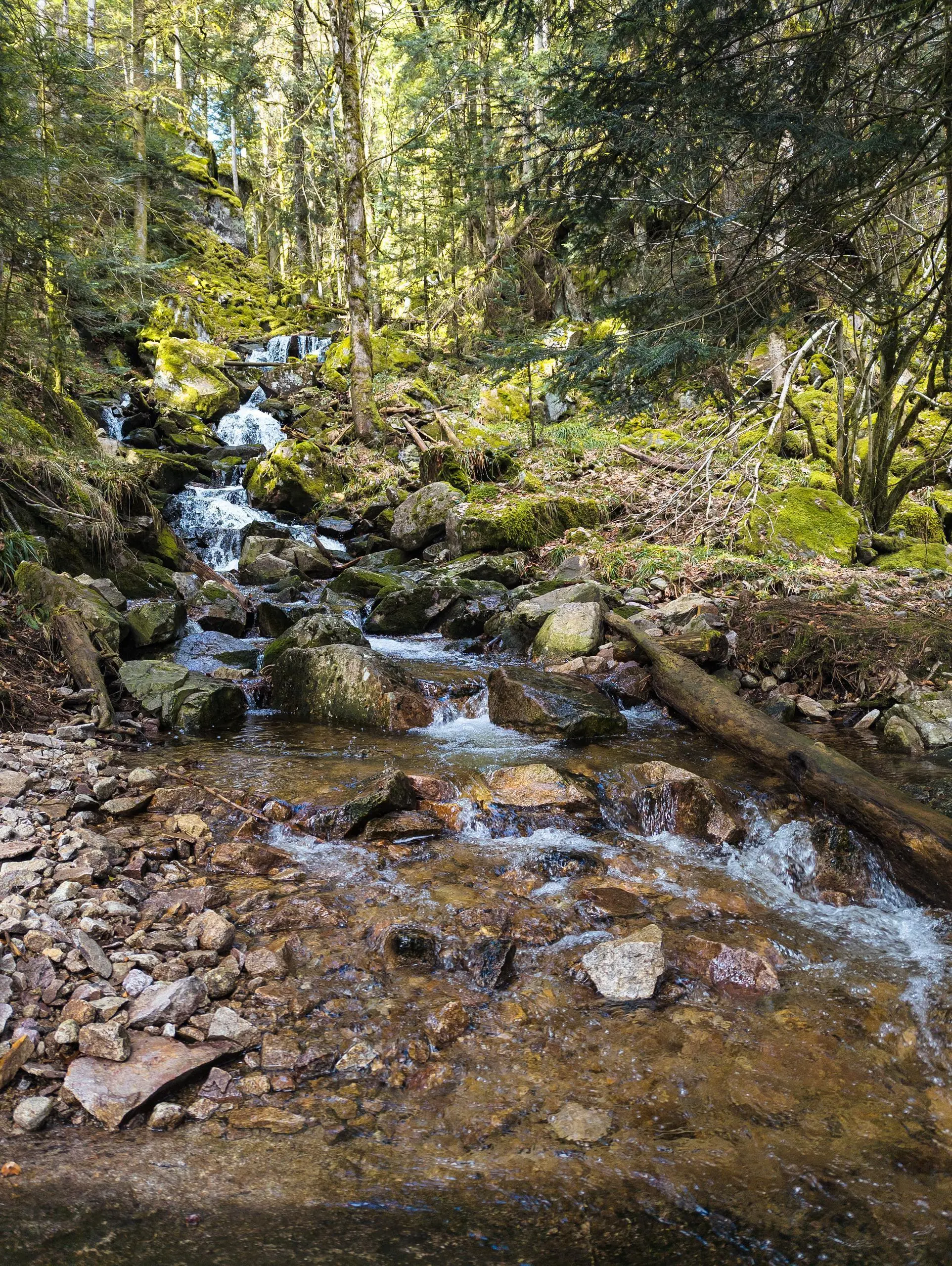
Kruth dam lake

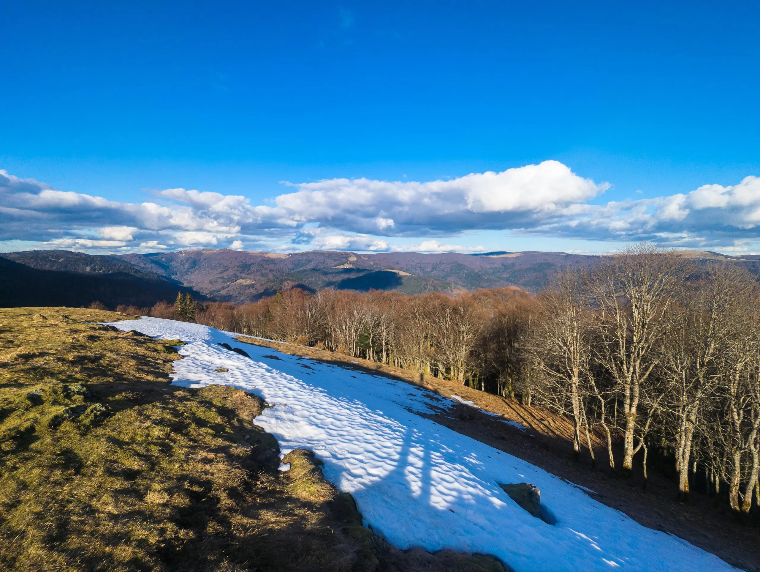
View from the summit of Grand Ventron

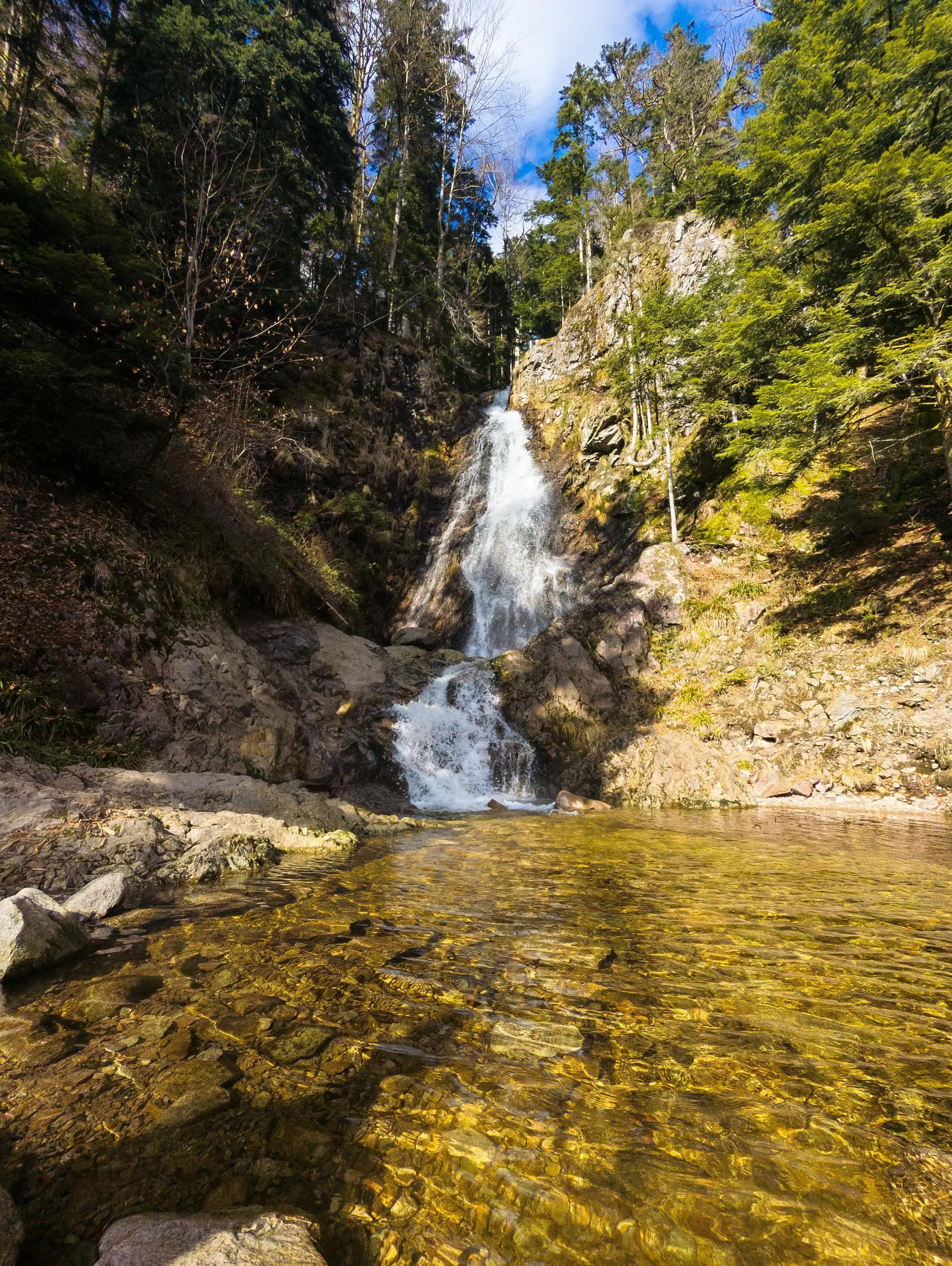
View from Haut du Felsach
View from Haut du Felsach
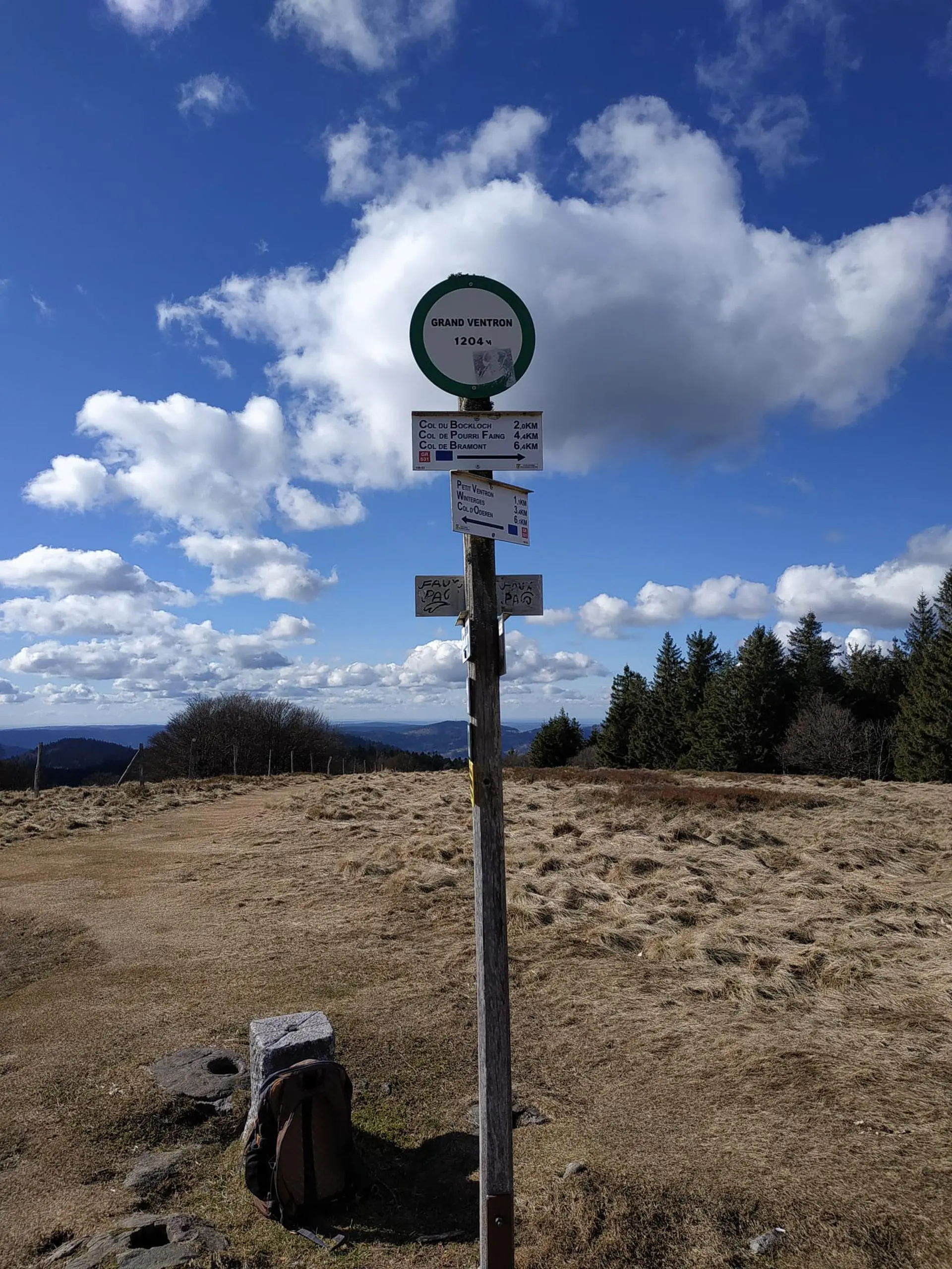
The summit of Grand Ventron
Route details
3.06mph
Speed
2172 kcal
Calories burned
12.5%
Avg grade
Loop trail
Route type
1726ft
Min altitude
3940ft
Max altitude
Steep climb
Route profile
4738ft
Elevation gain
4741ft
Elevation loss
1726ft
Min altitude
3940ft
Max altitude
How to get there
Trailhead: D 13b, 68820 Kruth, France
GPS coordinates of the trailhead: 47.951135, 6.960653 / 47°57'4'' N, 6°57'38'' E