MapPlanner
0.348mi
Distance
25m
Duration
Pace
Easy
Level

Le Pain de Sucre - Colombiers

Route details

Pace
102 kcal
Calories burned
Loop trail
Route type
883ft
Min altitude
1056ft
Max altitude

This walking route covers 0.348mi starting from Surjoux, Ain. The walk is a loop trail and returns to the trailhead. This walk is rated as easy, plan for about 25m to complete it. The route has an elevation gain of 174ft and an elevation loss of 174ft.

Description of the route by the creator

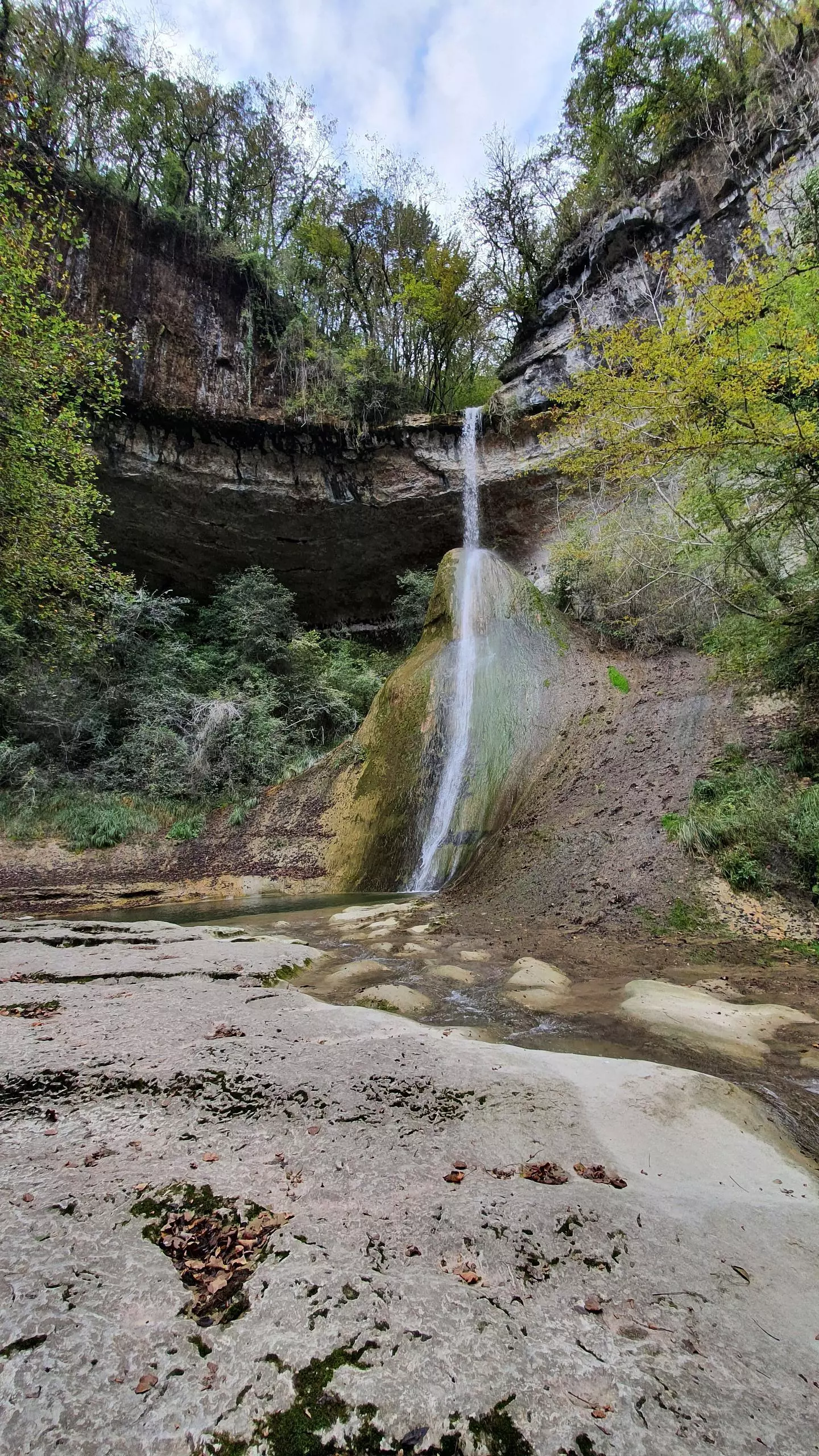
Small walk of hardly 20 minutes to admire the waterfall and the stalagmite below the waterfall.

(Description automatically translated)

Route profile

174ft
Elevation gain
174ft
Elevation loss
883ft
Min altitude
1056ft
Max altitude

How to get there

Trailhead: 10 Route Du Pain De Sucre, 01420 Surjoux-Lhopital, France

GPS coordinates of the trailhead: 46.02016, 5.80762 / 46°1'12'' N, 5°48'27'' E

Caution: May Cross Private Property

This route may pass through or near private property. Always respect posted signs, obtain permission where required, and follow local trespassing laws. MapPlanner does not guarantee public access along any route.

Safety Notice

Trail and road conditions may change without notice due to weather, construction, or other factors. Always verify current conditions before heading out. You are responsible for your own safety — follow local signage, obey traffic laws, and use your best judgment on the trail.