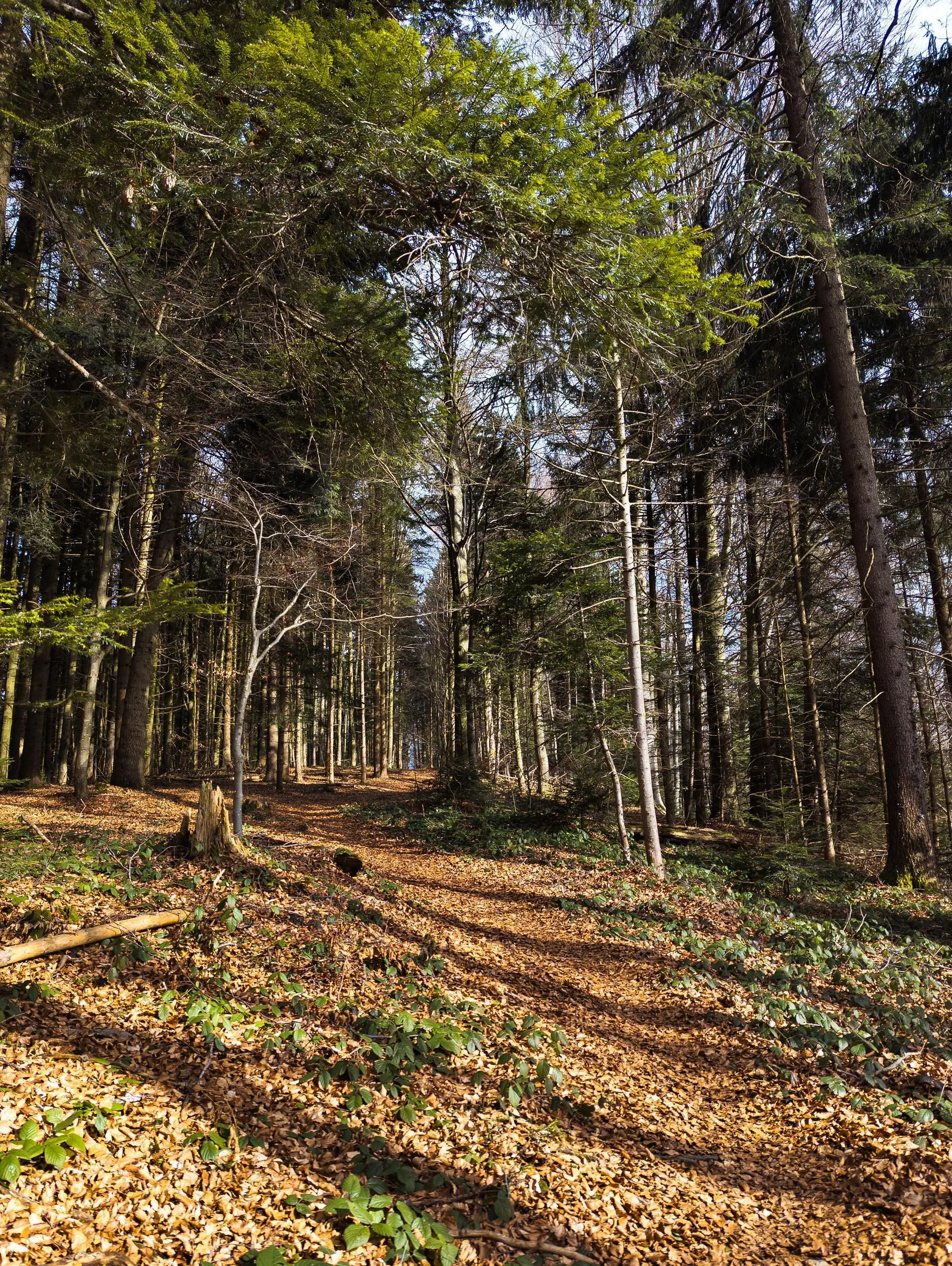
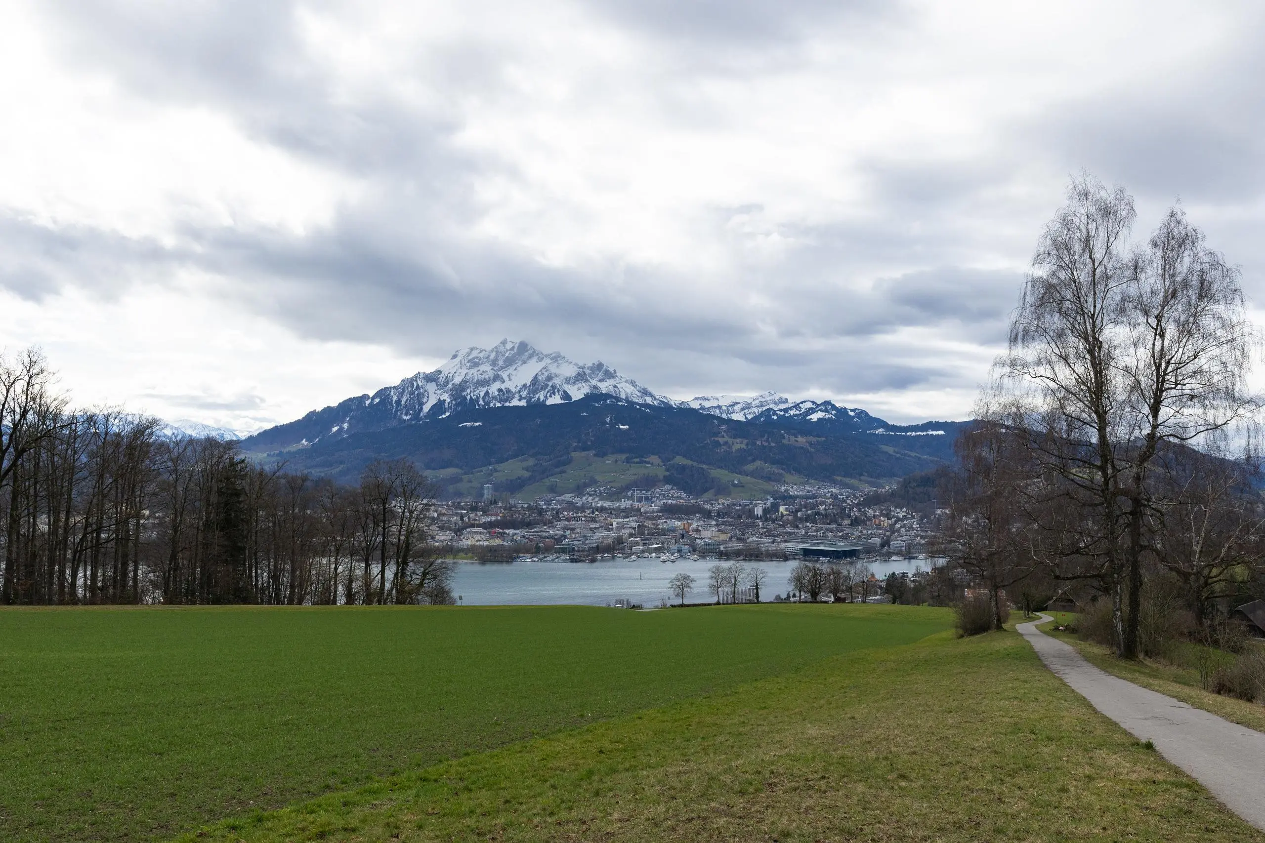
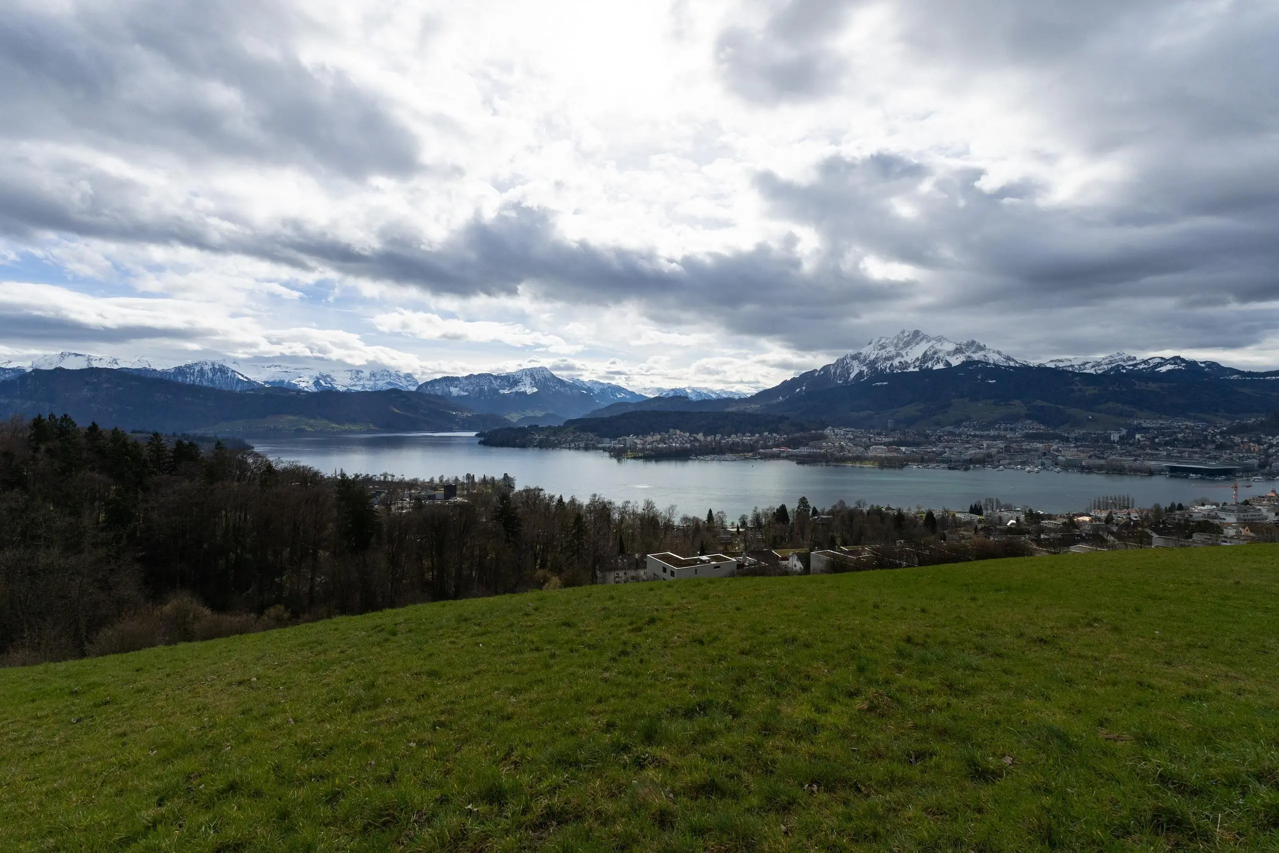
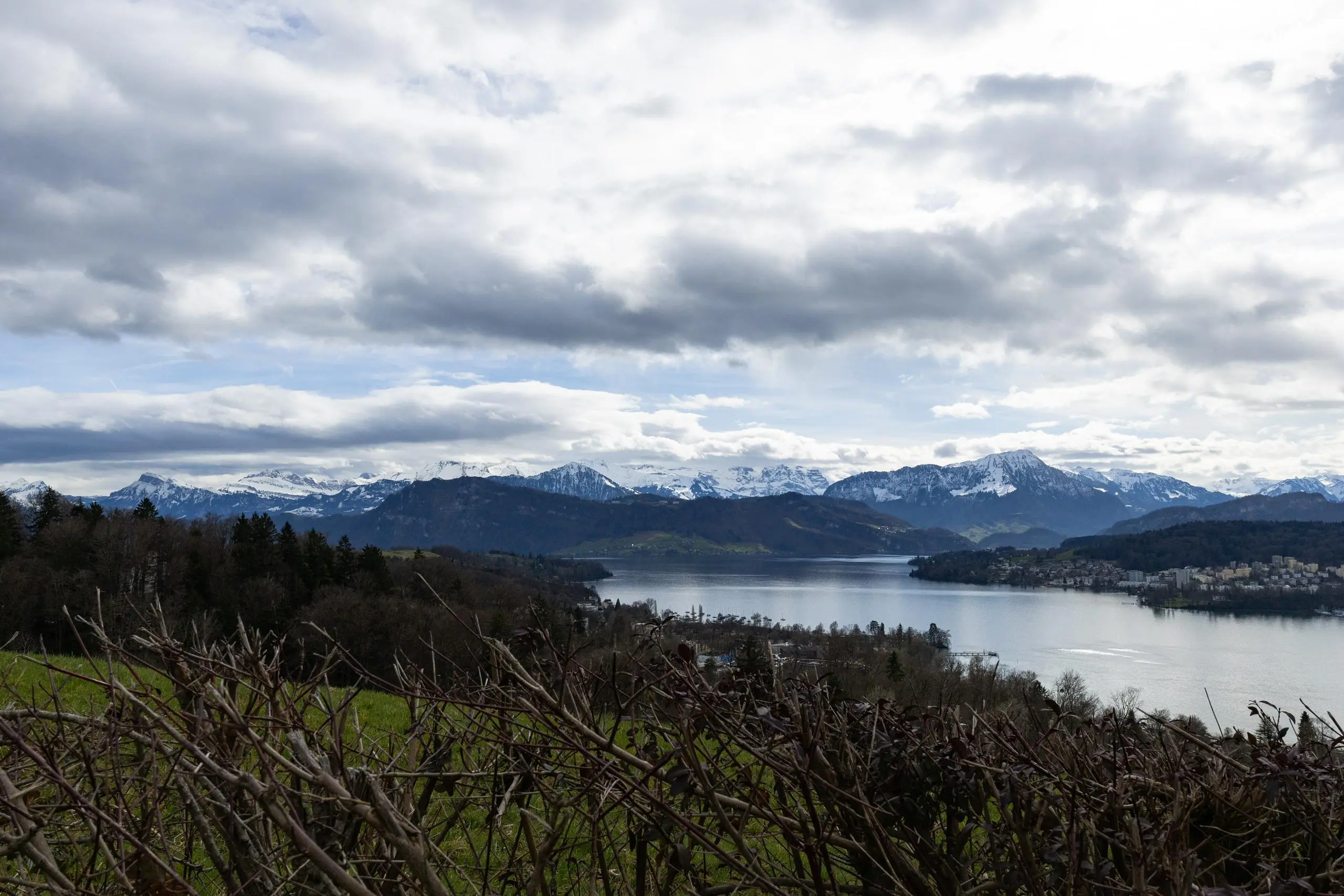
This walking route covers 6.445mi starting from Lucerne, Lucerne. The walk is a loop trail and returns to the trailhead. This walk is rated as hard, plan for about 2h18m to complete it. The route has an elevation gain of 1027ft and an elevation loss of 1030ft.
Lucerne
Route details
21:25/mi
Pace
564 kcal
Calories burned
Loop trail
Route type
1414ft
Min altitude
2247ft
Max altitude
Route profile
1027ft
Elevation gain
1030ft
Elevation loss
1414ft
Min altitude
2247ft
Max altitude
How to get there
Trailhead: Gibraltarstrasse 13, 6003 Lucerne, Switzerland
GPS coordinates of the trailhead: 47.050547, 8.298762 / 47°3'1'' N, 8°17'55'' E