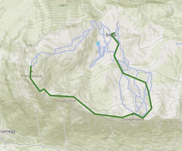
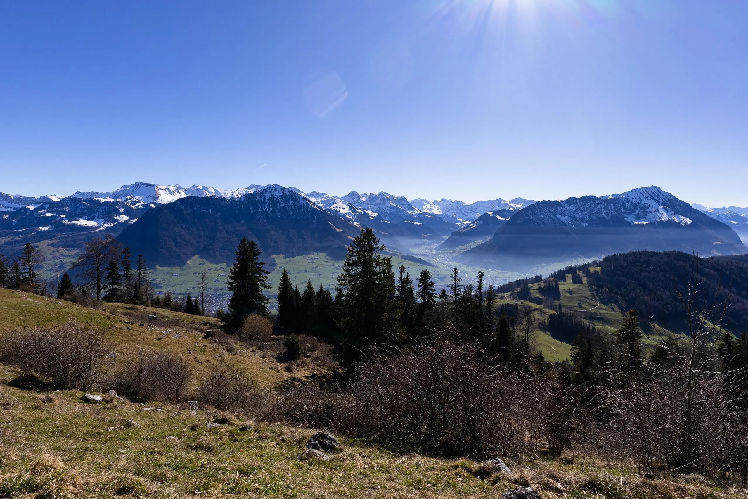
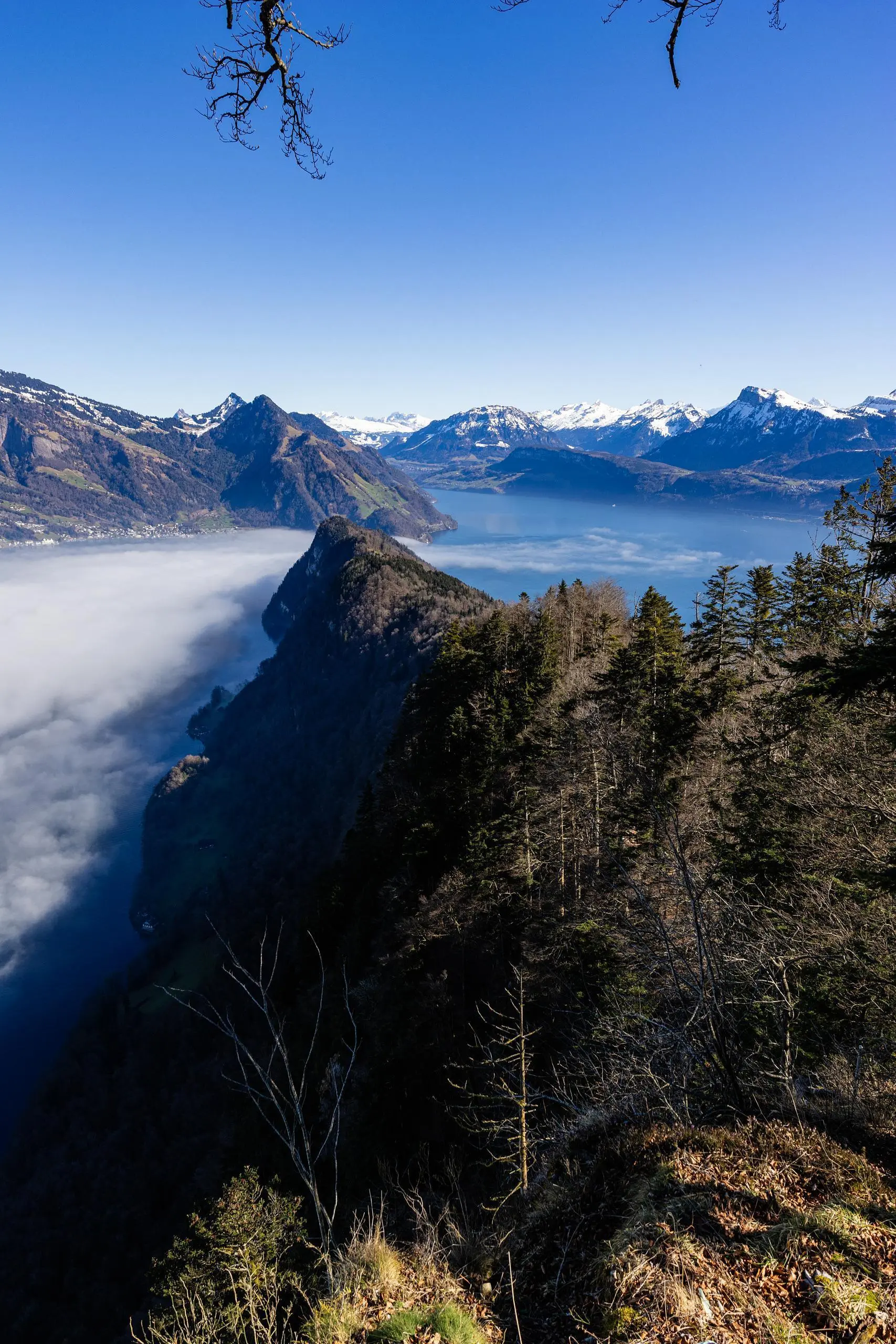
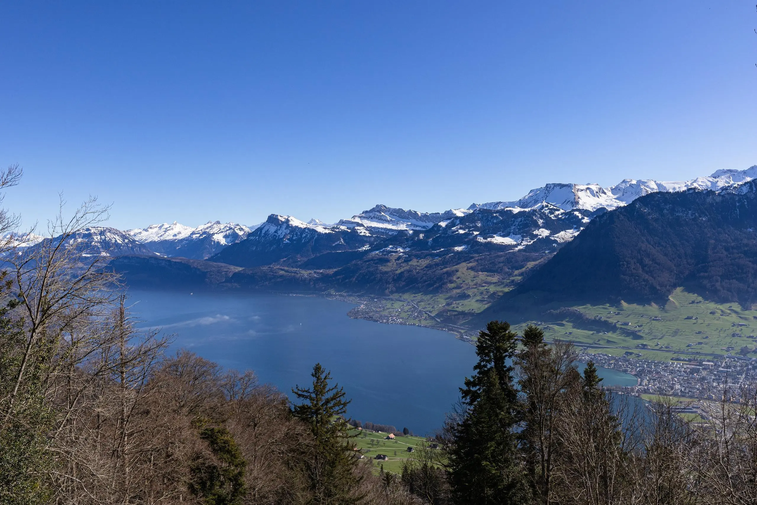
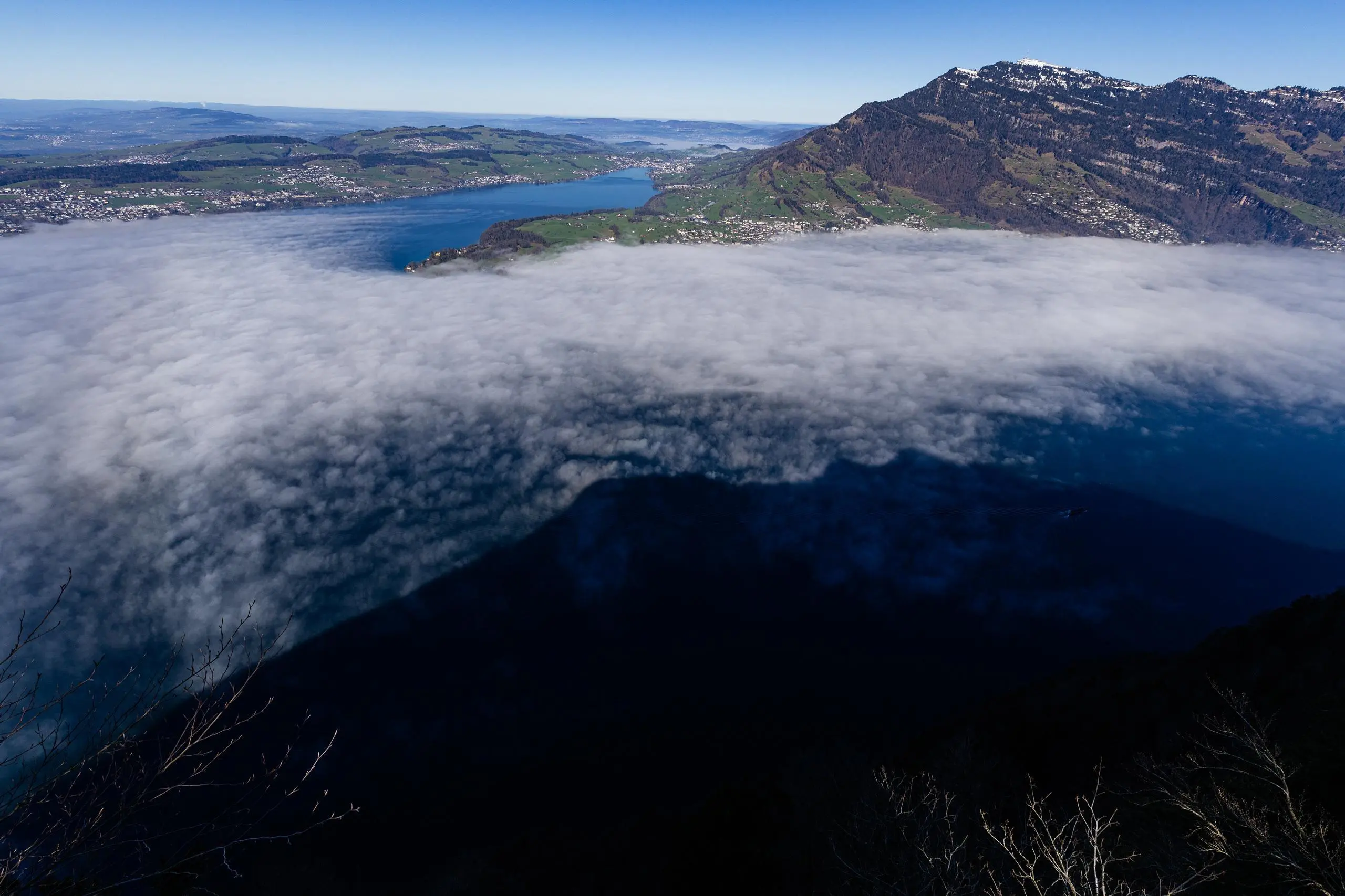
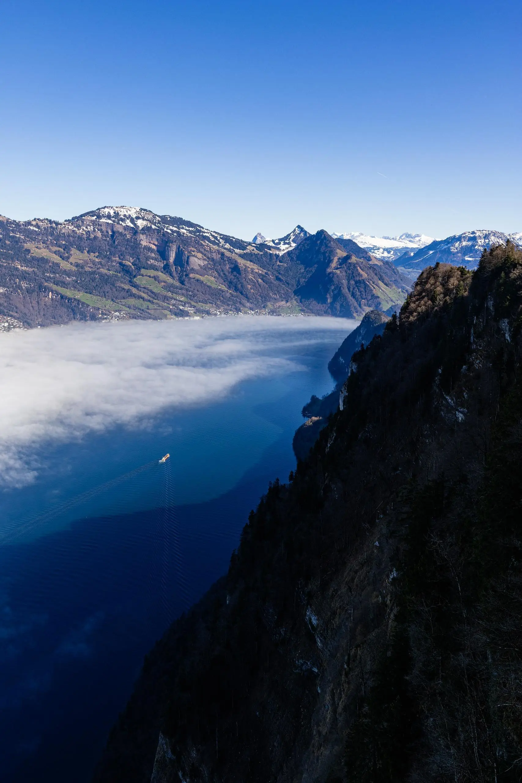
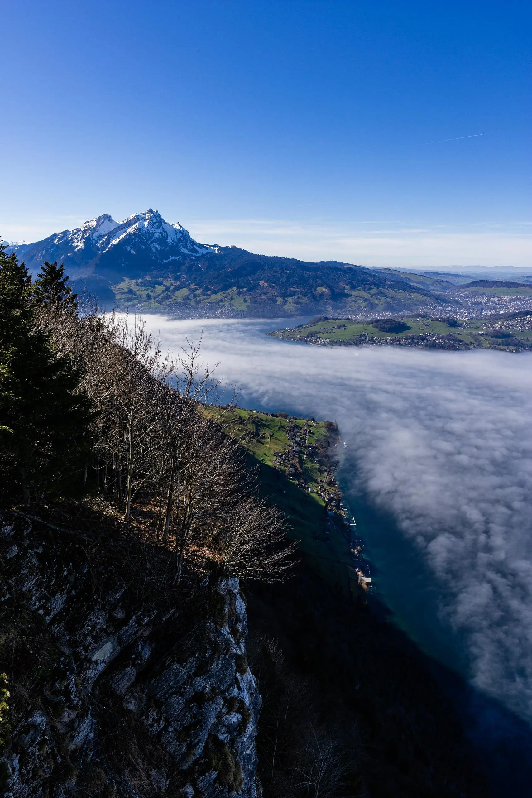
This hiking trail covers 3.472mi starting from Bürgenstock, Nidwalden. The hike is a loop trail and returns to the trailhead. This hike is rated as hard, plan for about 1h50m to complete it. The route has an elevation gain of 1388ft and an elevation loss of 1391ft.
Lucerne - Bürgenstock

Route details
1.9mph
Speed
867 kcal
Calories burned
15.2%
Avg grade
Loop trail
Route type
2772ft
Min altitude
3648ft
Max altitude
Steep climb
Route profile
1388ft
Elevation gain
1391ft
Elevation loss
2772ft
Min altitude
3648ft
Max altitude
How to get there
Trailhead: Bürgenstockstrasse 30, 6363 Bürgenstock, Switzerland
GPS coordinates of the trailhead: 46.996506, 8.38511 / 46°59'47'' N, 8°23'6'' E