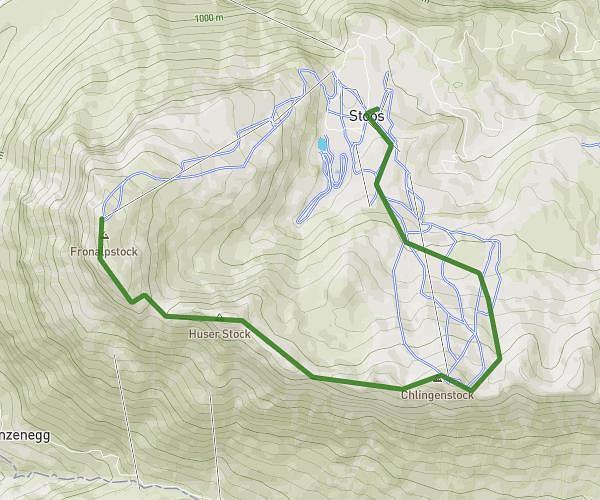
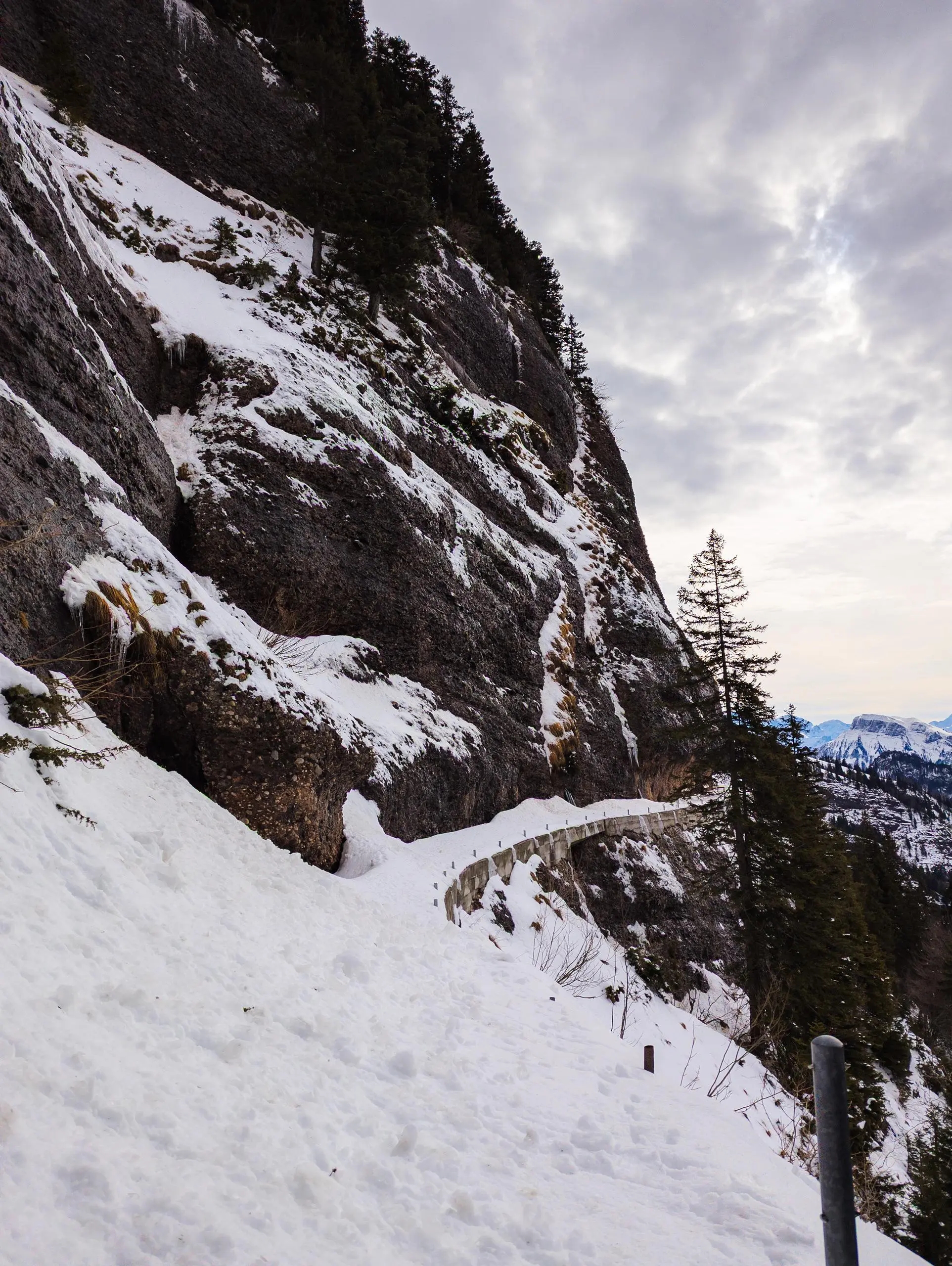
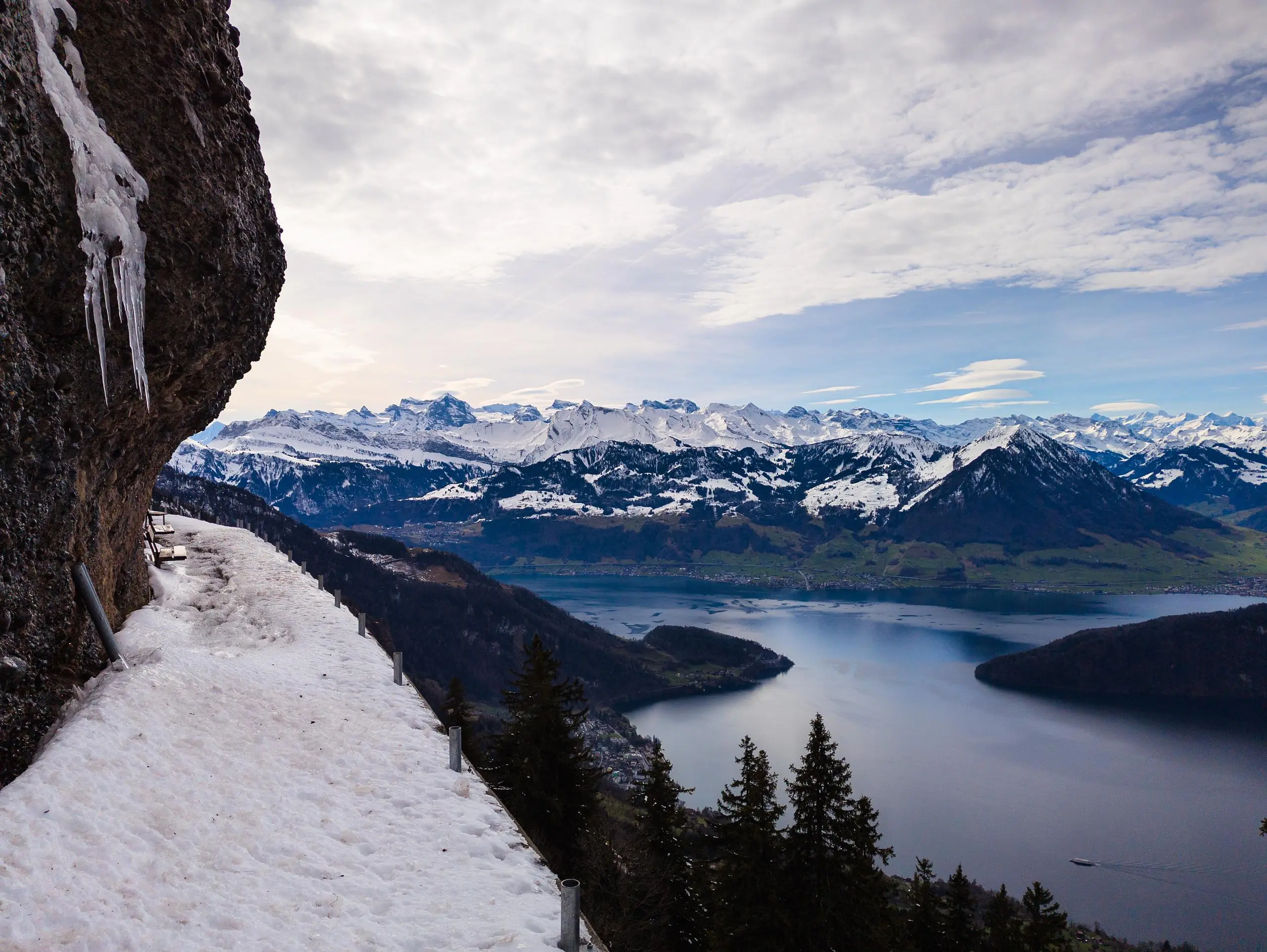
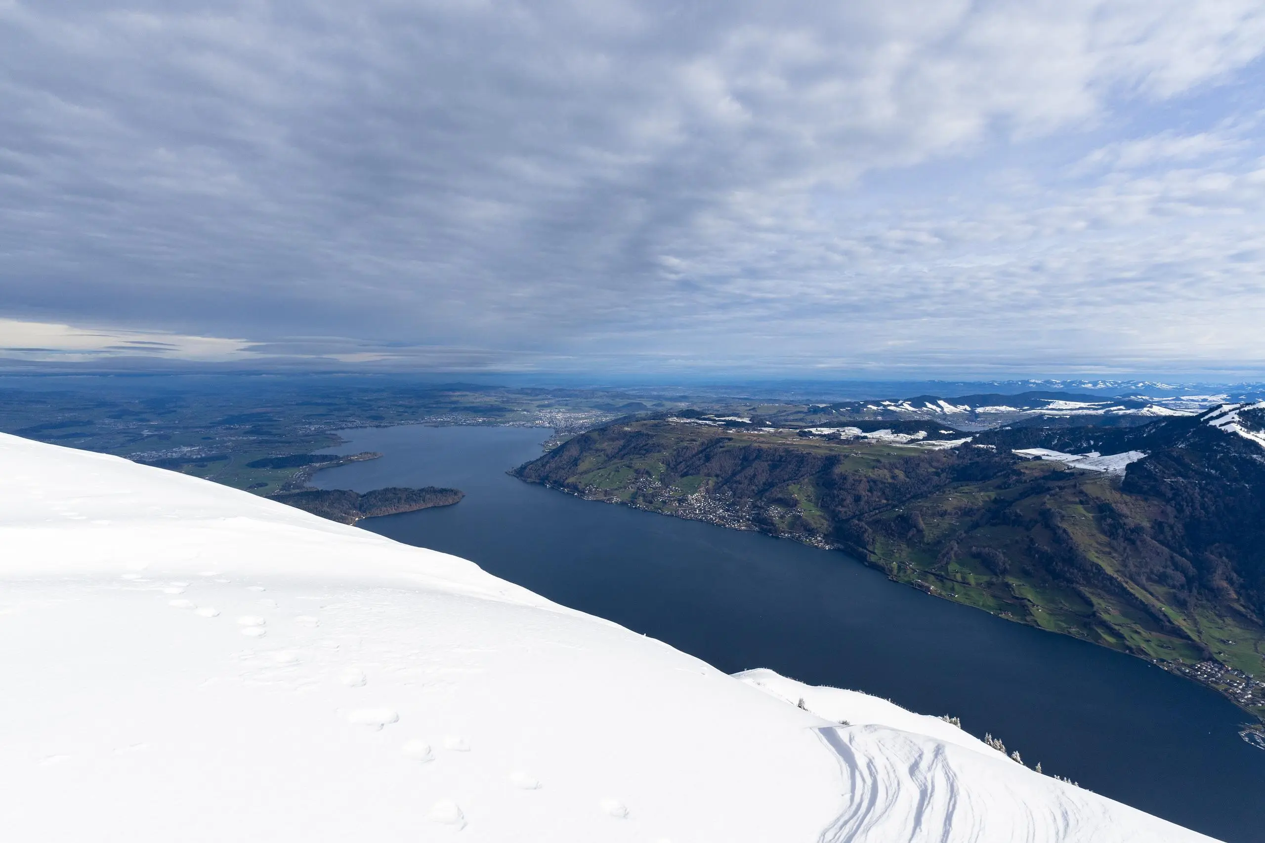
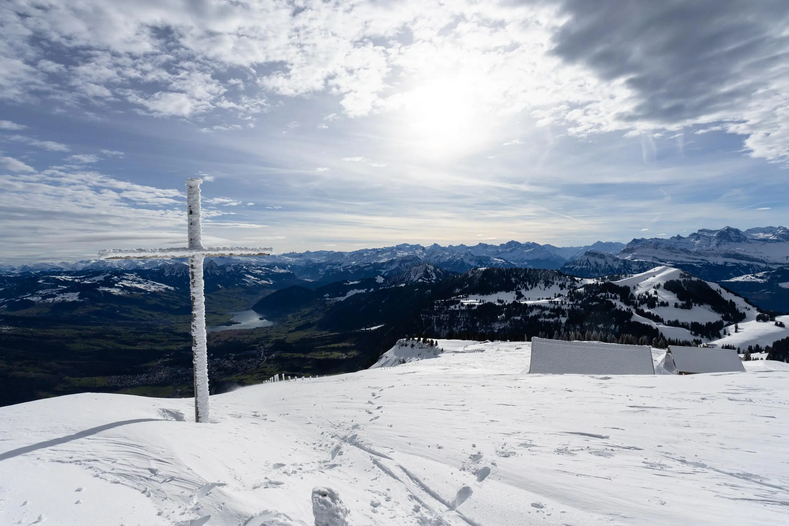
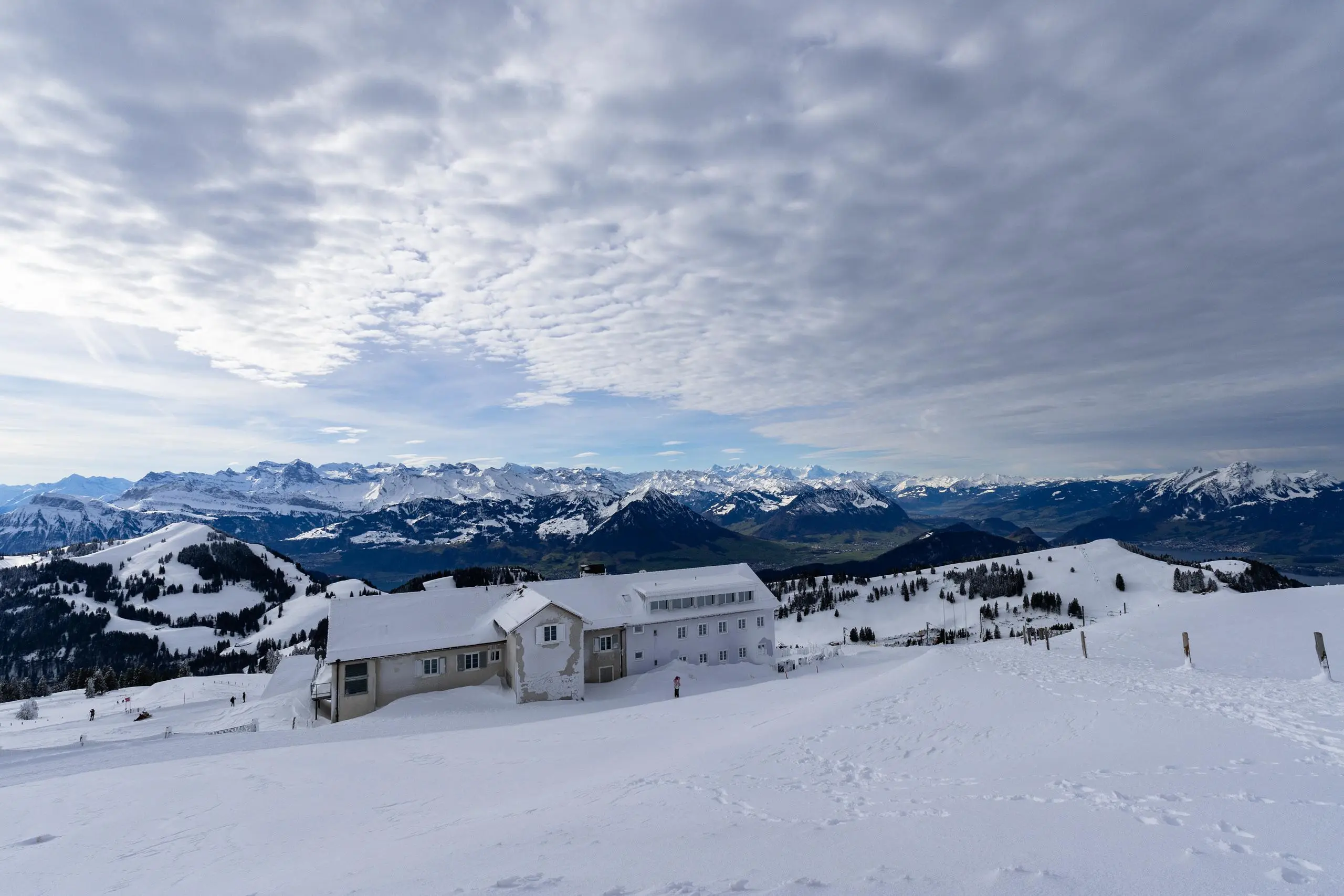
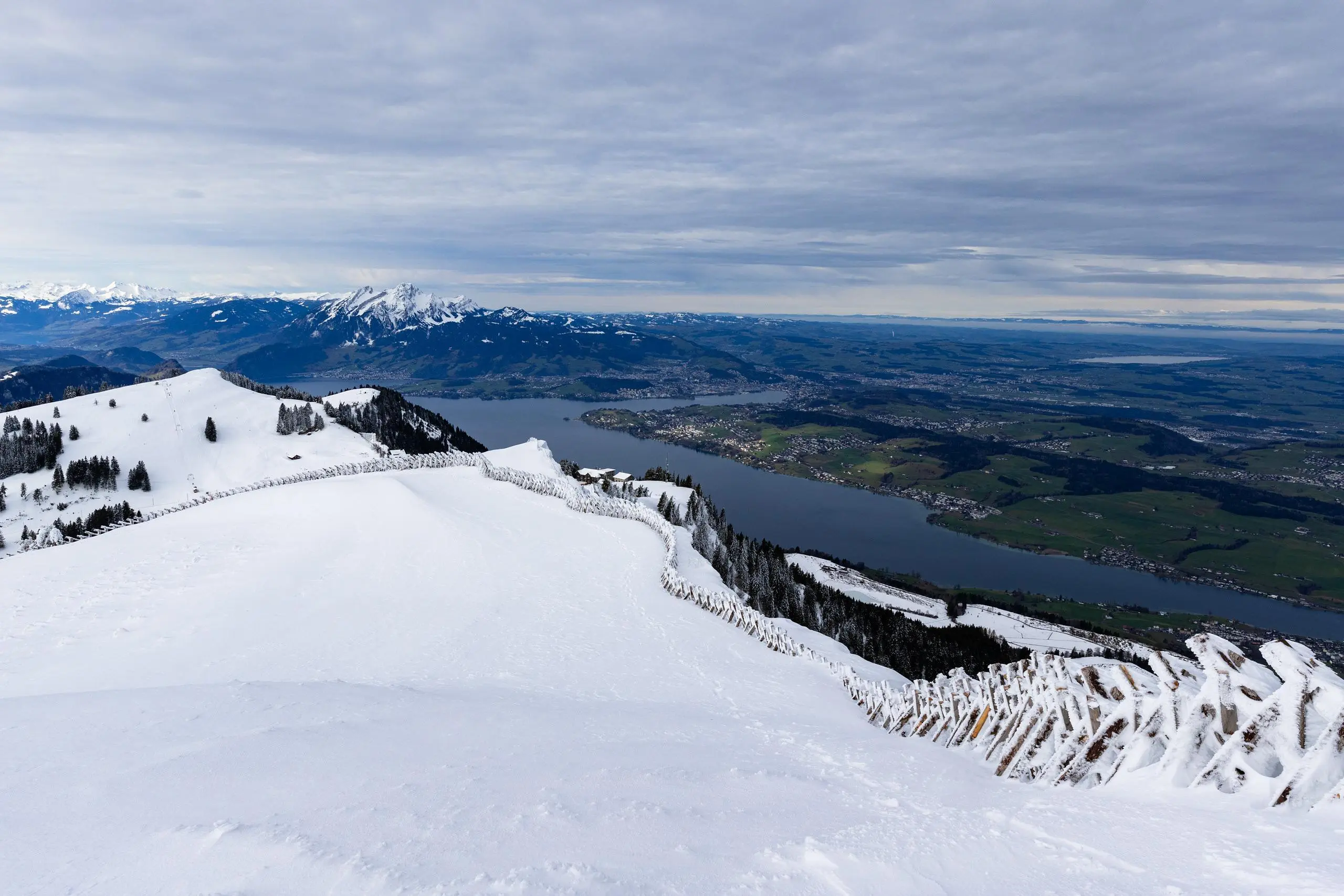
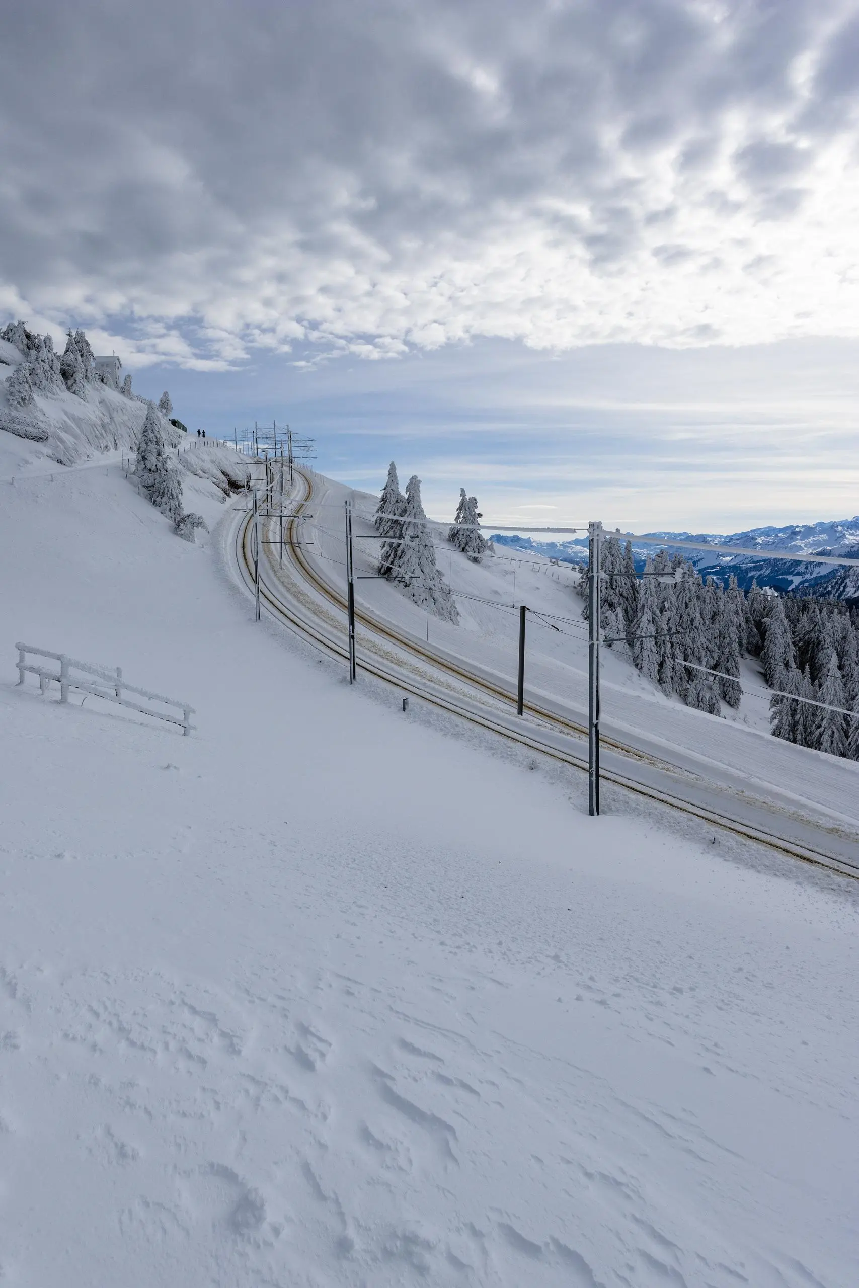
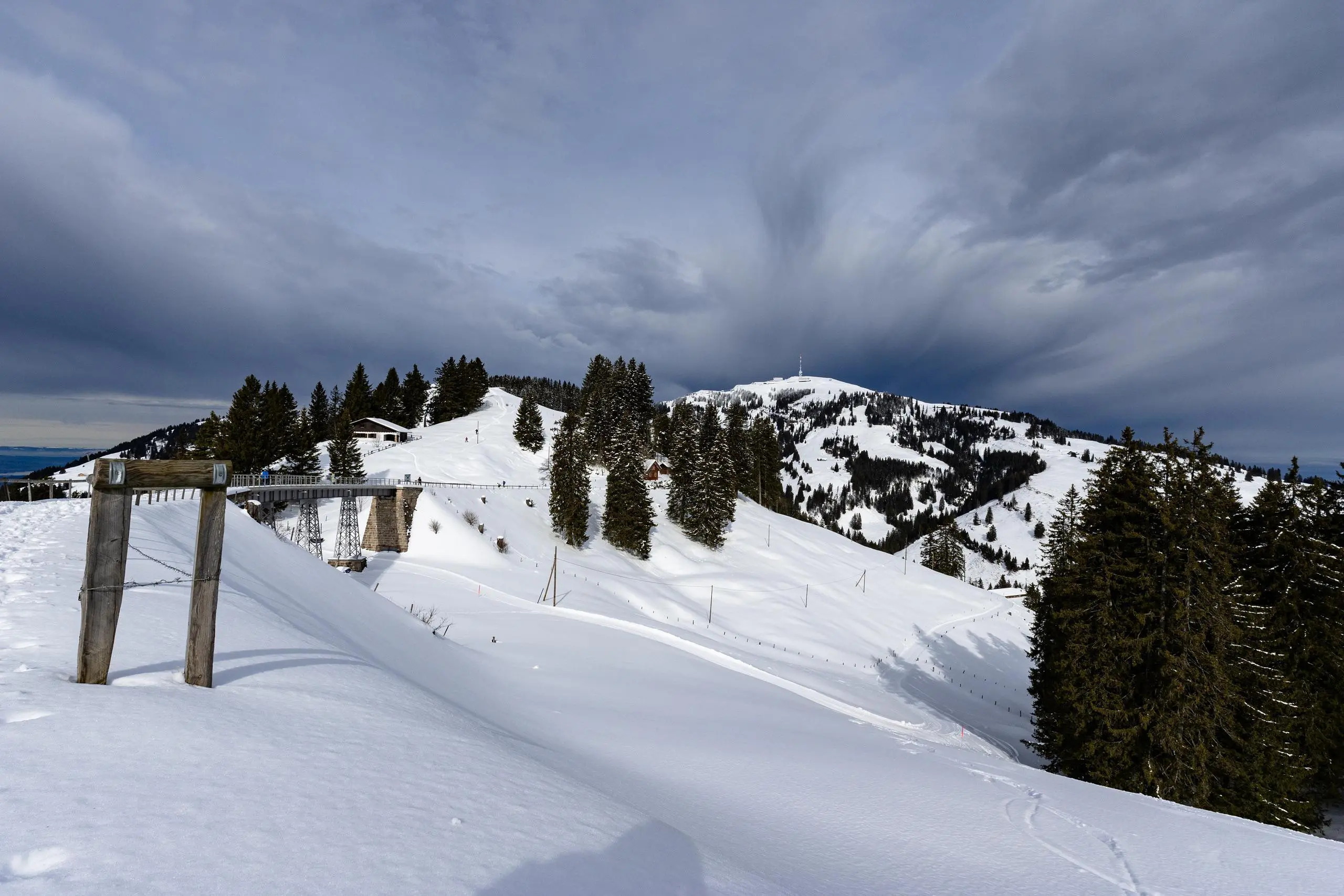
This hiking trail covers 6.125mi starting from Rigi Kulm, Schwyz, Rigi Kaltbad, Lucerne. The hike does not return to the trailhead and ends near Hinterbergen 5, 6354 Vitznau, Switzerland. This hike is rated as hard, plan for about 2h11m to complete it. The route has an elevation gain of 1486ft and an elevation loss of 3878ft.
Rigi - Vitznau
Route details
2.8mph
Speed
990 kcal
Calories burned
16.6%
Avg grade
Point to point
Route type
3422ft
Min altitude
5879ft
Max altitude
Steep climb
Route profile
1486ft
Elevation gain
3878ft
Elevation loss
3422ft
Min altitude
5879ft
Max altitude
How to get there
Trailhead: Kulmweg 11, 6410 Rigi Kulm, Switzerland
GPS coordinates of the trailhead: 47.05612, 8.4858 / 47°3'22'' N, 8°29'8'' E