MapPlanner
2.121mi
Distance
1h35m
Duration
44:42/mi
Pace
Easy
Level

Réserve du bout du lac d'Annecy

View on the lake from the port of Doussard
Old oak of more than 250 years
Passage through the rose garden
The passage in the marshy area
Beauvivier Tower dating from the 13th century

Route details

44:42/mi
Pace
388 kcal
Calories burned
Loop trail
Route type
1473ft
Min altitude
1486ft
Max altitude

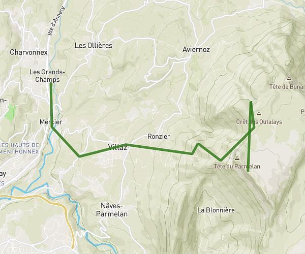
This walking route covers 2.121mi starting from Doussard, Haute-Savoie. The walk is a loop trail and returns to the trailhead. This walk is rated as easy, plan for about 1h35m to complete it. The route has an elevation gain of 20ft and an elevation loss of 20ft.

Description of the route by the creator

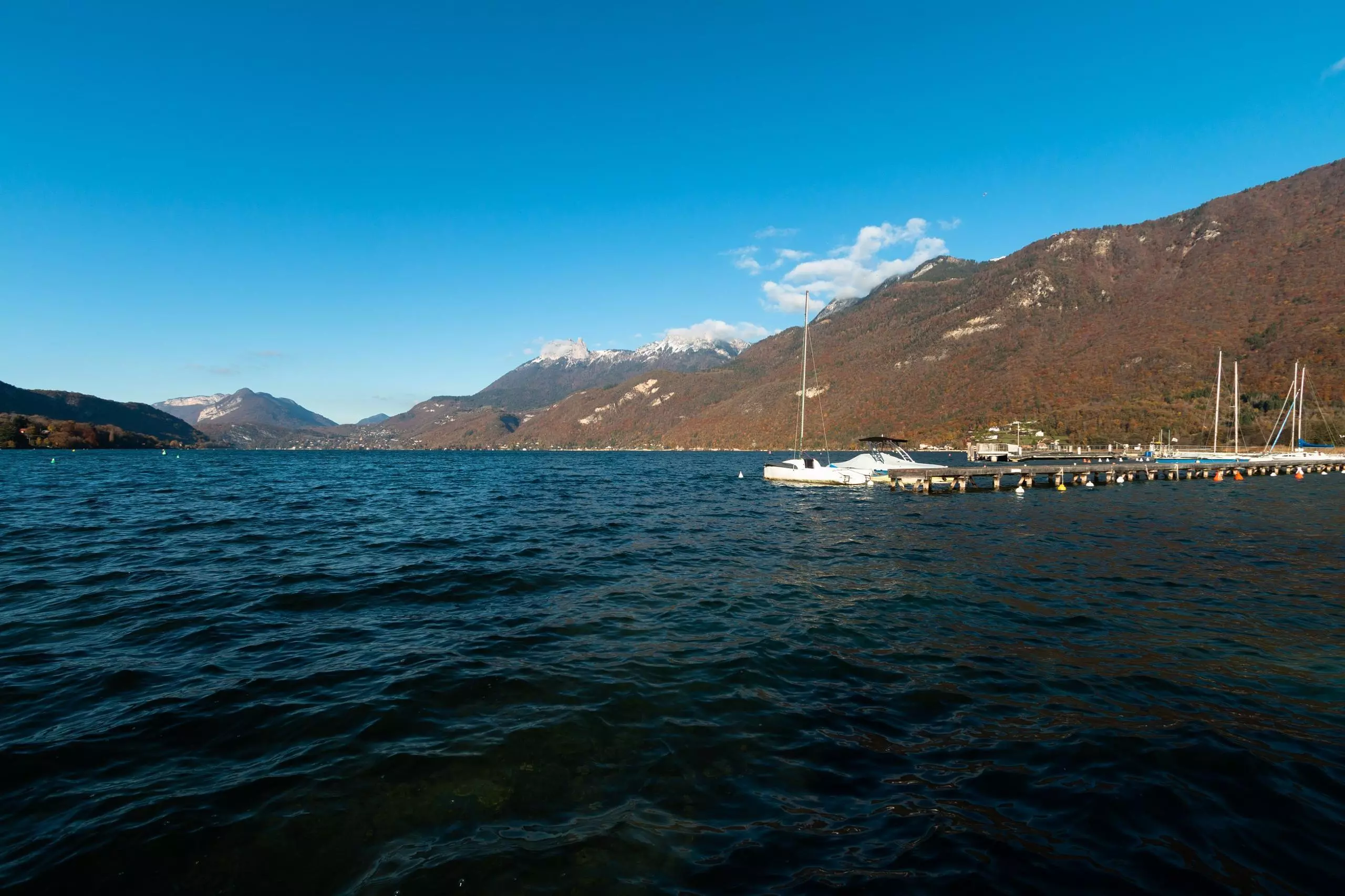
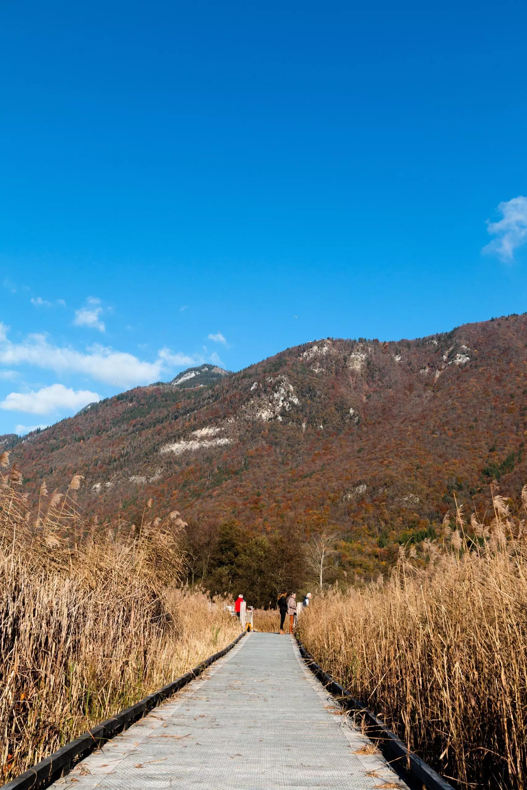
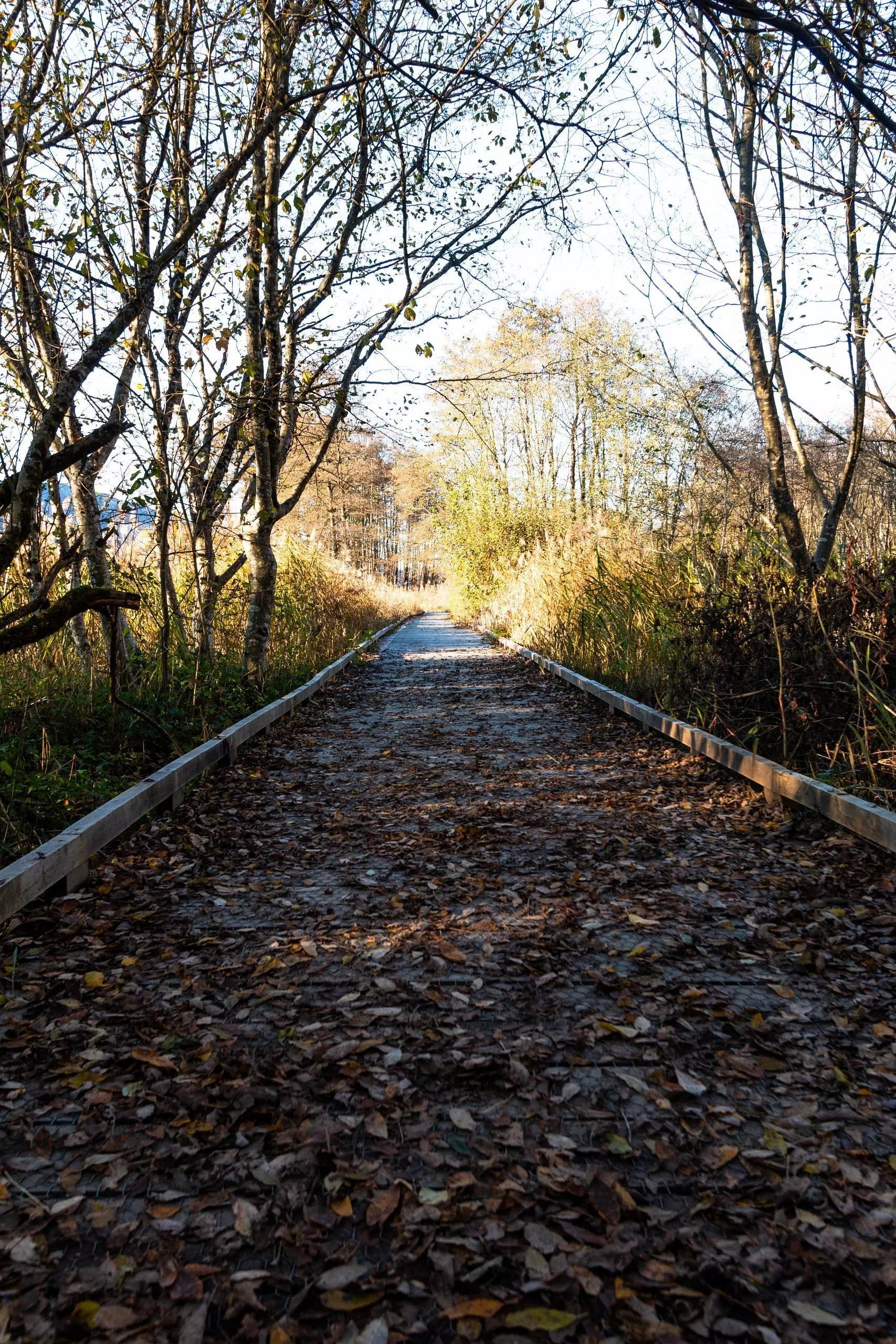
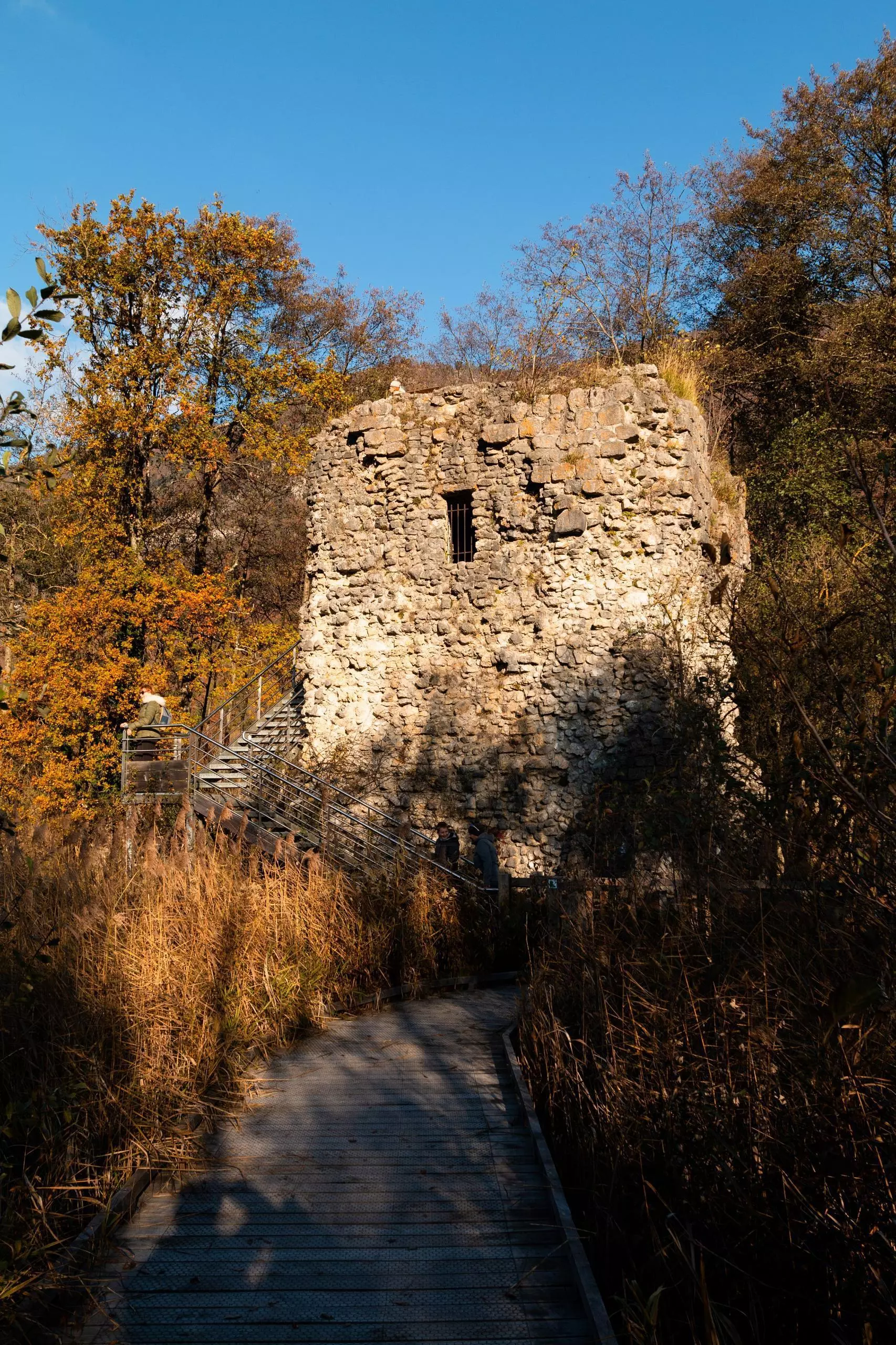
Stroll in the reserve of the end of the lake of Annecy in autumn. Very easy route, half on stilts. Beautiful view on the lake from Doussard. Two possible departures : from the page or from the parking of the natural reserve.

(Description automatically translated)

Route profile

20ft
Elevation gain
20ft
Elevation loss
1473ft
Min altitude
1486ft
Max altitude

How to get there

Trailhead: Accès Réserve Naturelle Du Bout Du Lac, 74210 Doussard, France

GPS coordinates of the trailhead: 45.79224, 6.21695 / 45°47'32'' N, 6°13'1'' E

Caution: May Cross Private Property

This route may pass through or near private property. Always respect posted signs, obtain permission where required, and follow local trespassing laws. MapPlanner does not guarantee public access along any route.

Safety Notice

Trail and road conditions may change without notice due to weather, construction, or other factors. Always verify current conditions before heading out. You are responsible for your own safety — follow local signage, obey traffic laws, and use your best judgment on the trail.