Tour de lac d'Annecy en automne

Entrevernes Mountain from the Glières
View on Annecy at sunset
Castle of Héré
Castle of Héré
View of the lake from the Pâquier
View on the Tournette from Duingt
The "little lake" of Annecy

Route details

Explore this cycling route of 23.321mi starting from Annecy, Haute-Savoie. The ride is a loop and returns to the starting point. This route is rated as easy, plan for about 2h10m to complete it. The route has a positive elevation gain of 187ft and a negative elevation loss of 217ft.

Description of the route by the creator

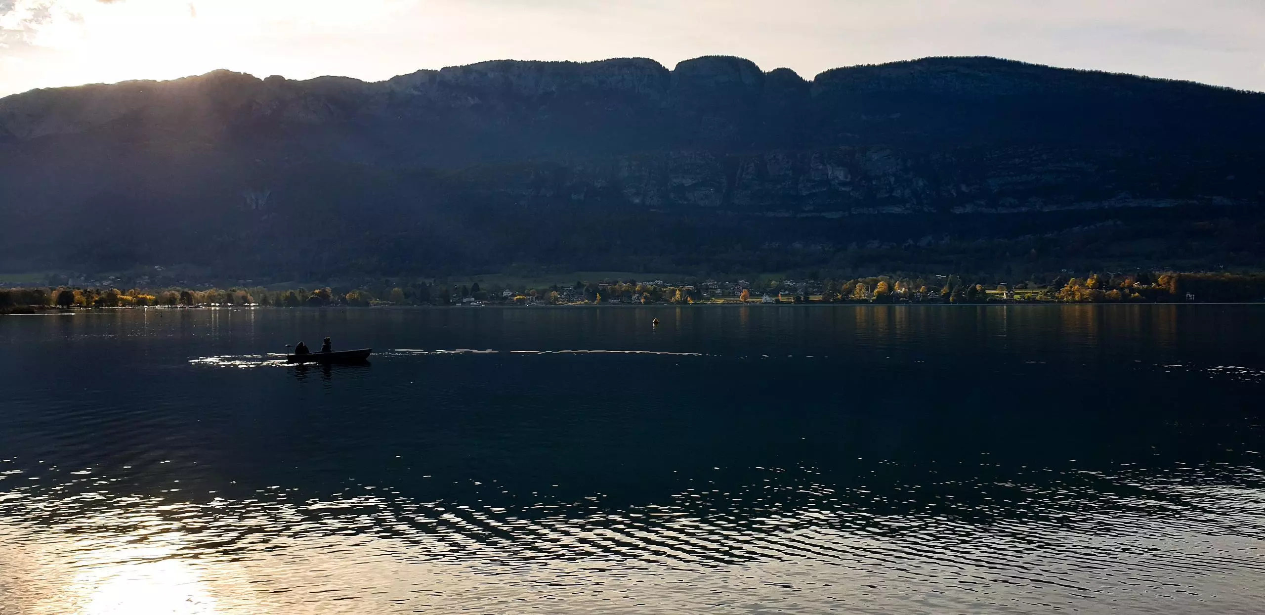
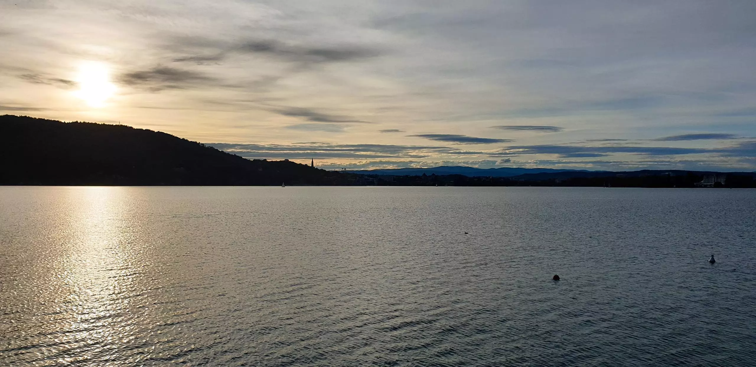
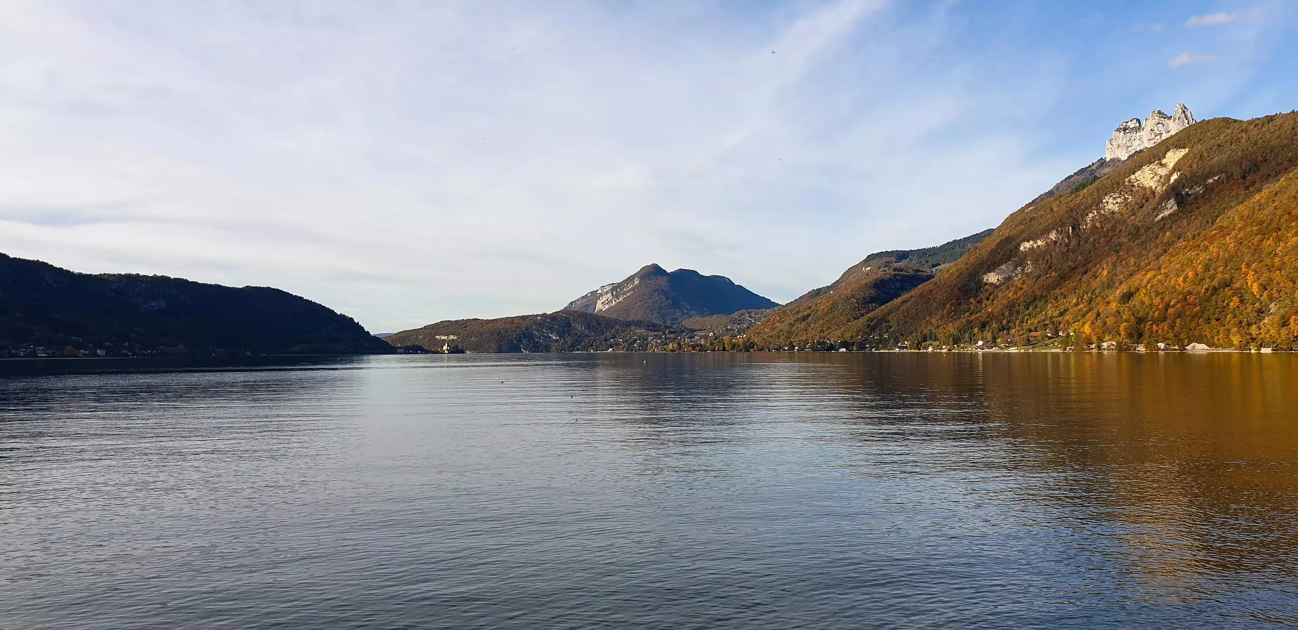
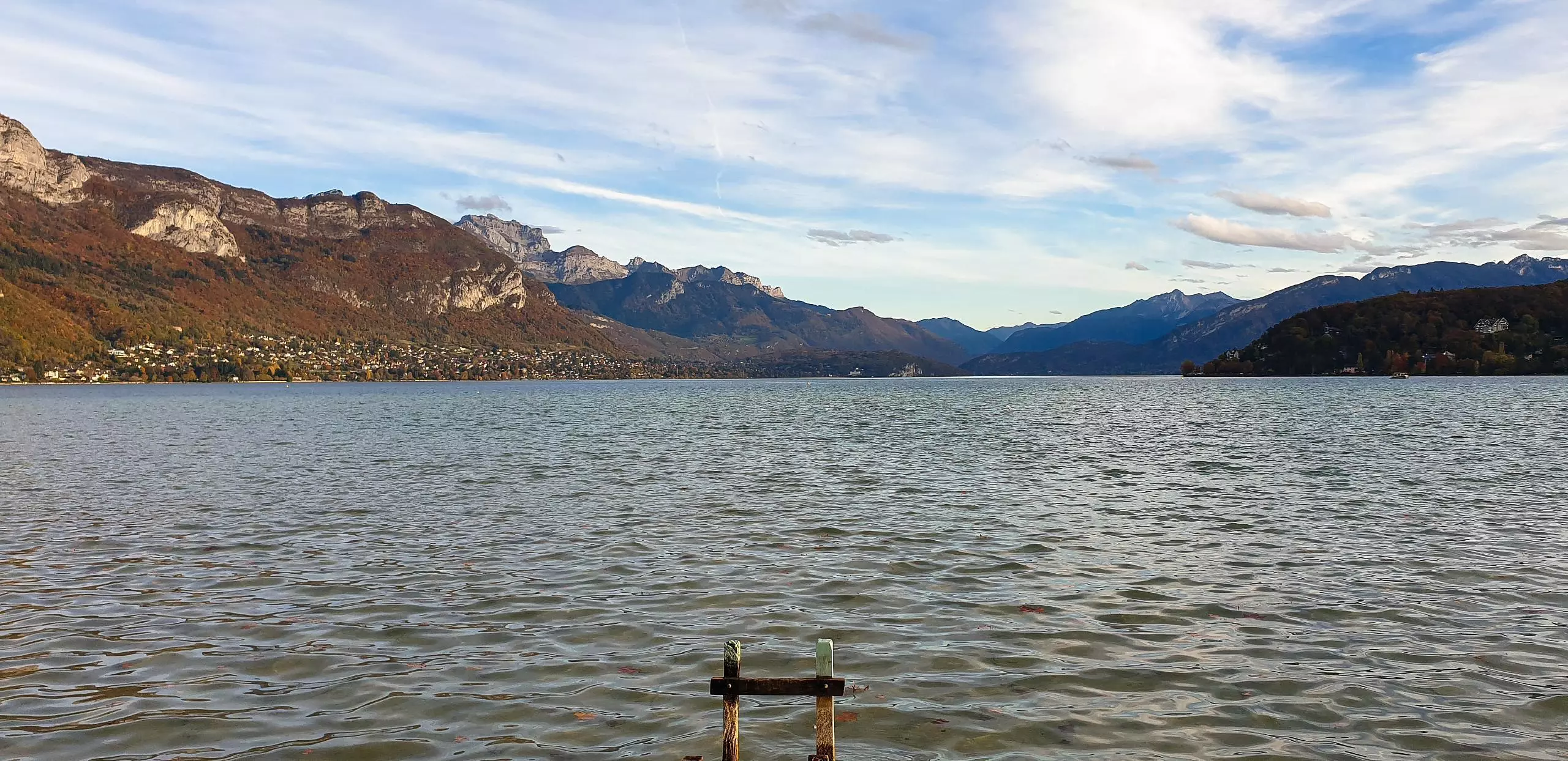
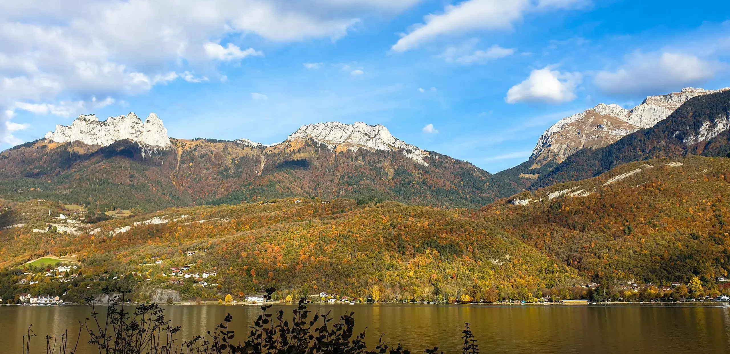
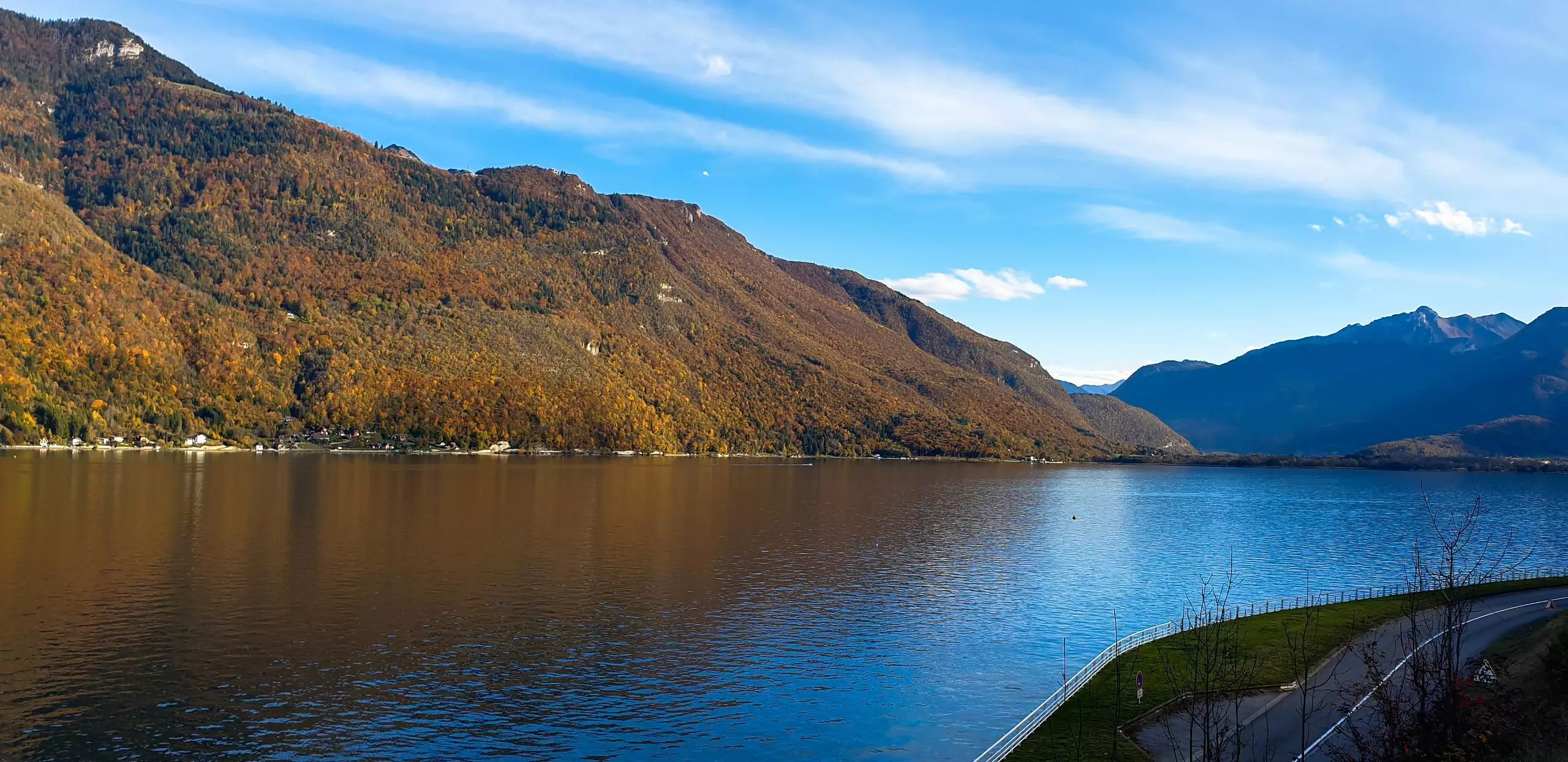
Cycling tour of Lake Annecy with autumn colors. Dedicated bike path on the whole western part of the lake. However, on the eastern part, a good part of the path is along the road. Work in progress to build a dedicated trail. Only one climb in the village of Talloires, a little steep, otherwise not an easy route with a beautiful view of the mountains and the lake.

(Description automatically translated)
Annecy

Route profile

187ft
Elevation +
217ft
Elevation -
1460ft
Min altitude
1604ft
Max altitude

How to get there

Route starting point: Rue Du Paquier, 74000 Annecy

GPS coordinates of the starting point: 45.90115, 6.12731 / 45°54'4'' N, 6°7'38'' E