Tour du Cirque de Gavarnie par la brèche de Roland

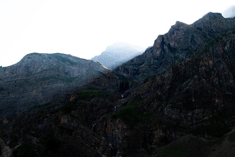
View of the waterfall at sunrise
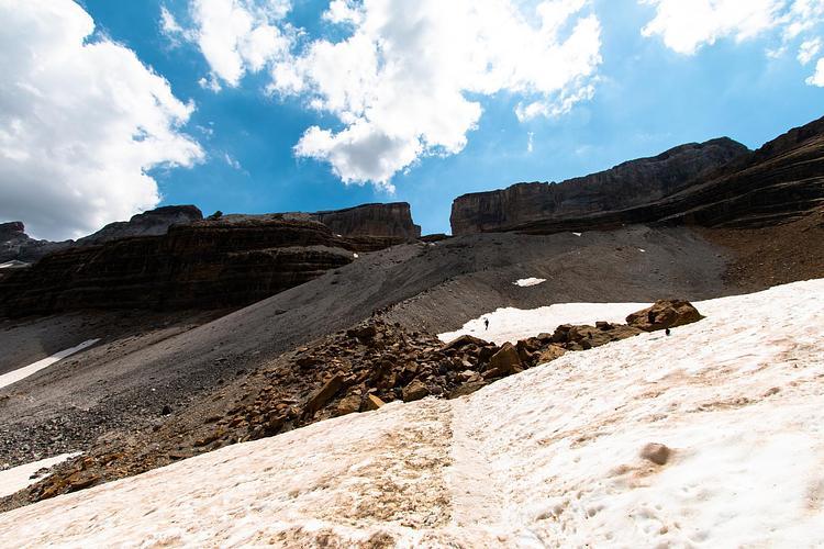
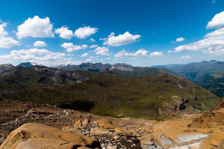
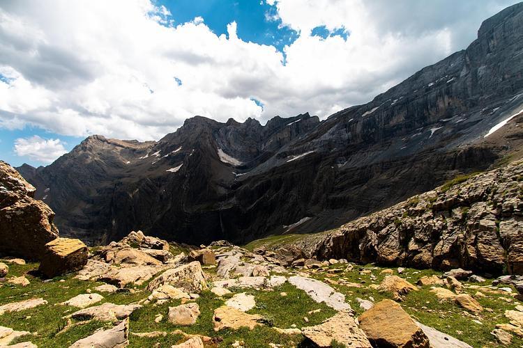
On top of the Cirque de Gavarnie
Brèche de Roland from the Sarradets refuge
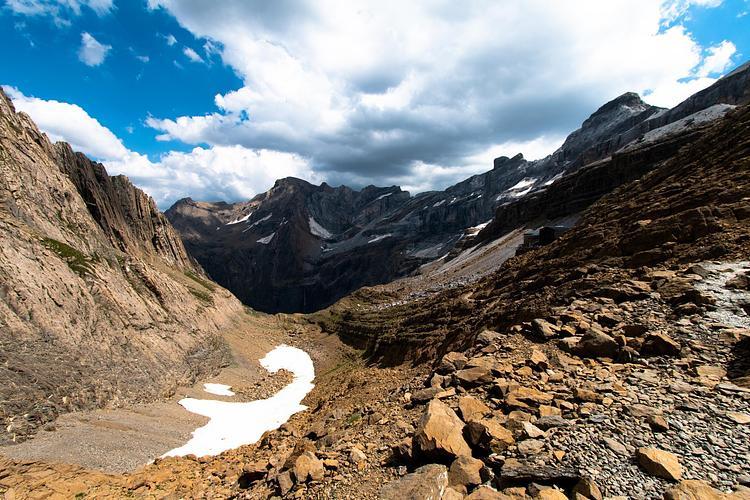
View of the cirque from the refuge
Descent on the other side of the cirque from the refuge
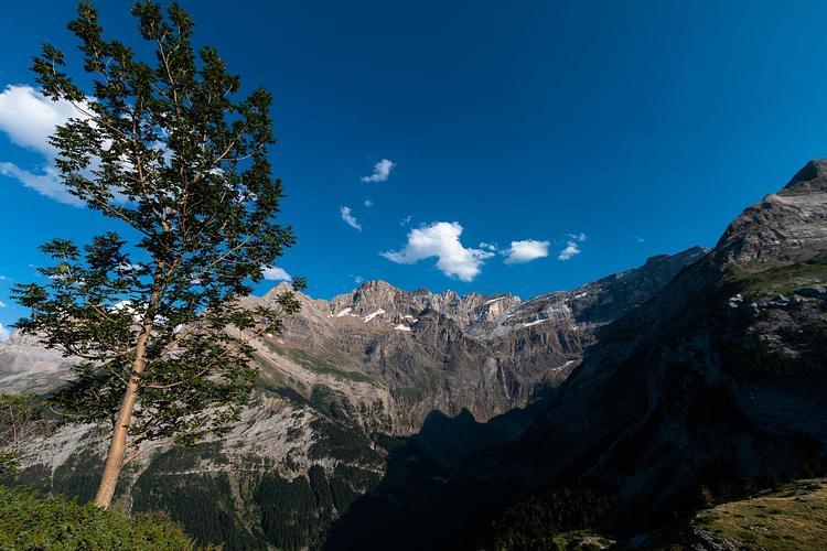
View of the circus from the upper path on the way back to the village

Route details

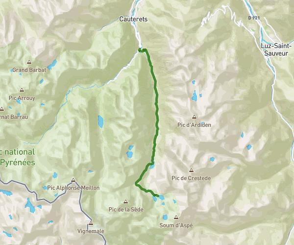
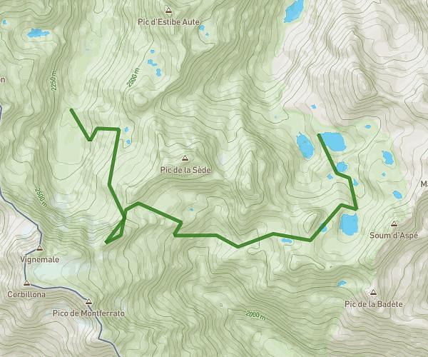
Explore this hiking route of 9.814mi starting from Gavarnie-Gèdre, Hautes-Pyrénées. The hike is a loop and returns to the starting point. This hike is rated as difficult, plan for about 10h45m to complete it. The route has a positive elevation gain of 3740ft and a negative elevation loss of 3783ft.

Description of the route by the creator

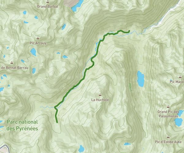
Departure from the parking of the village of Gavarnie. Follow the path towards the waterfall then turn right into the cirque to reach the Sarradets refuge. It is at the foot of the brèche de Roland. Continue the path to go down on the other side of the creek. Then follow the path to return to the village of Gavarnie.
(Description automatically translated)
Gavarnie

Route profile

3740ft
Elevation +
3783ft
Elevation -
4524ft
Min altitude
7887ft
Max altitude

How to get there

Route starting point: D 128, 65120 Gavarnie-Gèdre

GPS coordinates of the starting point: 42.7353, -0.01121 / 42°44'7'' N, 0°0'40'' W

Calculate the time to reach the starting point from your location or an address