MapPlanner
0.938mi
Distance
1h30m
Duration
Pace
Easy
Level

Visite du Château de Montségur

Montsegur from below
Village of Montsegur

Route details

Pace
368 kcal
Calories burned
Loop trail
Route type
3369ft
Min altitude
3763ft
Max altitude

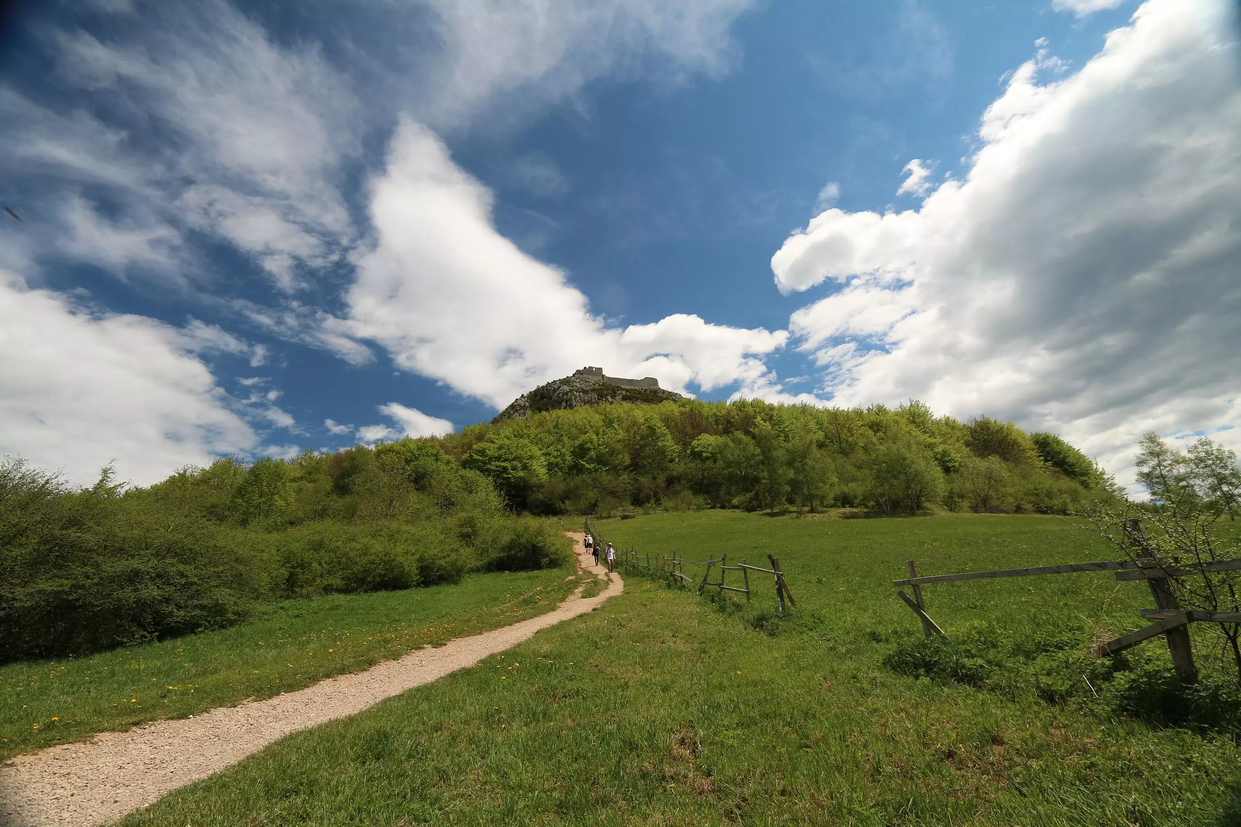
This walking route covers 0.938mi starting from Montségur, Ariège. The walk is a loop trail and returns to the trailhead. This walk is rated as easy, plan for about 1h30m to complete it. The route has an elevation gain of 384ft and an elevation loss of 394ft.

Description of the route by the creator

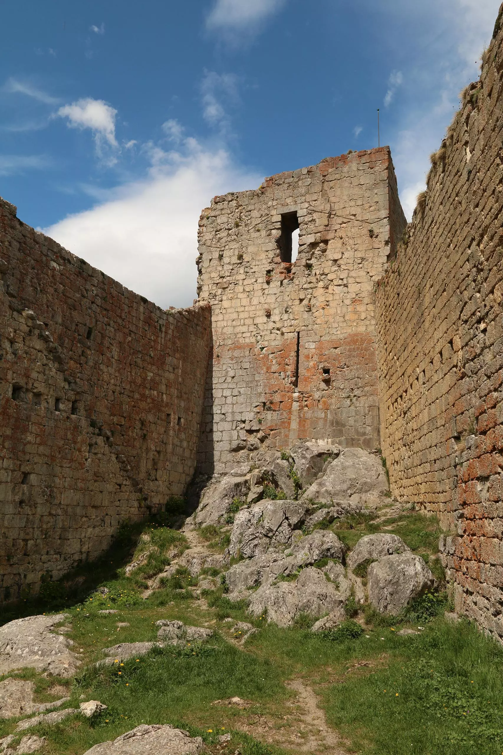
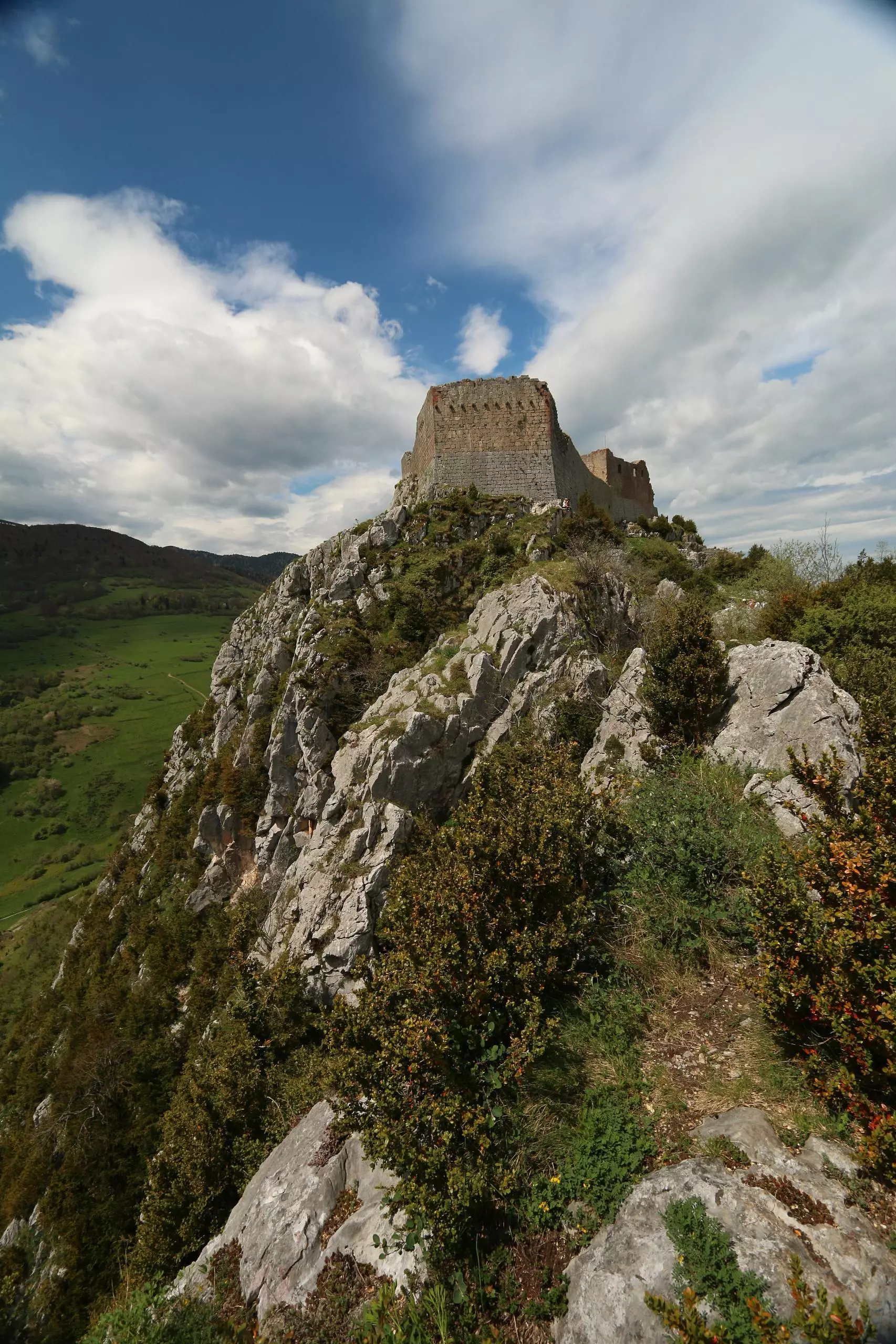
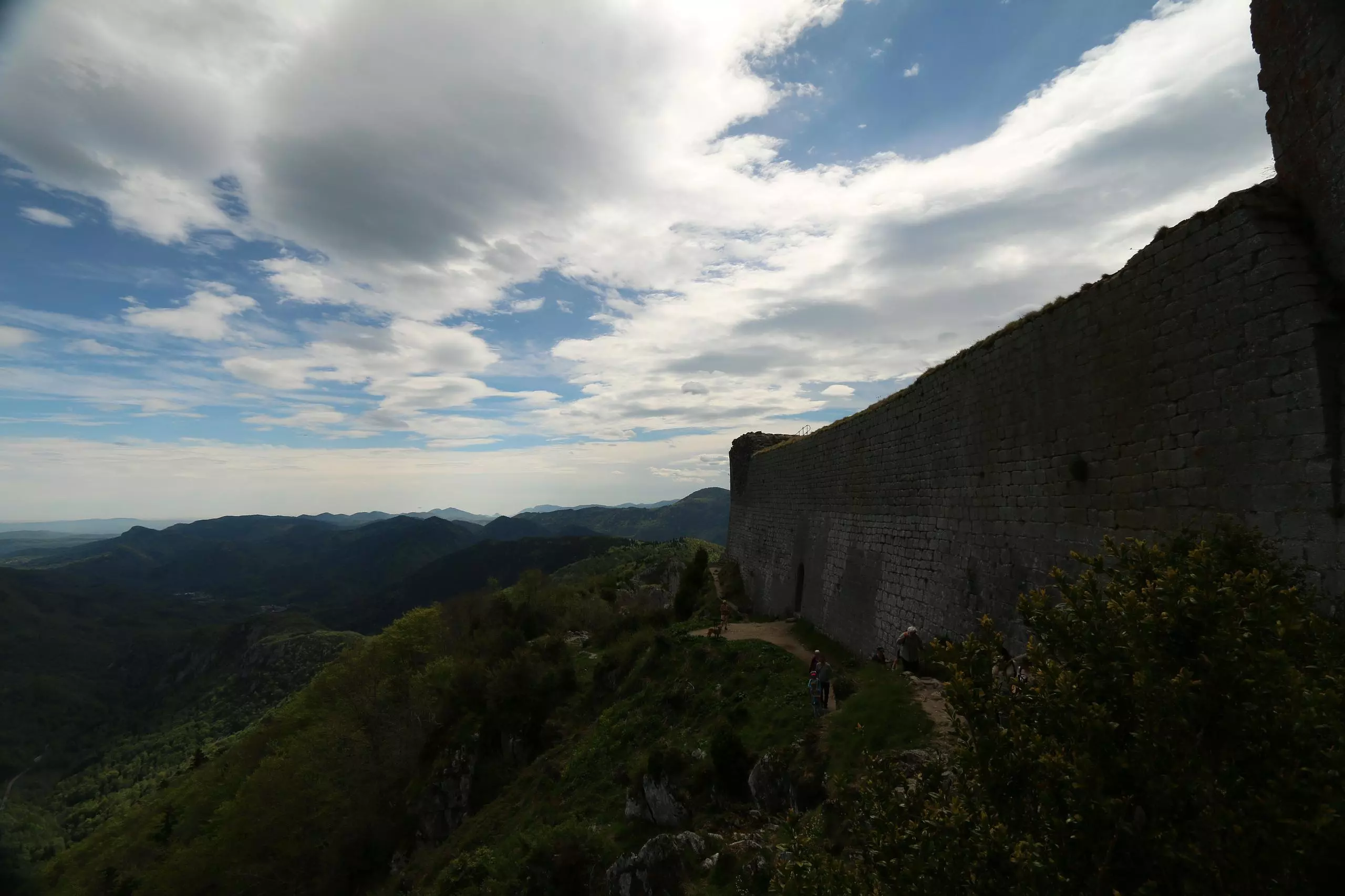
Castle of Montsegur: go and return from the parking on the road.

(Description automatically translated)

Route profile

384ft
Elevation gain
394ft
Elevation loss
3369ft
Min altitude
3763ft
Max altitude

How to get there

Trailhead: D 9, 09300 Montségur, France

GPS coordinates of the trailhead: 42.87426, 1.82743 / 42°52'27'' N, 1°49'38'' E

Caution: May Cross Private Property

This route may pass through or near private property. Always respect posted signs, obtain permission where required, and follow local trespassing laws. MapPlanner does not guarantee public access along any route.

Safety Notice

Trail and road conditions may change without notice due to weather, construction, or other factors. Always verify current conditions before heading out. You are responsible for your own safety — follow local signage, obey traffic laws, and use your best judgment on the trail.