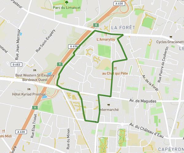
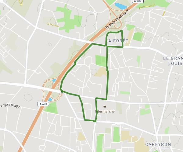
This running route covers 6.219mi starting from Le Bouscat, Gironde. The run is a loop trail and returns to the trailhead. This run is rated as moderate, expect about 50m to complete it. The route has an elevation gain of 23ft and an elevation loss of 33ft.
tour des parcs
Route details
7.46mph
Speed
572 kcal
Calories burned
Loop trail
Route type
30ft
Min altitude
62ft
Max altitude
Route profile
23ft
Elevation gain
33ft
Elevation loss
30ft
Min altitude
62ft
Max altitude
How to get there
Trailhead: 19 Avenue Léo Lagrange, 33110 Le Bouscat, France
GPS coordinates of the trailhead: 44.8622, -0.60405 / 44°51'43'' N, 0°36'14'' W