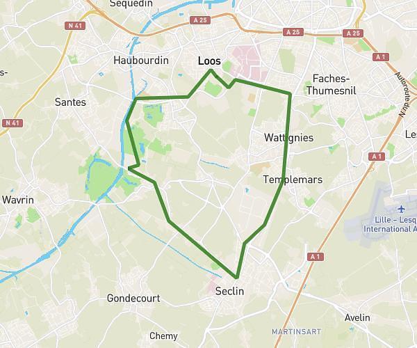
This running route covers 1.181mi starting from Villeneuve-d'Ascq, Nord. The run is a loop trail and returns to the trailhead. This run is rated as easy, expect about 18m to complete it. The route has an elevation gain of 7ft and an elevation loss of 10ft.
1.9km
Route details
3.94mph
Speed
206 kcal
Calories burned
Loop trail
Route type
105ft
Min altitude
112ft
Max altitude
Route profile
7ft
Elevation gain
10ft
Elevation loss
105ft
Min altitude
112ft
Max altitude
How to get there
Trailhead: 23 Rue Matisse, 59493 Villeneuve-d'Ascq, France
GPS coordinates of the trailhead: 50.61994, 3.1524 / 50°37'11'' N, 3°9'8'' E