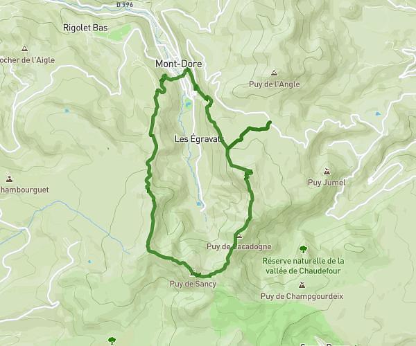
This hiking trail covers 9.188mi starting from Aydat, Puy-de-Dôme. The hike does not return to the trailhead and ends near D 68, 63870 Orcines, France. This hike is rated as moderate, plan for about 4h19m to complete it. The route has an elevation gain of 873ft and an elevation loss of 686ft.
Aydat-Puy-de-Dôme
Route details
2.13mph
Speed
1867 kcal
Calories burned
3.2%
Avg grade
Point to point
Route type
2772ft
Min altitude
3268ft
Max altitude
Route profile
873ft
Elevation gain
686ft
Elevation loss
2772ft
Min altitude
3268ft
Max altitude
How to get there
Trailhead: 6 Boulevard Du Lac, 63970 Aydat, France
GPS coordinates of the trailhead: 45.66674, 2.98322 / 45°40'0'' N, 2°58'59'' E