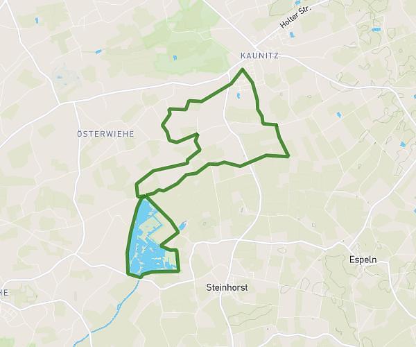
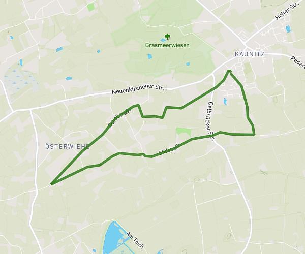
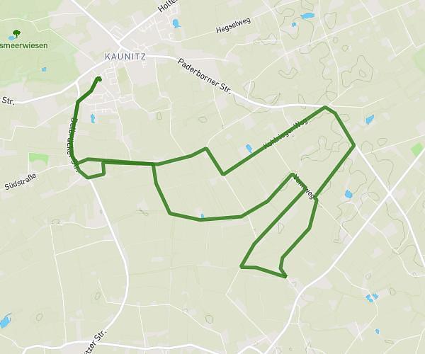
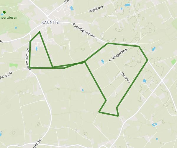
This running route covers 13.222mi starting from Bielefeld, North Rhine-Westphalia. The run is a loop trail and returns to the trailhead. This run is rated as strenuous, expect about 2h8m to complete it. The route has an elevation gain of 141ft and an elevation loss of 121ft.
70.3
Route details
6.2mph
Speed
1463 kcal
Calories burned
Loop trail
Route type
279ft
Min altitude
420ft
Max altitude
Route profile
141ft
Elevation gain
121ft
Elevation loss
279ft
Min altitude
420ft
Max altitude
How to get there
Trailhead: Goldbach 4, 33615 Bielefeld, Germany
GPS coordinates of the trailhead: 52.02409, 8.52438 / 52°1'26'' N, 8°31'27'' E