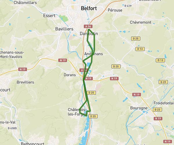
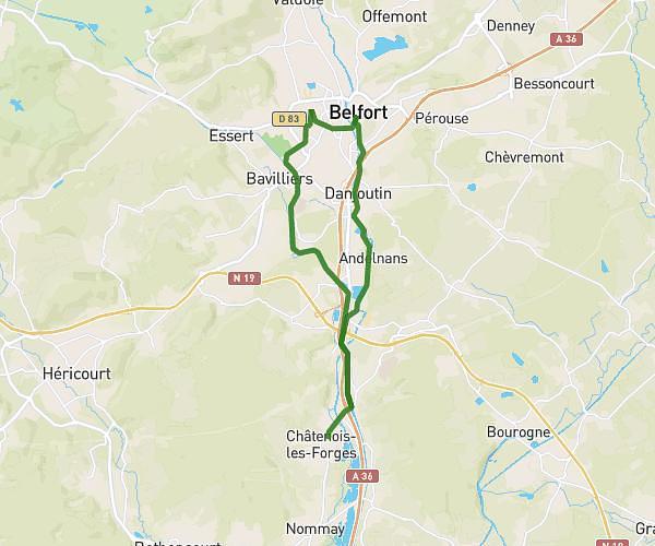
This running route covers 5.889mi starting from Belfort, Territoire de Belfort. The run is a loop trail and returns to the trailhead. This run is rated as moderate, expect about 1h3m to complete it. The route has an elevation gain of 535ft and an elevation loss of 535ft.
Trail
Route details
5.61mph
Speed
720 kcal
Calories burned
Loop trail
Route type
1165ft
Min altitude
1450ft
Max altitude
Route profile
535ft
Elevation gain
535ft
Elevation loss
1165ft
Min altitude
1450ft
Max altitude
How to get there
Trailhead: 64 Avenue Jean Moulin, 90000 Belfort, France
GPS coordinates of the trailhead: 47.651478, 6.862351 / 47°39'5'' N, 6°51'44'' E