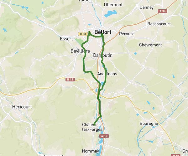
This running route covers 12.446mi starting from Belfort, Territoire de Belfort. The run is a loop trail and returns to the trailhead. This run is rated as strenuous, expect about 2h14m to complete it. The route has an elevation gain of 1122ft and an elevation loss of 1122ft.
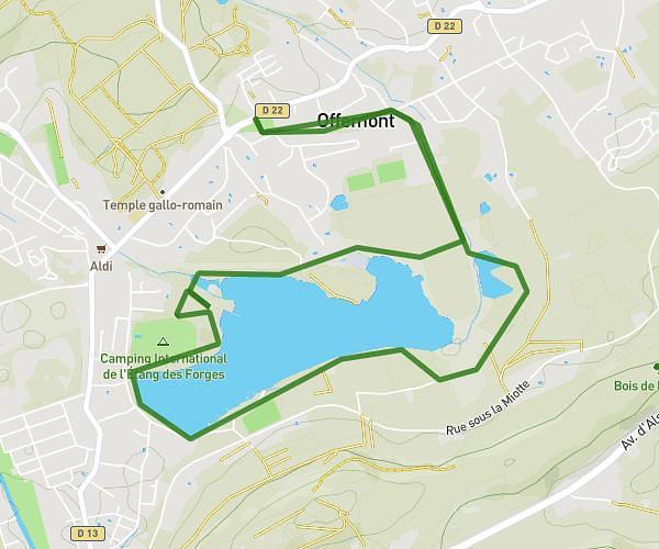
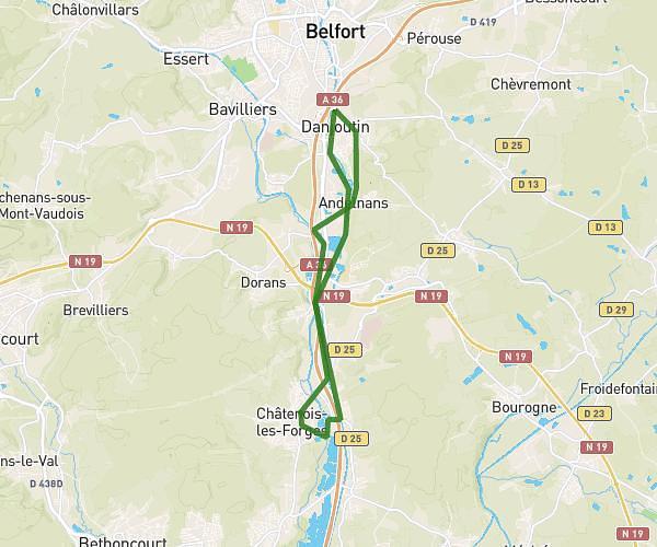
Sortie longue 20 km - 350 D+
Route details
5.57mph
Speed
1532 kcal
Calories burned
Loop trail
Route type
1161ft
Min altitude
1467ft
Max altitude
Route profile
1122ft
Elevation gain
1122ft
Elevation loss
1161ft
Min altitude
1467ft
Max altitude
How to get there
Trailhead: 1 Rue De L'est, 90000 Belfort, France
GPS coordinates of the trailhead: 47.650509, 6.856621 / 47°39'1'' N, 6°51'23'' E