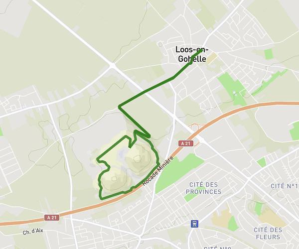
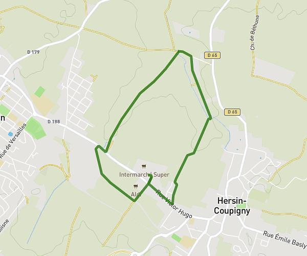
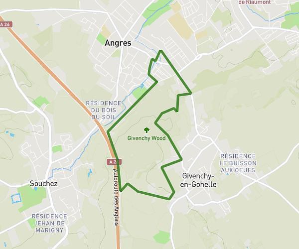
This running route covers 10.693mi starting from Auchel, Pas-de-Calais. The run is a loop trail and returns to the trailhead. This run is rated as hard, expect about 1h55m to complete it. The route has an elevation gain of 85ft and an elevation loss of 151ft.
22102025
Route details
5.58mph
Speed
1315 kcal
Calories burned
Loop trail
Route type
210ft
Min altitude
348ft
Max altitude
Route profile
85ft
Elevation gain
151ft
Elevation loss
210ft
Min altitude
348ft
Max altitude
How to get there
Trailhead: 42 Rue Pierre Curie, 62260 Auchel, France
GPS coordinates of the trailhead: 50.500235, 2.469496 / 50°30'0'' N, 2°28'10'' E