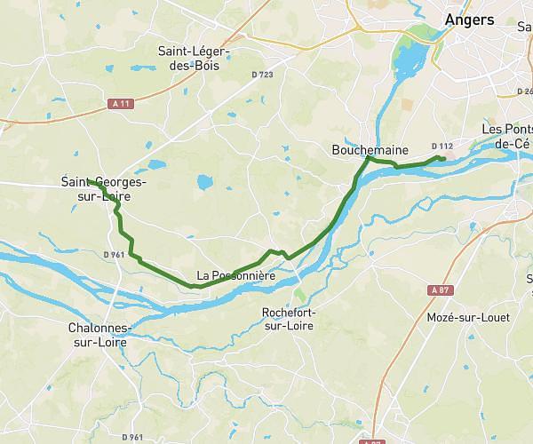
This running route covers 4.32mi starting from Mauges-sur-Loire, Maine-et-Loire. The run does not return to the trailhead and ends near 179 Rue Du Seil, 49410 Mauges-sur-Loire, France. This run is rated as easy, expect about 1h5s to complete it. The route has an elevation gain of 223ft and an elevation loss of 217ft.
Le marillais
Route details
4.31mph
Speed
687 kcal
Calories burned
Point to point
Route type
23ft
Min altitude
92ft
Max altitude
Route profile
223ft
Elevation gain
217ft
Elevation loss
23ft
Min altitude
92ft
Max altitude
How to get there
Trailhead: 80 Le Trou Heurteau, 49410 Mauges-sur-Loire, France
GPS coordinates of the trailhead: 47.362995, -1.076358 / 47°21'46'' N, 1°4'34'' W