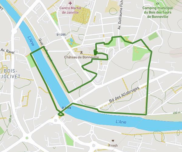
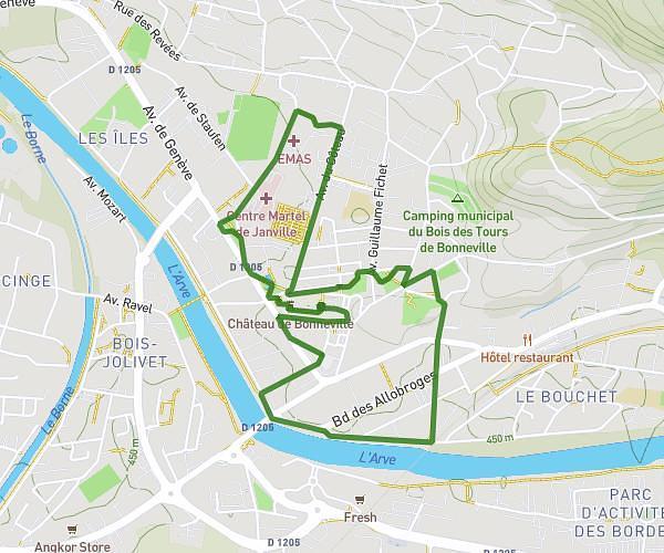
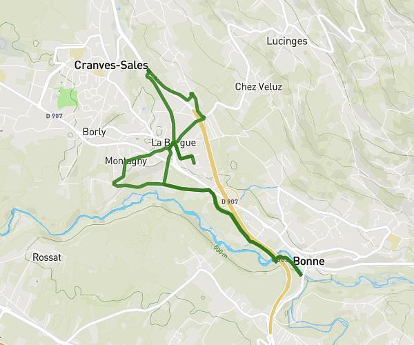
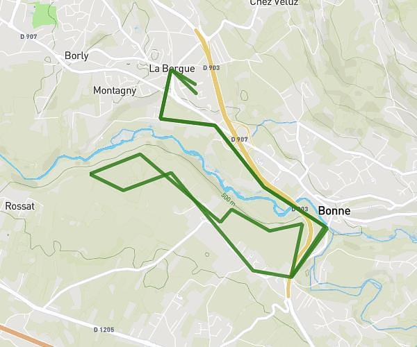
This running route covers 6.217mi starting from Cluses, Haute-Savoie. The run is a loop trail and returns to the trailhead. This run is rated as moderate, expect about 1h15m to complete it. The route has an elevation gain of 774ft and an elevation loss of 761ft.
10 km Cluses
Route details
4.97mph
Speed
858 kcal
Calories burned
Loop trail
Route type
1575ft
Min altitude
1752ft
Max altitude
Route profile
774ft
Elevation gain
761ft
Elevation loss
1575ft
Min altitude
1752ft
Max altitude
How to get there
Trailhead: 4 Avenue De La Libération, 74300 Cluses, France
GPS coordinates of the trailhead: 46.06, 6.57541 / 46°3'36'' N, 6°34'31'' E