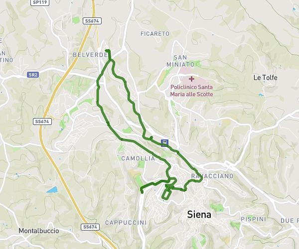
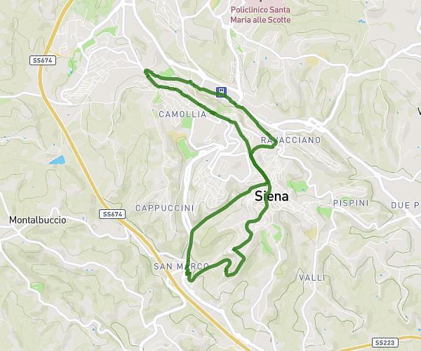
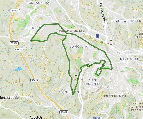
This walking route covers 9.469mi starting from Siena, Siena. The walk is a loop trail and returns to the trailhead. This walk is rated as strenuous, plan for about 3h23m to complete it. The route has an elevation gain of 984ft and an elevation loss of 991ft.
giro delle tolfe
Route details
21:27/mi
Pace
829 kcal
Calories burned
Loop trail
Route type
912ft
Min altitude
1240ft
Max altitude
Route profile
984ft
Elevation gain
991ft
Elevation loss
912ft
Min altitude
1240ft
Max altitude
How to get there
Trailhead: Via Bruno Tanganelli 3, 53100 Siena Siena, Italy
GPS coordinates of the trailhead: 43.33303, 11.31595 / 43°19'58'' N, 11°18'57'' E