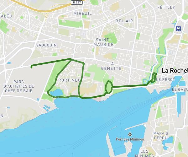
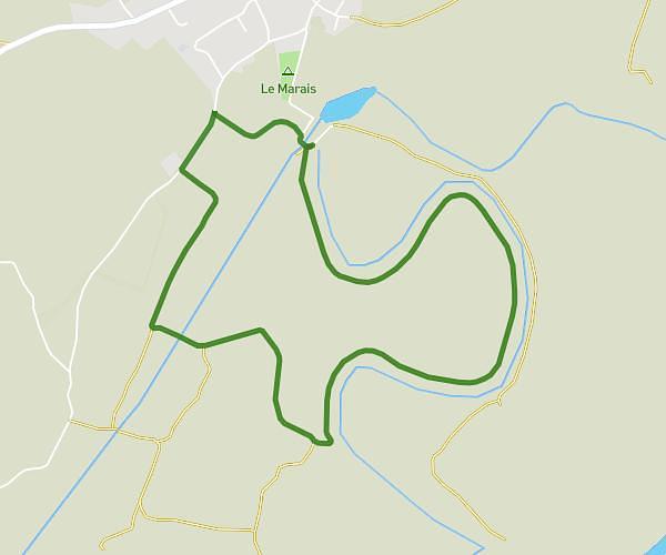
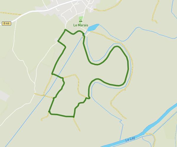
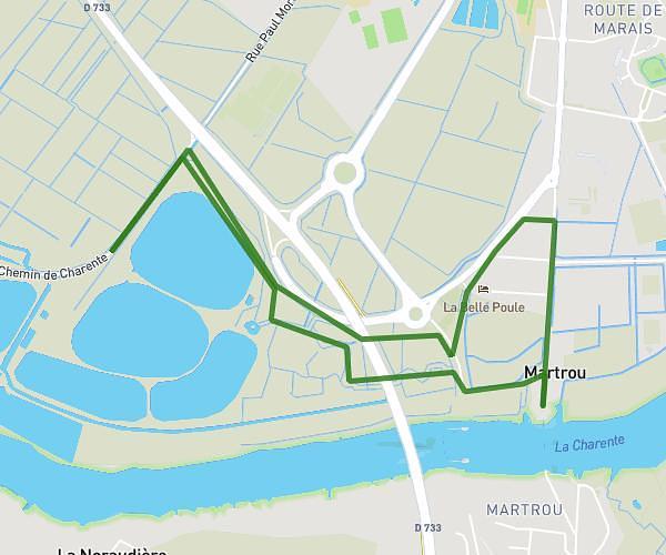
This walking route covers 5.383mi starting from Ars-en-Ré, Charente-Maritime. The walk does not return to the trailhead and ends near 32 Route Du Grouin, 17111 Loix, France. This walk is rated as moderate, plan for about 1h56m to complete it. The route has an elevation gain of 171ft and an elevation loss of 171ft.
Pélerins Ile de Ré
Route details
21:33/mi
Pace
474 kcal
Calories burned
Point to point
Route type
-3ft
Min altitude
23ft
Max altitude
Route profile
171ft
Elevation gain
171ft
Elevation loss
-3ft
Min altitude
23ft
Max altitude
How to get there
Trailhead: Route D'ars, 17590 Ars-en-Ré, France
GPS coordinates of the trailhead: 46.19688, -1.493918 / 46°11'48'' N, 1°29'38'' W