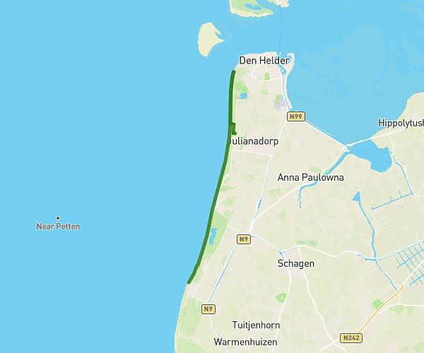
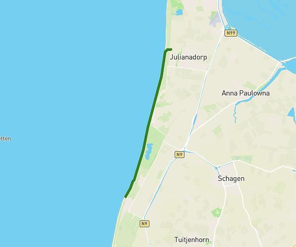
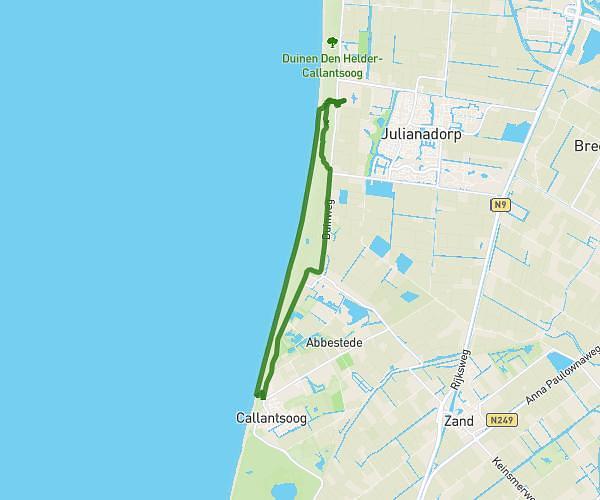
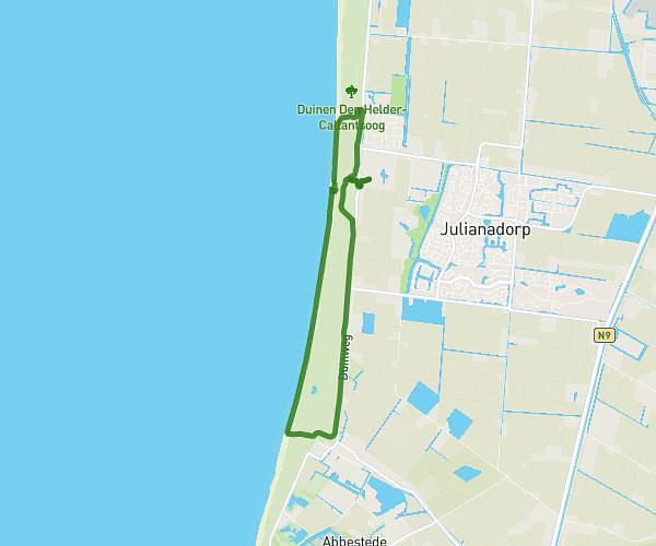
This running route covers 4.811mi starting from Julianadorp, North Holland. The run is a loop trail and returns to the trailhead. This run is rated as easy, expect about 1h4m to complete it. The route has an elevation gain of 177ft and an elevation loss of 177ft.
Julianadoorp Golfplatz
Route details
4.51mph
Speed
732 kcal
Calories burned
Loop trail
Route type
-3ft
Min altitude
52ft
Max altitude
Route profile
177ft
Elevation gain
177ft
Elevation loss
-3ft
Min altitude
52ft
Max altitude
How to get there
Trailhead: Zanddijk 235, 1787 PP Julianadorp, Netherlands
GPS coordinates of the trailhead: 52.897053, 4.720128 / 52°53'49'' N, 4°43'12'' E