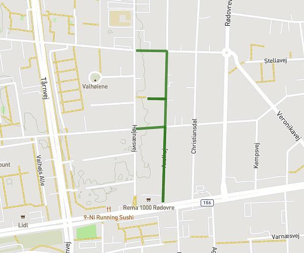
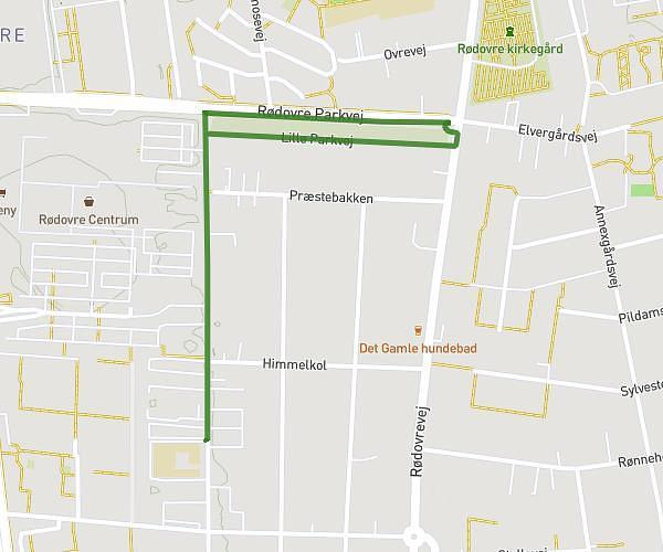
This walking route covers 0.613mi starting from Rødovre, Capital Region of Denmark. The walk does not return to the trailhead and ends near Valhøjs Alle 40, 2610 Rødovre, Denmark. This walk is rated as easy, plan for about 13m to complete it. The route has an elevation gain of 36ft and an elevation loss of 33ft.
Rute 5
Route details
21:11/mi
Pace
53 kcal
Calories burned
Point to point
Route type
62ft
Min altitude
79ft
Max altitude
Route profile
36ft
Elevation gain
33ft
Elevation loss
62ft
Min altitude
79ft
Max altitude
How to get there
Trailhead: Højnæsvej 45, 2610 Rødovre, Denmark
GPS coordinates of the trailhead: 55.67553, 12.45941 / 55°40'31'' N, 12°27'33'' E