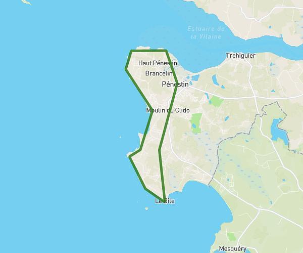
This running route covers 9.637mi starting from Saint-Gildas-de-Rhuys, Morbihan. The run is a loop trail and returns to the trailhead. This run is rated as hard, expect about 1h33m to complete it. The route has an elevation gain of 781ft and an elevation loss of 784ft.
Pierre jaune
Route details
6.21mph
Speed
1064 kcal
Calories burned
Loop trail
Route type
0ft
Min altitude
135ft
Max altitude
Route profile
781ft
Elevation gain
784ft
Elevation loss
0ft
Min altitude
135ft
Max altitude
How to get there
Trailhead: 41 Chemin Du Goh Vras, 56730 Saint-Gildas-de-Rhuys, France
GPS coordinates of the trailhead: 47.511641, -2.845768 / 47°30'41'' N, 2°50'44'' W