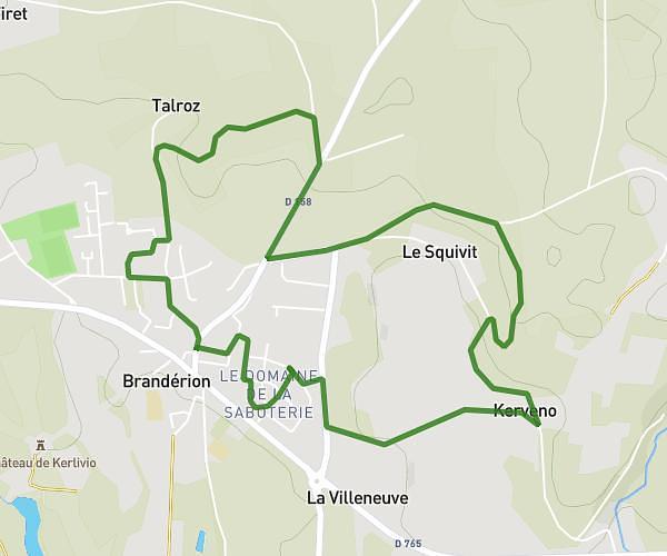
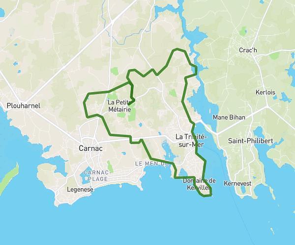
This running route covers 13.698mi starting from Le Bono, Morbihan. The run is a loop trail and returns to the trailhead. This run is rated as strenuous, expect about 2h27m to complete it. The route has an elevation gain of 1594ft and an elevation loss of 1594ft.
Tumulus Le Bono
Route details
5.59mph
Speed
1681 kcal
Calories burned
Loop trail
Route type
0ft
Min altitude
125ft
Max altitude
Route profile
1594ft
Elevation gain
1594ft
Elevation loss
0ft
Min altitude
125ft
Max altitude
How to get there
Trailhead: 2 Loqueltas, 56400 Le Bono, France
GPS coordinates of the trailhead: 47.627555, -2.957242 / 47°37'39'' N, 2°57'26'' W