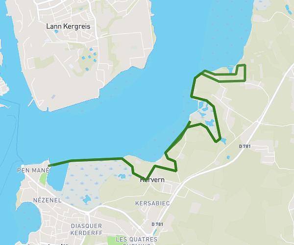
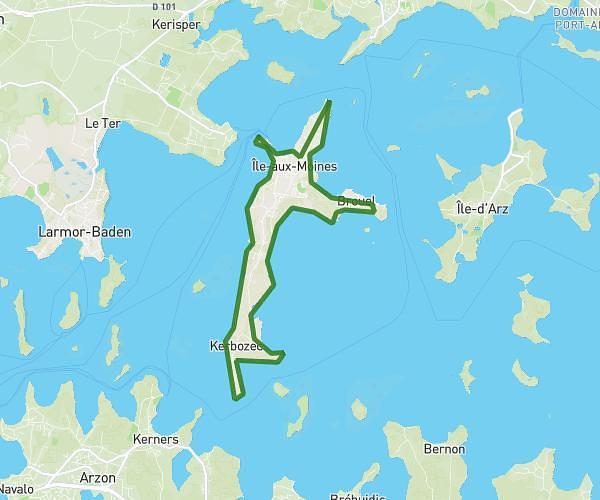
This running route covers 5.017mi starting from Belz, Morbihan. The run is a loop trail and returns to the trailhead. This run is rated as moderate, expect about 54m to complete it. The route has an elevation gain of 240ft and an elevation loss of 230ft.
Bignac
Route details
5.57mph
Speed
617 kcal
Calories burned
Loop trail
Route type
0ft
Min altitude
52ft
Max altitude
Route profile
240ft
Elevation gain
230ft
Elevation loss
0ft
Min altitude
52ft
Max altitude
How to get there
Trailhead: 9 Rue Du Suroît, 56550 Belz, France
GPS coordinates of the trailhead: 47.673723, -3.176016 / 47°40'25'' N, 3°10'33'' W