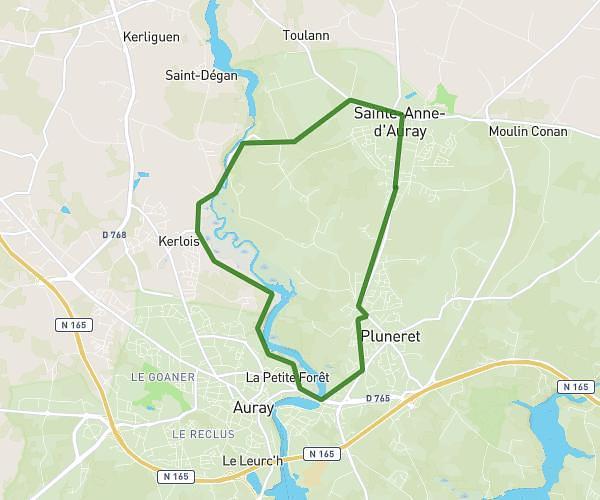
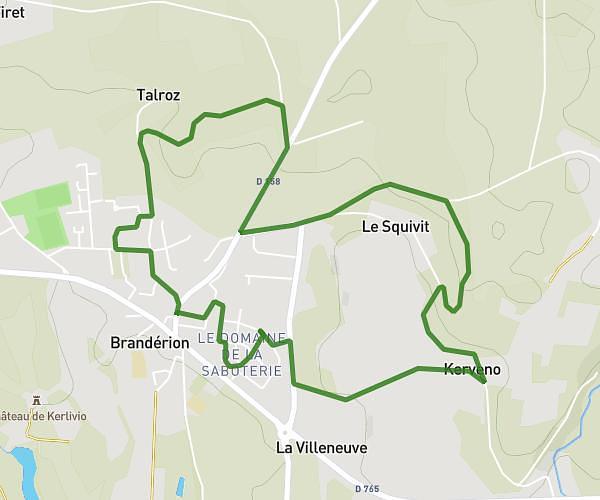
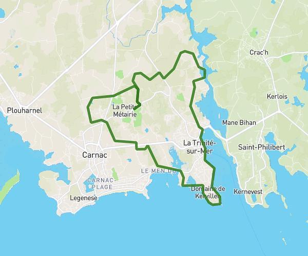
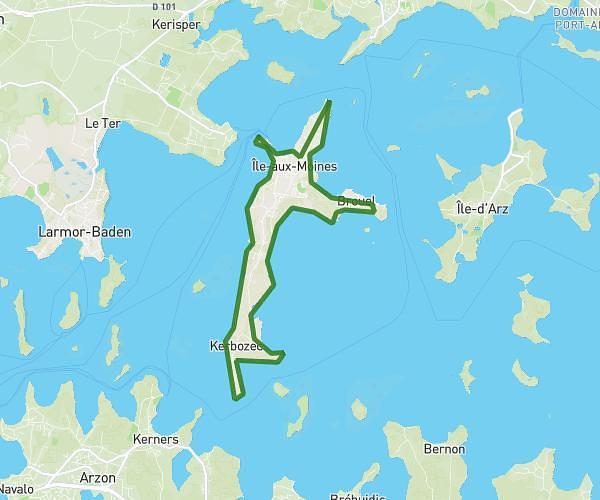
This running route covers 7.199mi starting from Locmiquélic, Morbihan. The run is a loop trail and returns to the trailhead. This run is rated as moderate, expect about 1h18m to complete it. The route has an elevation gain of 643ft and an elevation loss of 659ft.
Penn Mane +
Route details
5.54mph
Speed
892 kcal
Calories burned
Loop trail
Route type
-3ft
Min altitude
69ft
Max altitude
Route profile
643ft
Elevation gain
659ft
Elevation loss
-3ft
Min altitude
69ft
Max altitude
How to get there
Trailhead: Slip Pen-Mané-Bihan, 56570 Locmiquélic, France
GPS coordinates of the trailhead: 47.734521, -3.342611 / 47°44'4'' N, 3°20'33'' W