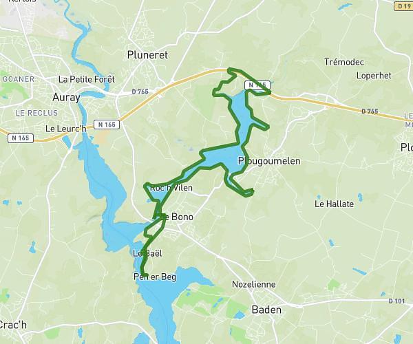
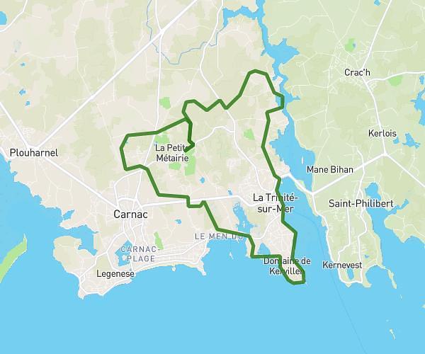
This running route covers 11.323mi starting from Île-aux-Moines, Morbihan. The run is a loop trail and returns to the trailhead. This run is rated as strenuous, expect about 1h31m to complete it. The route has an elevation gain of 10ft and an elevation loss of 10ft.
TOUR DE L’ÎLE AUX MOINES
Route details
7.46mph
Speed
1042 kcal
Calories burned
Loop trail
Route type
13ft
Min altitude
23ft
Max altitude
Route profile
10ft
Elevation gain
10ft
Elevation loss
13ft
Min altitude
23ft
Max altitude
How to get there
Trailhead: Rue Benoni Praud, Île-aux-Moines, France
GPS coordinates of the trailhead: 47.60141, -2.85409 / 47°36'5'' N, 2°51'14'' W