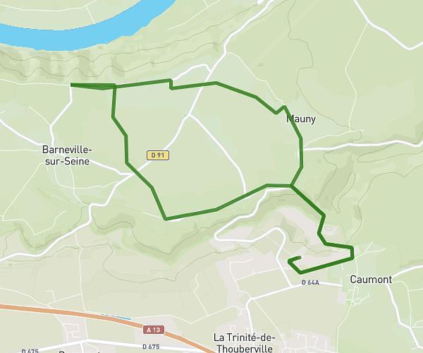
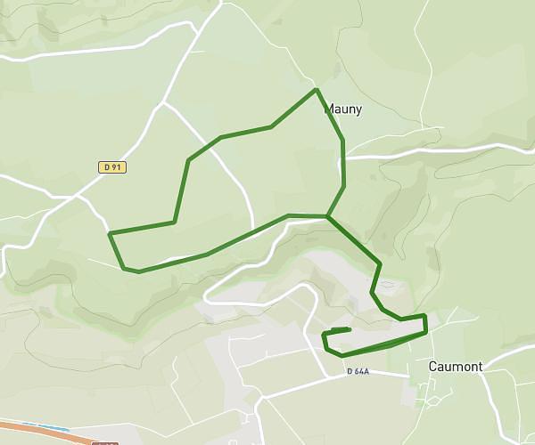
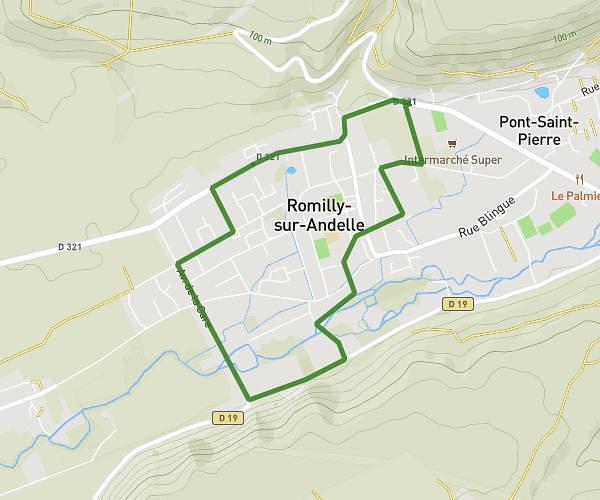
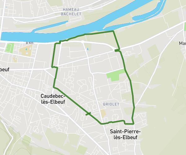
This running route covers 6.176mi starting from Romilly-sur-Andelle, Eure. The run is a loop trail and returns to the trailhead. This run is rated as moderate, expect about 1h6m to complete it. The route has an elevation gain of 292ft and an elevation loss of 292ft.
10k dans romilly
Route details
5.62mph
Speed
755 kcal
Calories burned
Loop trail
Route type
26ft
Min altitude
105ft
Max altitude
Route profile
292ft
Elevation gain
292ft
Elevation loss
26ft
Min altitude
105ft
Max altitude
How to get there
Trailhead: 674 Rue De La Libération, 27610 Romilly-sur-Andelle, France
GPS coordinates of the trailhead: 49.33377, 1.253497 / 49°20'1'' N, 1°15'12'' E