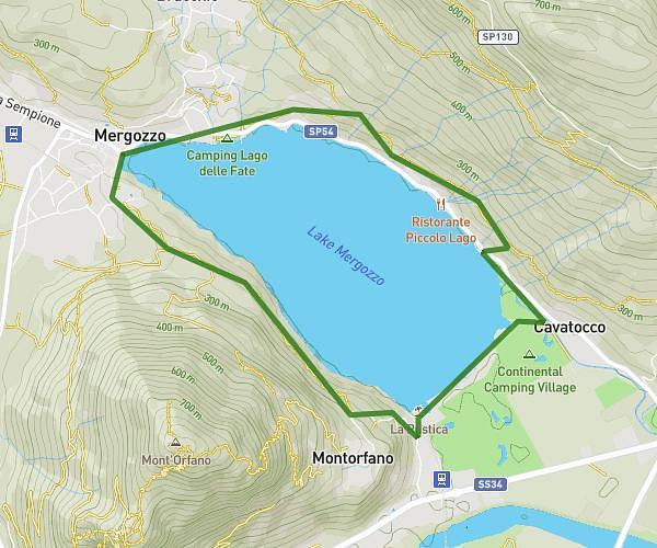
This walking route covers 2.927mi starting from Ghiffa, Verbano-Cusio-Ossola. The walk is a loop trail and returns to the trailhead. This walk is rated as easy, plan for about 50m to complete it. The route has an elevation gain of 761ft and an elevation loss of 761ft.
Ceredo-Trinitá-Ceredo
Route details
17:05/mi
Pace
204 kcal
Calories burned
Loop trail
Route type
1132ft
Min altitude
1529ft
Max altitude
Route profile
761ft
Elevation gain
761ft
Elevation loss
1132ft
Min altitude
1529ft
Max altitude
How to get there
Trailhead: Via Cesare Battisti 30m, 28823 Ghiffa Verbano-Cusio-Ossola, Italy
GPS coordinates of the trailhead: 45.95329, 8.59963 / 45°57'11'' N, 8°35'58'' E