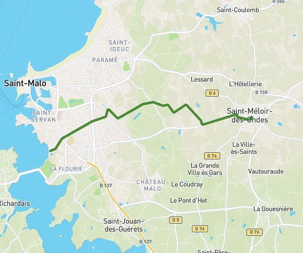
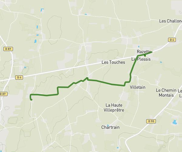
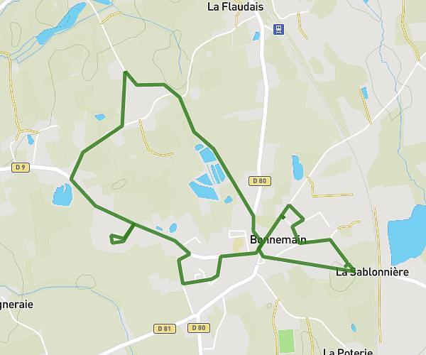
This running route covers 5.866mi starting from Saint-Suliac, Ille-et-Vilaine. The run does not return to the trailhead and ends near Route De Champvard, 35430 Saint-Suliac, France. This run is rated as moderate, expect about 57m to complete it. The route has an elevation gain of 522ft and an elevation loss of 522ft.
st suliac
Route details
6.18mph
Speed
652 kcal
Calories burned
Point to point
Route type
30ft
Min altitude
223ft
Max altitude
Route profile
522ft
Elevation gain
522ft
Elevation loss
30ft
Min altitude
223ft
Max altitude
How to get there
Trailhead: 3 Quai De La Rance, 35430 Saint-Suliac, France
GPS coordinates of the trailhead: 48.56955, -1.97493 / 48°34'10'' N, 1°58'29'' W