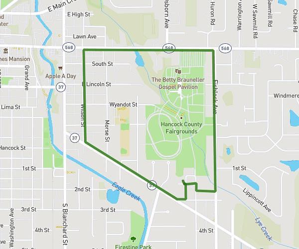
This running route covers 3.102mi starting from Blacklick, Ohio. The run is a loop trail and returns to the trailhead. This run is rated as easy, expect about 20m41s to complete it. The route has an elevation gain of 125ft and an elevation loss of 125ft.
hom
Route details
9.0mph
Speed
236 kcal
Calories burned
Loop trail
Route type
1060ft
Min altitude
1076ft
Max altitude
Route profile
125ft
Elevation gain
125ft
Elevation loss
1060ft
Min altitude
1076ft
Max altitude
How to get there
Trailhead: 9014 Masterson Drive, Blacklick, Ohio 43004, United States
GPS coordinates of the trailhead: 40.048417, -82.775007 / 40°2'54'' N, 82°46'30'' W