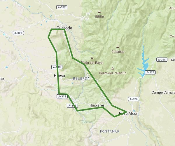
This hiking trail covers 44.272mi starting from Santo Tomé, Jaén. The hike does not return to the trailhead and ends near Carretera De Rihornos A Segura De La Sierra 2, 23293 Segura de la Sierra, Jaén, Spain. This hike is rated as strenuous, plan for about 5h56m to complete it. The route has an elevation gain of 8953ft and an elevation loss of 10115ft.
Corredor 1
Route details
7.46mph
Speed
2653 kcal
Calories burned
8.2%
Avg grade
Point to point
Route type
1759ft
Min altitude
4564ft
Max altitude
Steep climb
Route profile
8953ft
Elevation gain
10115ft
Elevation loss
1759ft
Min altitude
4564ft
Max altitude
How to get there
Trailhead: Jh-7155, 23311 Santo Tomé, Jaén, Spain
GPS coordinates of the trailhead: 38.02576, -2.98931 / 38°1'32'' N, 2°59'21'' W