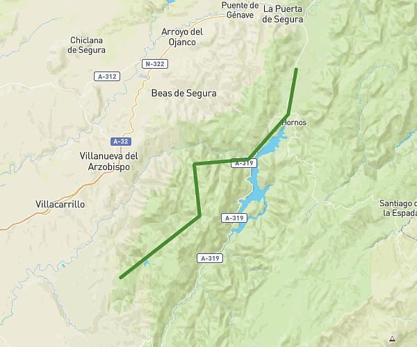
This hiking trail covers 40.049mi starting from Quesada, Jaén. The hike is a loop trail and returns to the trailhead. This hike is rated as strenuous, plan for about 2h34m to complete it. The route has an elevation gain of 6811ft and an elevation loss of 6808ft.
Circular 4
Route details
15.53mph
Speed
1141 kcal
Calories burned
6.4%
Avg grade
Loop trail
Route type
1503ft
Min altitude
3825ft
Max altitude
Route profile
6811ft
Elevation gain
6808ft
Elevation loss
1503ft
Min altitude
3825ft
Max altitude
How to get there
Trailhead: Carretera De Pozo Alcón, 23489 Quesada, Jaén, Spain
GPS coordinates of the trailhead: 37.84073, -3.06701 / 37°50'26'' N, 3°4'1'' W