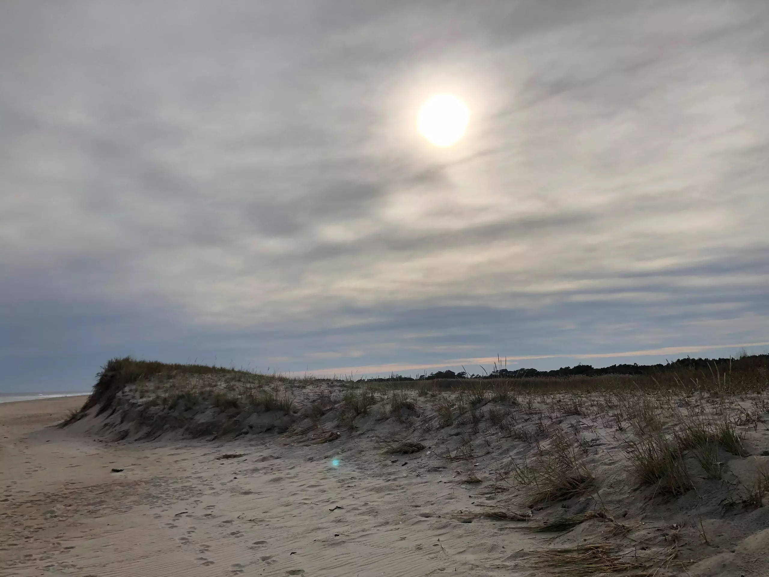
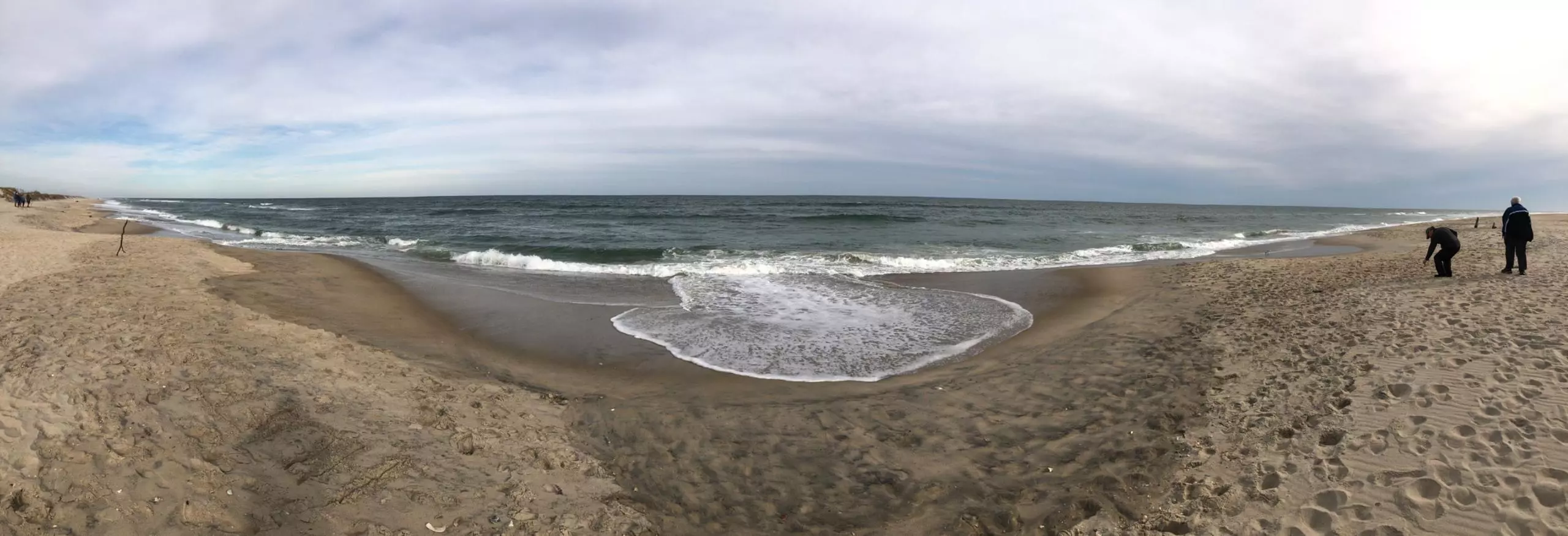
This cycling route covers 9.532mi starting from Chincoteague Island, Virginia. The ride is a loop trail and returns to the trailhead. This route is rated as easy, plan for about 2h to complete it. The route has an elevation gain of 75ft and an elevation loss of 62ft.
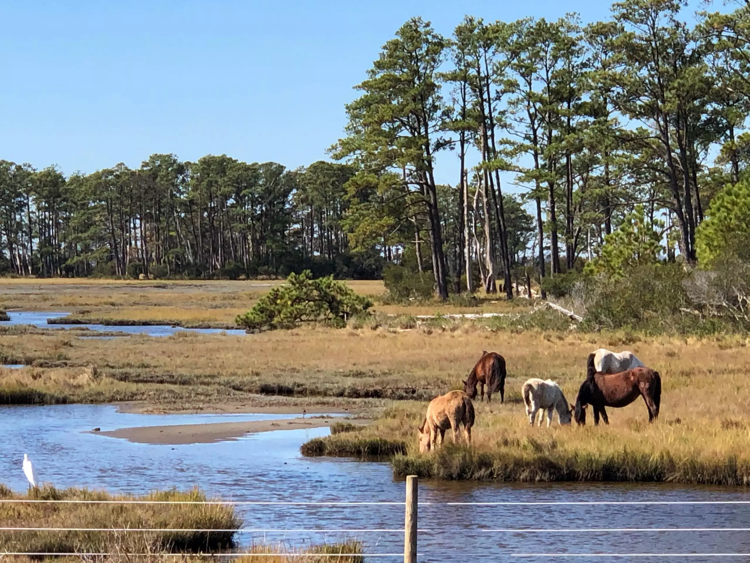
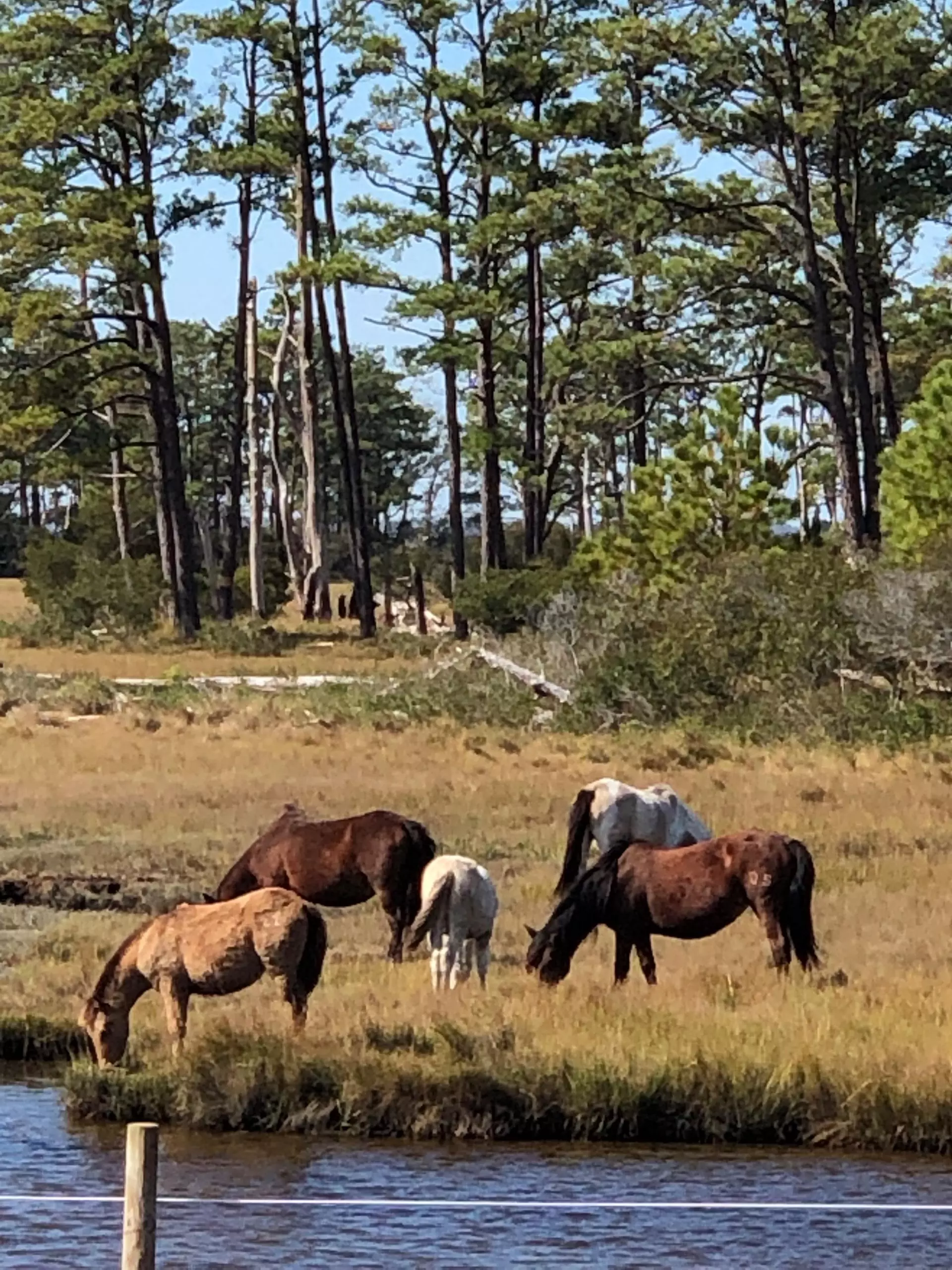
Chincoteague National Wildlife Refuge
Route details
1052 kcal
Calories burned
0.3%
Avg grade
Loop trail
Route type
0ft
Min altitude
49ft
Max altitude
Route profile
75ft
Elevation gain
62ft
Elevation loss
0ft
Min altitude
49ft
Max altitude
How to get there
Trailhead: 7091 Maddox Boulevard, Chincoteague Island, Virginia 23336, United States
GPS coordinates of the trailhead: 37.91998, -75.3518 / 37°55'11'' N, 75°21'6'' W