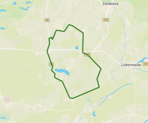
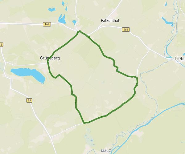
This running route covers 19.141mi starting from Löwenberger Land, Brandenburg. The run is a loop trail and returns to the trailhead. This run is rated as strenuous, expect about 3h25m to complete it. The route has an elevation gain of 673ft and an elevation loss of 676ft.
30er
Route details
5.6mph
Speed
2344 kcal
Calories burned
Loop trail
Route type
112ft
Min altitude
220ft
Max altitude
Route profile
673ft
Elevation gain
676ft
Elevation loss
112ft
Min altitude
220ft
Max altitude
How to get there
Trailhead: Hertefelder Weg 3a, 16775 Löwenberger Land, Germany
GPS coordinates of the trailhead: 52.888904, 13.271688 / 52°53'20'' N, 13°16'18'' E