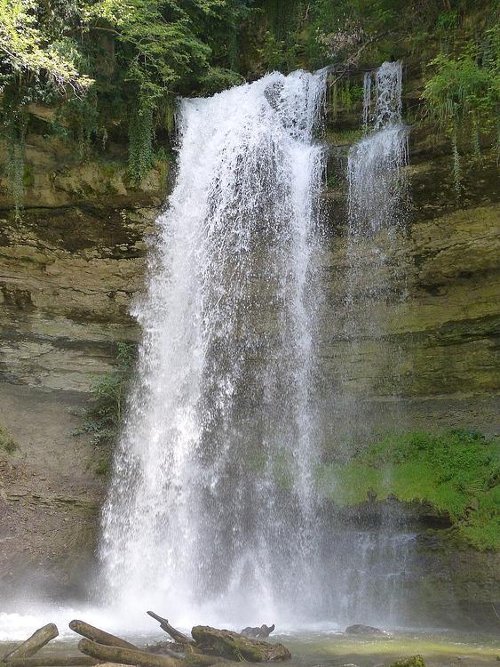
Explore this hiking route of 8,05mi starting from Caux, Vaud. The hike is a loop and returns to the starting point. This hike is rated as difficult, plan for about 6h20m to complete it. The route has a positive elevation gain of 3182ft and a negative elevation loss of 3291ft.
Description of the route by the creator
Outdoor path for Grottes de Naye CLOSED. I had to come back and change route!
