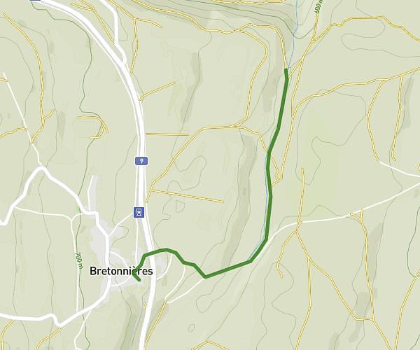
This hiking trail covers 0.754mi starting from Croy, Vaud. The hike does not return to the trailhead and ends near Chemin De La Rive Gauche Du Vallon Du Nozon, 1322 Croy. This hike is rated as easy, plan for about 24m16s to complete it. The route has an elevation gain of 89ft and an elevation loss of 161ft.
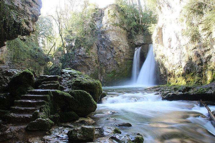
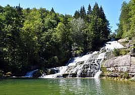
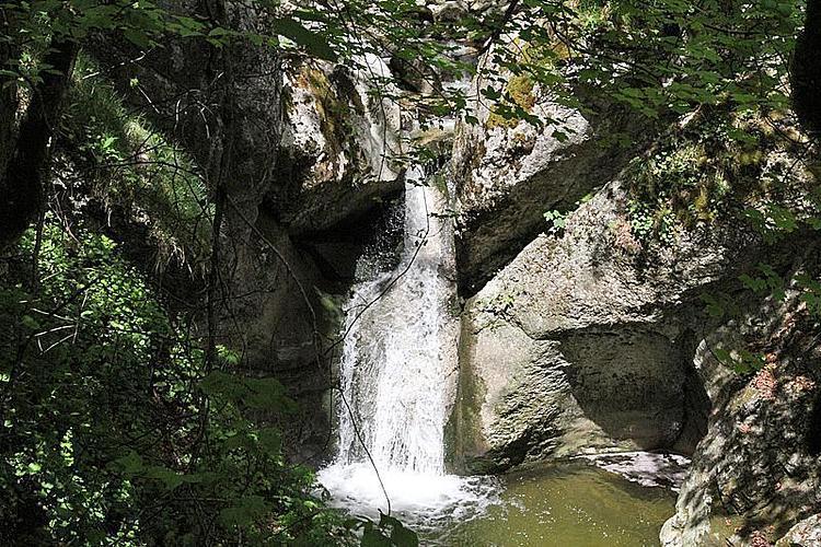
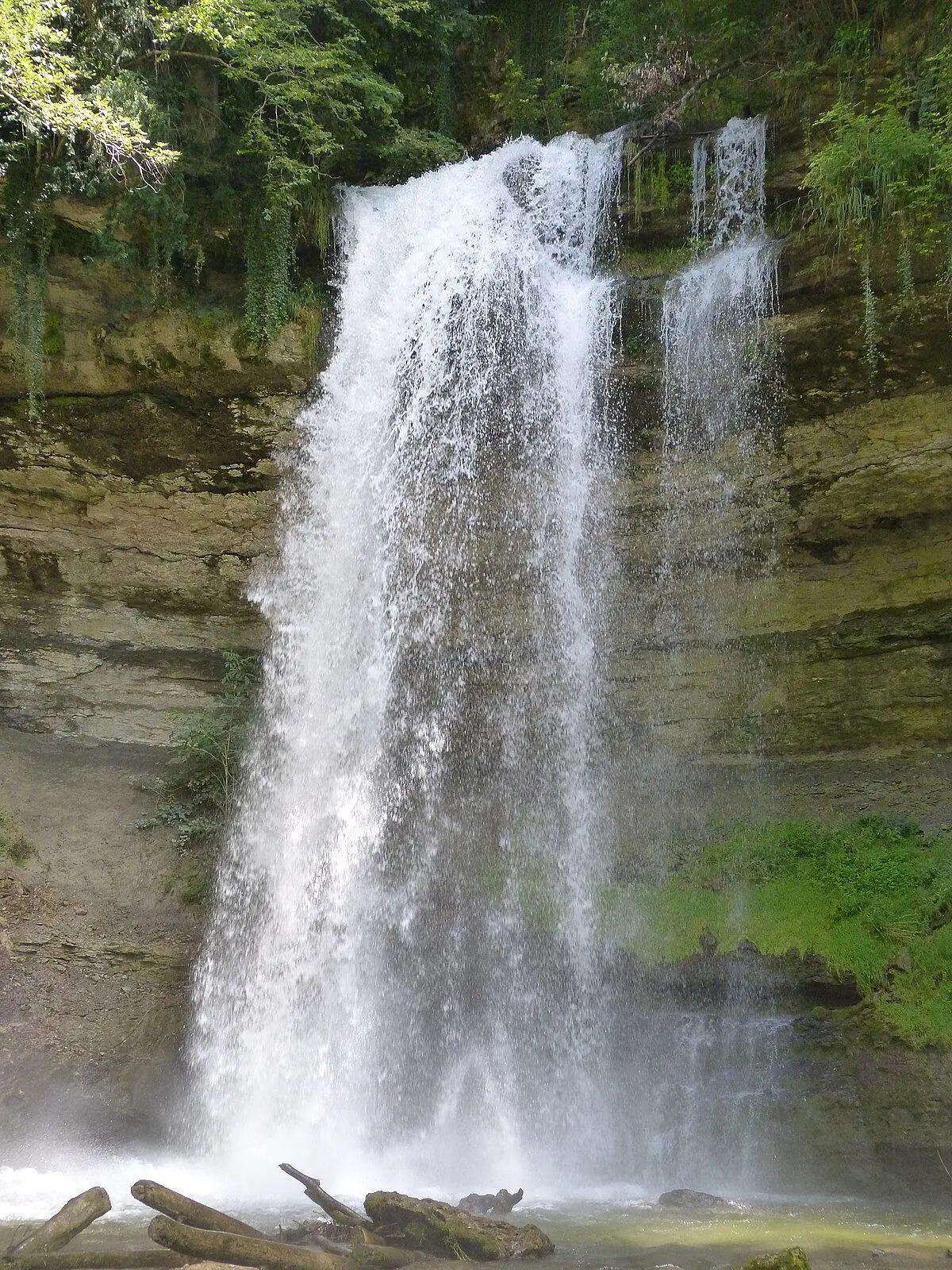
Cascade du Dard
Route details
1.86mph
Speed
176 kcal
Calories burned
6.3%
Avg grade
Point to point
Route type
2001ft
Min altitude
2090ft
Max altitude
Route profile
89ft
Elevation gain
161ft
Elevation loss
2001ft
Min altitude
2090ft
Max altitude
How to get there
Trailhead: Le Praz-Amiet, 1322 Croy
GPS coordinates of the trailhead: 46.69223, 6.47994 / 46°41'32'' N, 6°28'47'' E