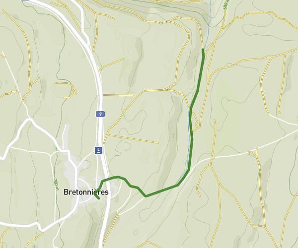
This hiking trail covers 1.1mi starting from Vallorbe, Vaud. The hike is a loop trail and returns to the trailhead. This hike is rated as moderate, plan for about 35m24s to complete it. The route has an elevation gain of 482ft and an elevation loss of 482ft.
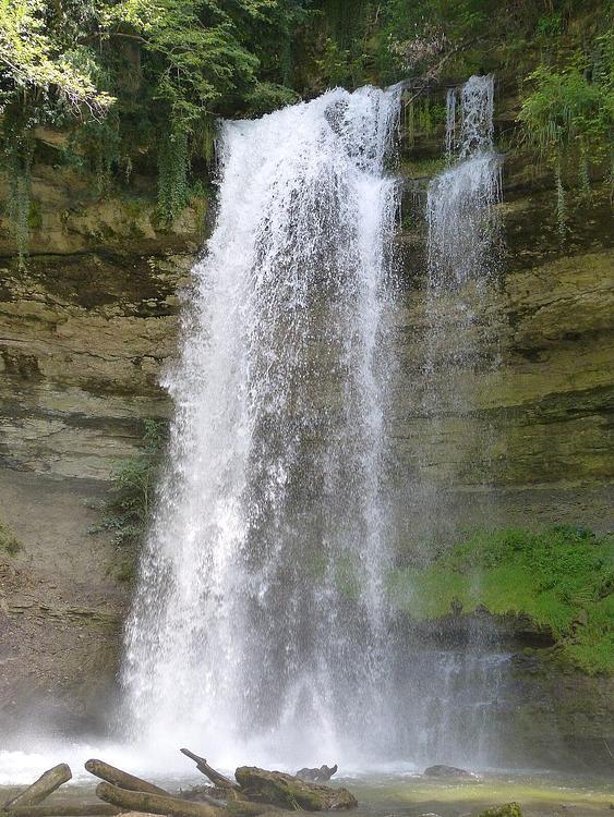
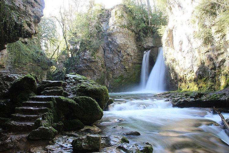
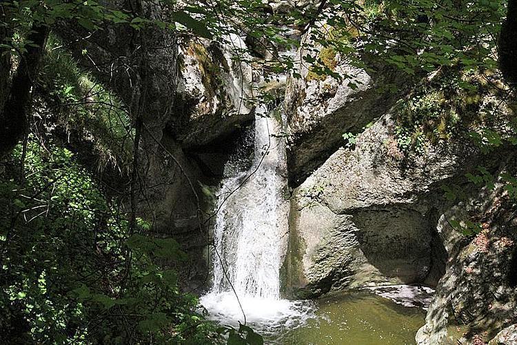
saut du Day

Route details
1.86mph
Speed
282 kcal
Calories burned
16.6%
Avg grade
Loop trail
Route type
2129ft
Min altitude
2530ft
Max altitude
Steep climb
Route profile
482ft
Elevation gain
482ft
Elevation loss
2129ft
Min altitude
2530ft
Max altitude
How to get there
Trailhead: Chemin De La Place D'armes, 1337 Vallorbe
GPS coordinates of the trailhead: 46.71922, 6.40227 / 46°43'9'' N, 6°24'8'' E