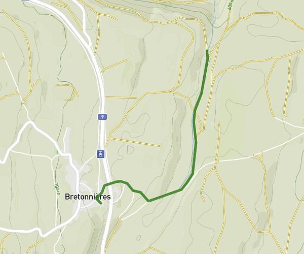
This hiking trail covers 0.926mi starting from Vuiteboeuf, Vaud. The hike does not return to the trailhead and ends near 151, 1450 Le Château-de-Sainte-Croix. This hike is rated as moderate, plan for about 29m48s to complete it. The route has an elevation gain of 919ft and an elevation loss of 243ft.
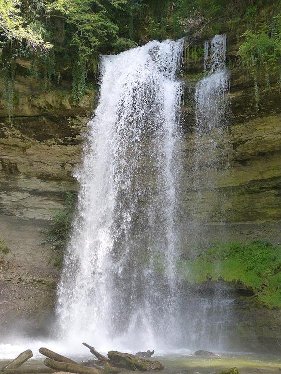
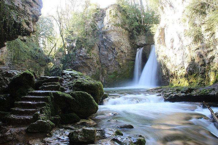
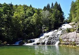
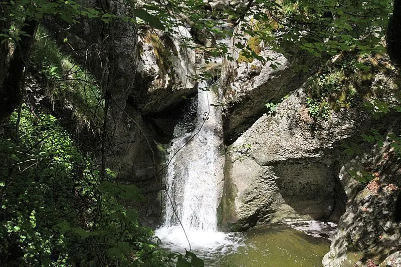
Cascades de Covatanne
Route details
1.86mph
Speed
274 kcal
Calories burned
23.8%
Avg grade
Point to point
Route type
1959ft
Min altitude
2743ft
Max altitude
Steep climb
Route profile
919ft
Elevation gain
243ft
Elevation loss
1959ft
Min altitude
2743ft
Max altitude
How to get there
Trailhead: Route De Sainte-Croix, 1445 Vuiteboeuf
GPS coordinates of the trailhead: 46.80765, 6.54636 / 46°48'27'' N, 6°32'46'' E