This hiking trail covers 1.166mi starting from Bretonnières, Vaud. The hike does not return to the trailhead and ends near Avenue Du 24 Mars, 1329 Bretonnières. This hike is rated as easy, plan for about 37m31s to complete it. The route has an elevation gain of 52ft and an elevation loss of 213ft.
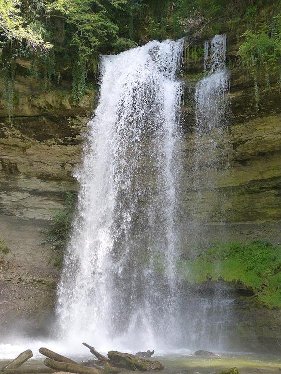
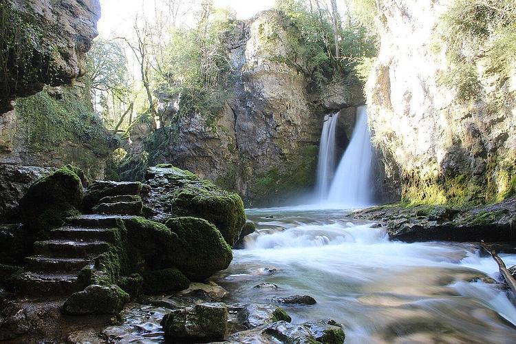
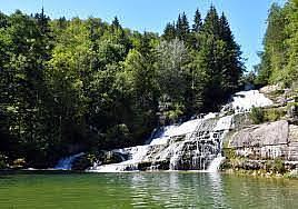
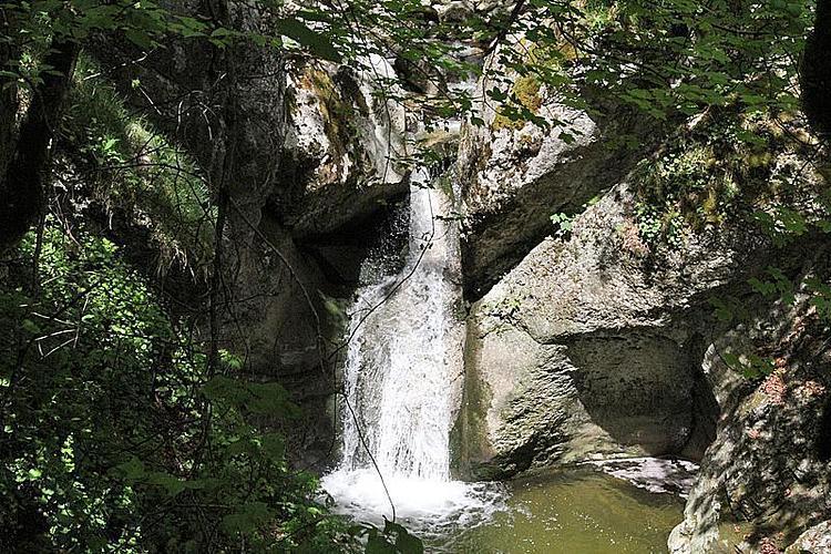
Cascade des Bretonnières
Route details
1.86mph
Speed
266 kcal
Calories burned
4.3%
Avg grade
Point to point
Route type
2024ft
Min altitude
2208ft
Max altitude
Route profile
52ft
Elevation gain
213ft
Elevation loss
2024ft
Min altitude
2208ft
Max altitude
How to get there
Trailhead: Rue Etienne, 1329 Bretonnières
GPS coordinates of the trailhead: 46.71181, 6.47475 / 46°42'42'' N, 6°28'29'' E