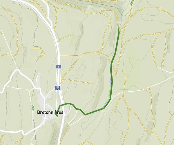
This hiking trail covers 4.565mi starting from La Sarraz, Vaud. The hike is a loop trail and returns to the trailhead. This hike is rated as moderate, plan for about 2h26m to complete it. The route has an elevation gain of 689ft and an elevation loss of 689ft.
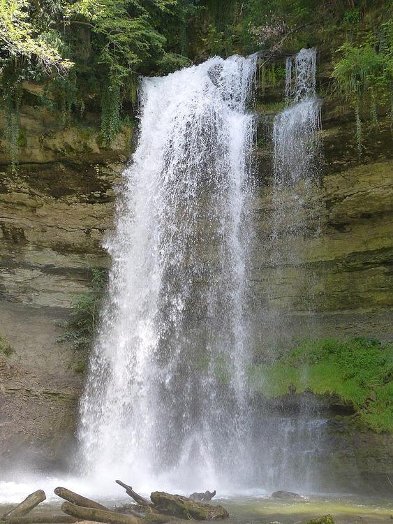
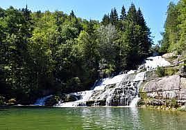
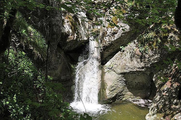
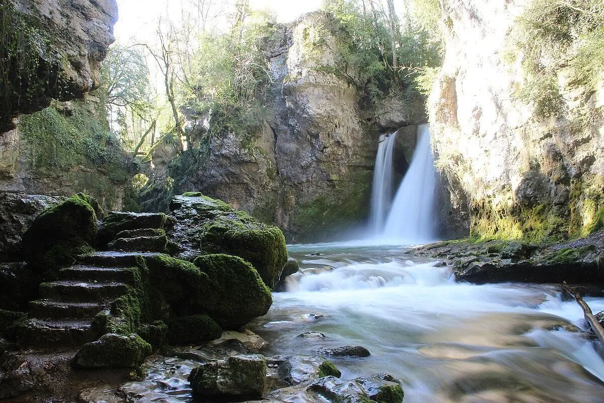
Cascades de Ferreyres
Route details
1.86mph
Speed
1078 kcal
Calories burned
5.7%
Avg grade
Loop trail
Route type
1522ft
Min altitude
2047ft
Max altitude
Route profile
689ft
Elevation gain
689ft
Elevation loss
1522ft
Min altitude
2047ft
Max altitude
How to get there
Trailhead: Route De Cossonay, 1315 La Sarraz
GPS coordinates of the trailhead: 46.65297, 6.5087 / 46°39'10'' N, 6°30'31'' E