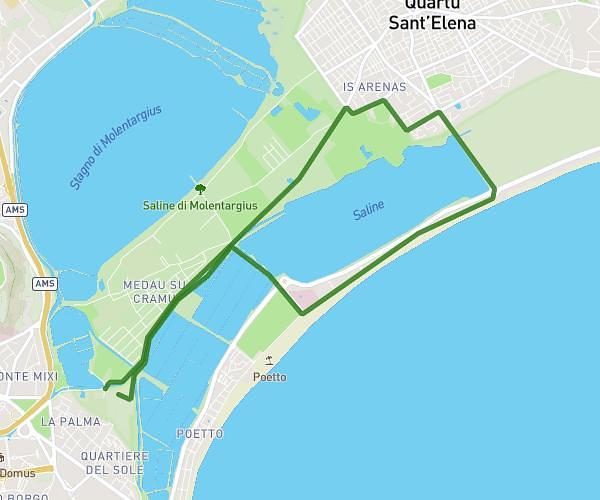
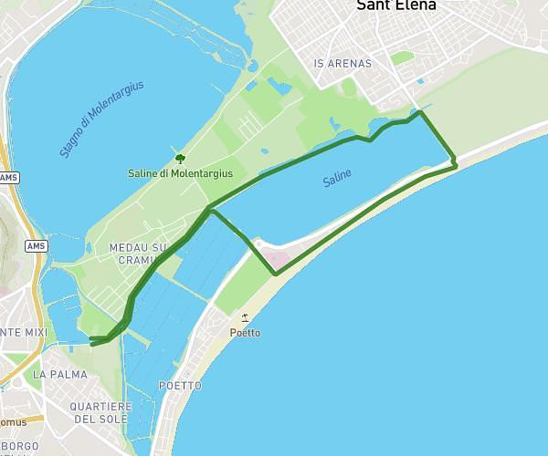
This running route covers 8.832mi starting from Cagliari, Cagliari. The run does not return to the trailhead and ends near Via S'arrulloni 42, 09126 Cagliari Cagliari, Italy. This run is rated as hard, expect about 1h35m to complete it. The route has an elevation gain of 20ft and an elevation loss of 26ft.
Ford1
Route details
5.58mph
Speed
1086 kcal
Calories burned
Point to point
Route type
-3ft
Min altitude
13ft
Max altitude
Route profile
20ft
Elevation gain
26ft
Elevation loss
-3ft
Min altitude
13ft
Max altitude
How to get there
Trailhead: Via Del Sale 3, 09126 Cagliari Cagliari, Italy
GPS coordinates of the trailhead: 39.20649, 9.15187 / 39°12'23'' N, 9°9'6'' E