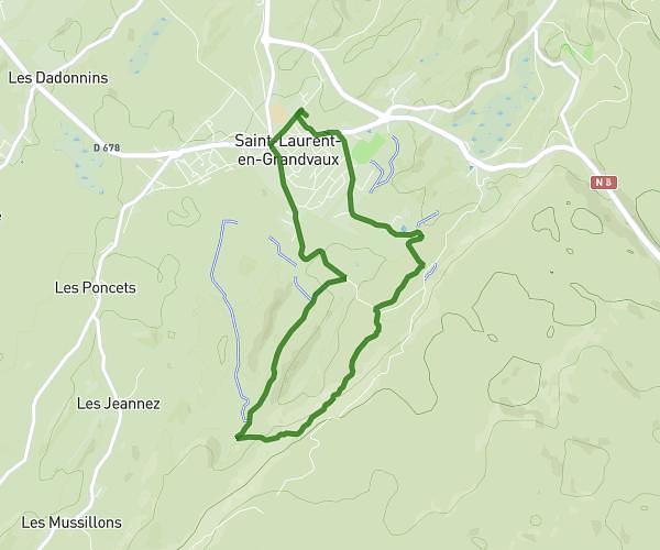
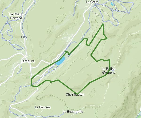
This running route covers 3.362mi starting from Saint-Laurent-en-Grandvaux, Jura. The run is a loop trail and returns to the trailhead. This run is rated as easy, expect about 36m to complete it. The route has an elevation gain of 397ft and an elevation loss of 397ft.
Trail 35/40 min 121+
Route details
5.6mph
Speed
412 kcal
Calories burned
Loop trail
Route type
2874ft
Min altitude
3025ft
Max altitude
Route profile
397ft
Elevation gain
397ft
Elevation loss
2874ft
Min altitude
3025ft
Max altitude
How to get there
Trailhead: 1 Rue Aristide Briand, 39150 Saint-Laurent-en-Grandvaux, France
GPS coordinates of the trailhead: 46.57795, 5.956263 / 46°34'40'' N, 5°57'22'' E