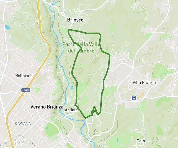
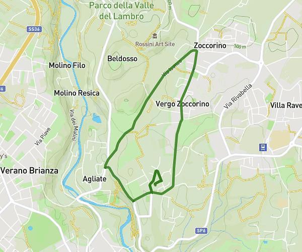
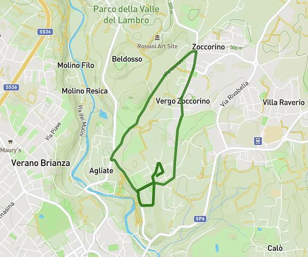
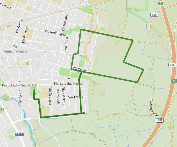
This running route covers 3.226mi starting from Milano, Milan. The run does not return to the trailhead and ends near Via Ulrico Hoepli 8, 20121 Milano Milan, Italy. This run is rated as easy, expect about 35m3s to complete it. The route has an elevation gain of 26ft and an elevation loss of 10ft.
20 agosto piove
Route details
5.52mph
Speed
401 kcal
Calories burned
Point to point
Route type
407ft
Min altitude
433ft
Max altitude
Route profile
26ft
Elevation gain
10ft
Elevation loss
407ft
Min altitude
433ft
Max altitude
How to get there
Trailhead: Via Pietro Metastasio 5, 20123 Milano Milan, Italy
GPS coordinates of the trailhead: 45.46838, 9.17421 / 45°28'6'' N, 9°10'27'' E