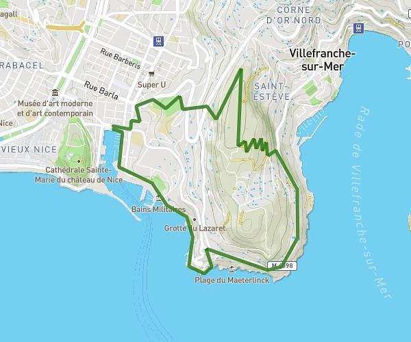
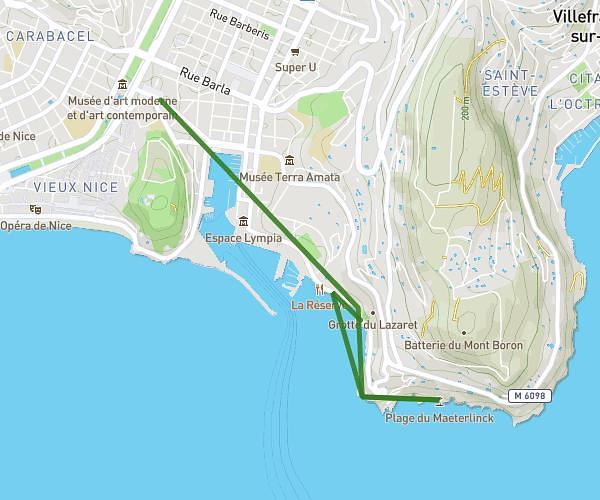
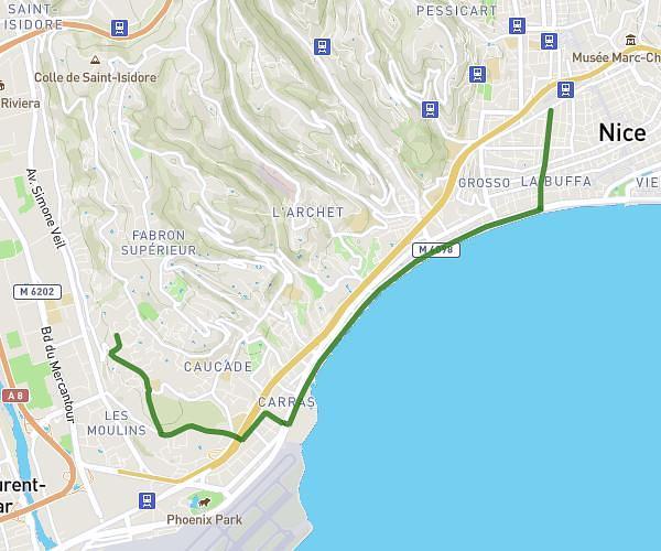
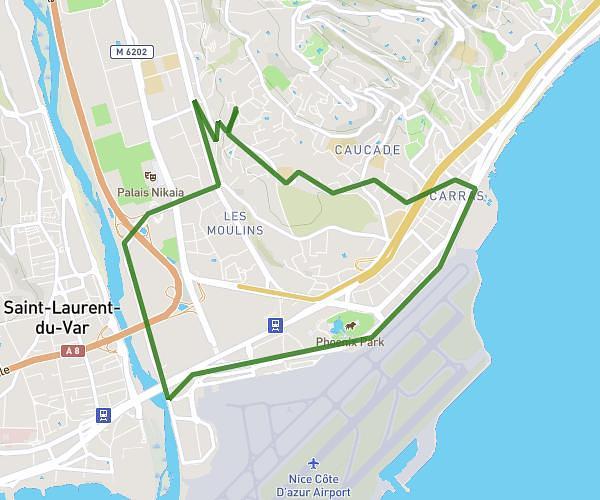
This running route covers 6.286mi starting from Monaco, Alpes-Maritimes. The run is a loop trail and returns to the trailhead. This run is rated as moderate, expect about 1h15m to complete it. The route has an elevation gain of 2339ft and an elevation loss of 2339ft.
LA TURBIE G1
Route details
4.97mph
Speed
867 kcal
Calories burned
Loop trail
Route type
10ft
Min altitude
1808ft
Max altitude
Route profile
2339ft
Elevation gain
2339ft
Elevation loss
10ft
Min altitude
1808ft
Max altitude
How to get there
Trailhead: Tunnel Rainier Iii, 98000 Monaco
GPS coordinates of the trailhead: 43.73089, 7.41733 / 43°43'51'' N, 7°25'2'' E