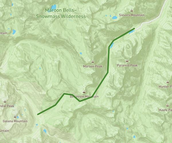
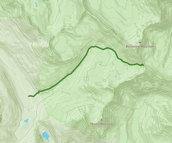
This hiking trail covers 7.665mi starting from Estes Park, Colorado. The hike is a loop trail and returns to the trailhead. This hike is rated as hard, plan for about 6h35m to complete it. The route has an elevation gain of 1299ft and an elevation loss of 1299ft.
4 lakes reverse
Route details
1.16mph
Speed
2913 kcal
Calories burned
6.4%
Avg grade
Loop trail
Route type
9301ft
Min altitude
10233ft
Max altitude
High altitude
Route profile
1299ft
Elevation gain
1299ft
Elevation loss
9301ft
Min altitude
10233ft
Max altitude
How to get there
Trailhead: Bear Lake Road, Estes Park, Colorado 80517, United States
GPS coordinates of the trailhead: 40.31167, -105.64451 / 40°18'42'' N, 105°38'40'' W