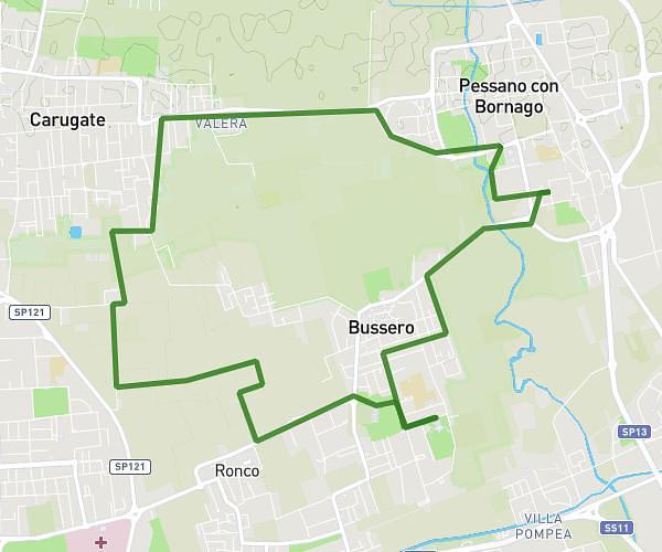
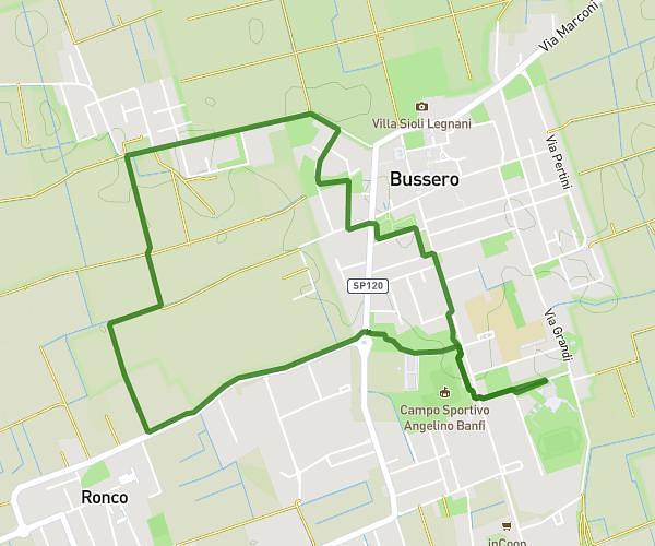
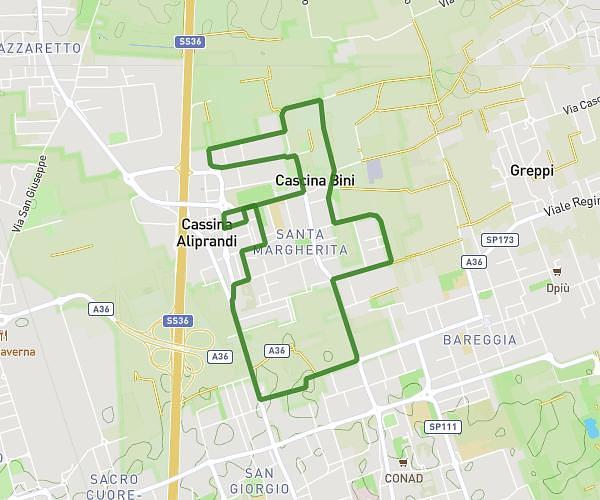
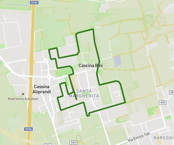
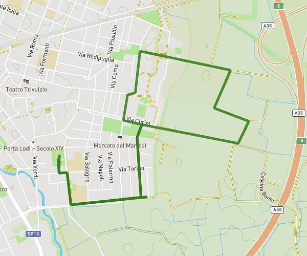
This running route covers 5.186mi starting from Rodano, Milan. The run is a loop trail and returns to the trailhead. This run is rated as moderate, expect about 45m31s to complete it. The route has an elevation gain of 220ft and an elevation loss of 217ft.
RODANO 8Km
Route details
6.84mph
Speed
520 kcal
Calories burned
Loop trail
Route type
338ft
Min altitude
374ft
Max altitude
Route profile
220ft
Elevation gain
217ft
Elevation loss
338ft
Min altitude
374ft
Max altitude
How to get there
Trailhead: Via Palermo 22, 20053 Rodano Milan, Italy
GPS coordinates of the trailhead: 45.464565, 9.34115 / 45°27'52'' N, 9°20'28'' E