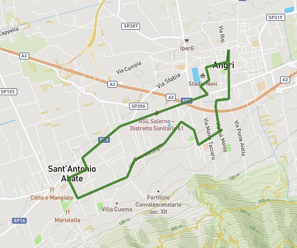
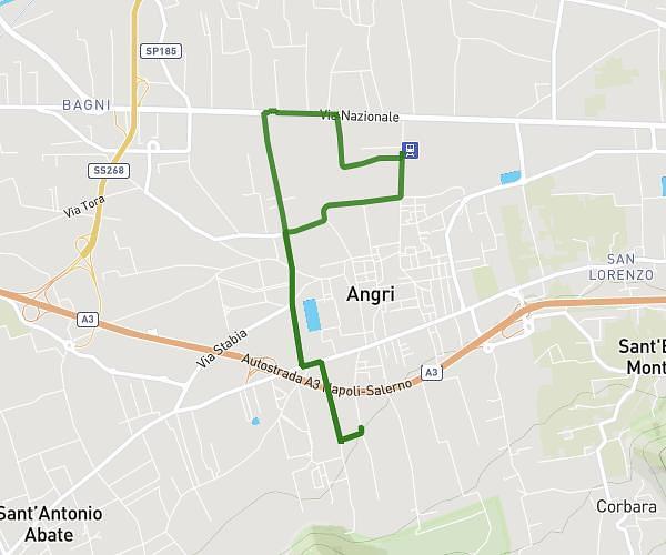
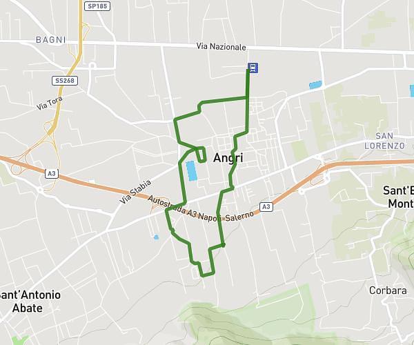
This running route covers 4.861mi starting from Angri, Salerno. The run is a loop trail and returns to the trailhead. This run is rated as easy, expect about 48m to complete it. The route has an elevation gain of 236ft and an elevation loss of 236ft.
John_2
Route details
6.08mph
Speed
549 kcal
Calories burned
Loop trail
Route type
82ft
Min altitude
171ft
Max altitude
Route profile
236ft
Elevation gain
236ft
Elevation loss
82ft
Min altitude
171ft
Max altitude
How to get there
Trailhead: Via Del Monte 65, 84012 Angri Salerno, Italy
GPS coordinates of the trailhead: 40.729421, 14.572468 / 40°43'45'' N, 14°34'20'' E